






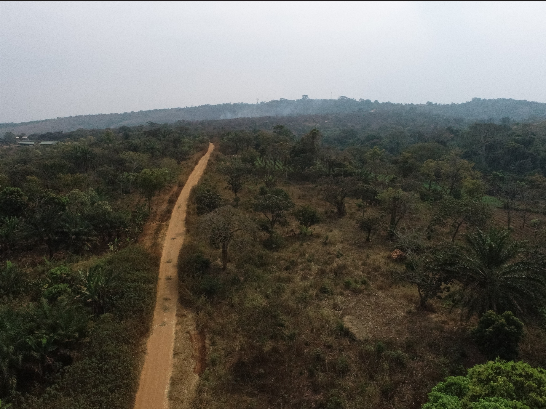
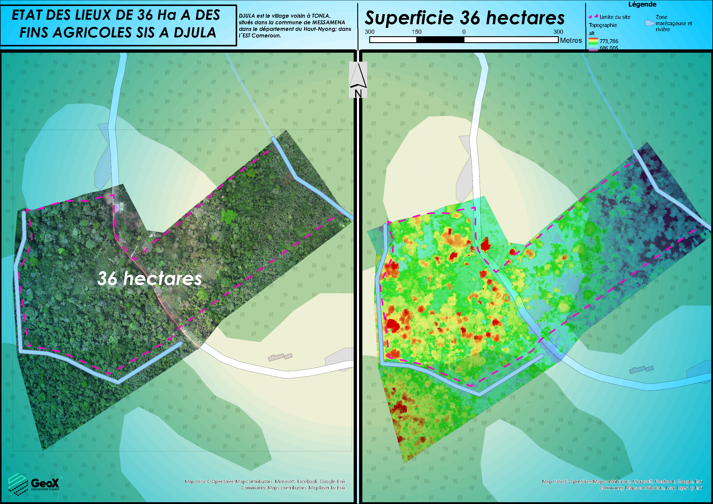
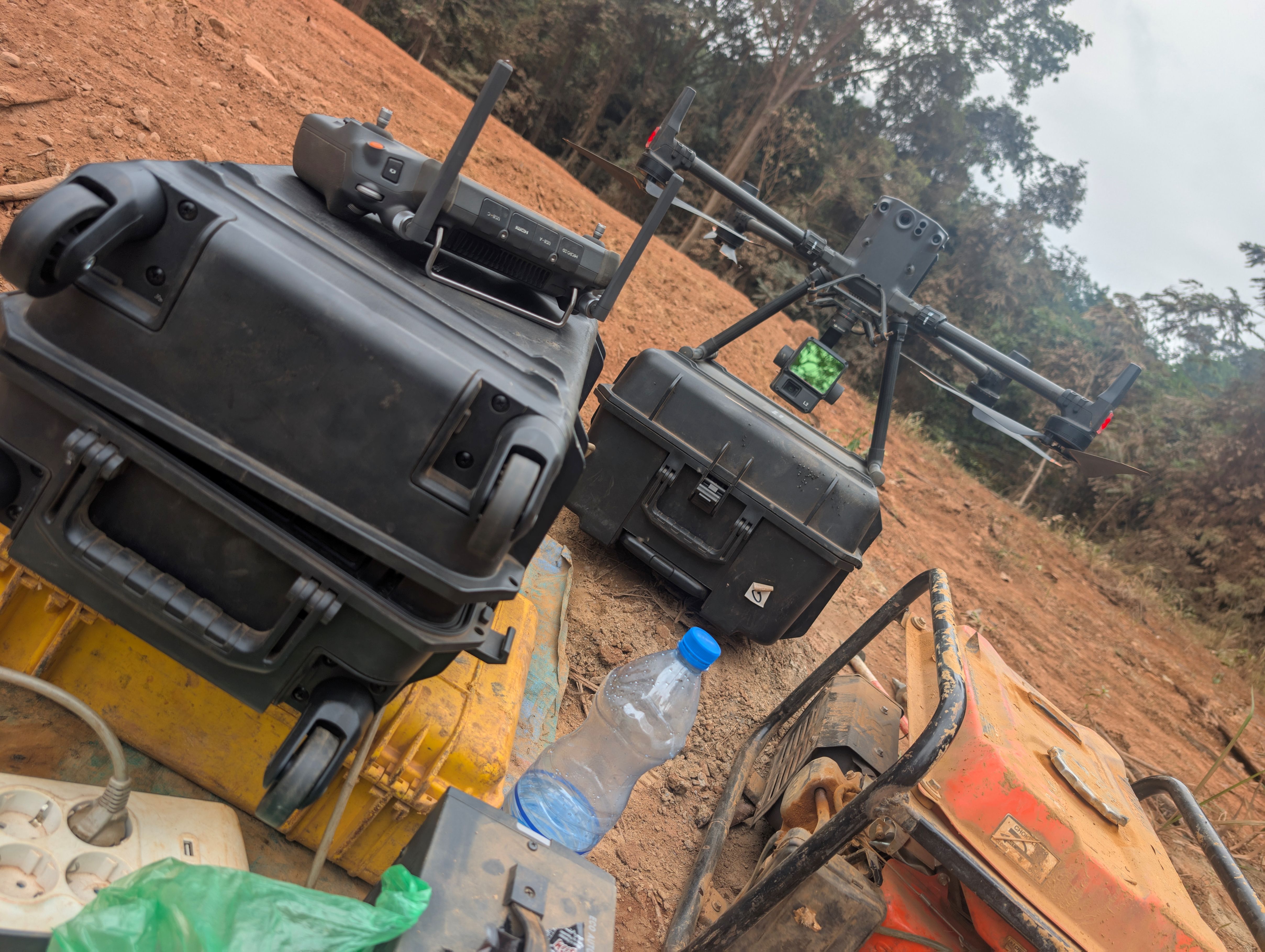
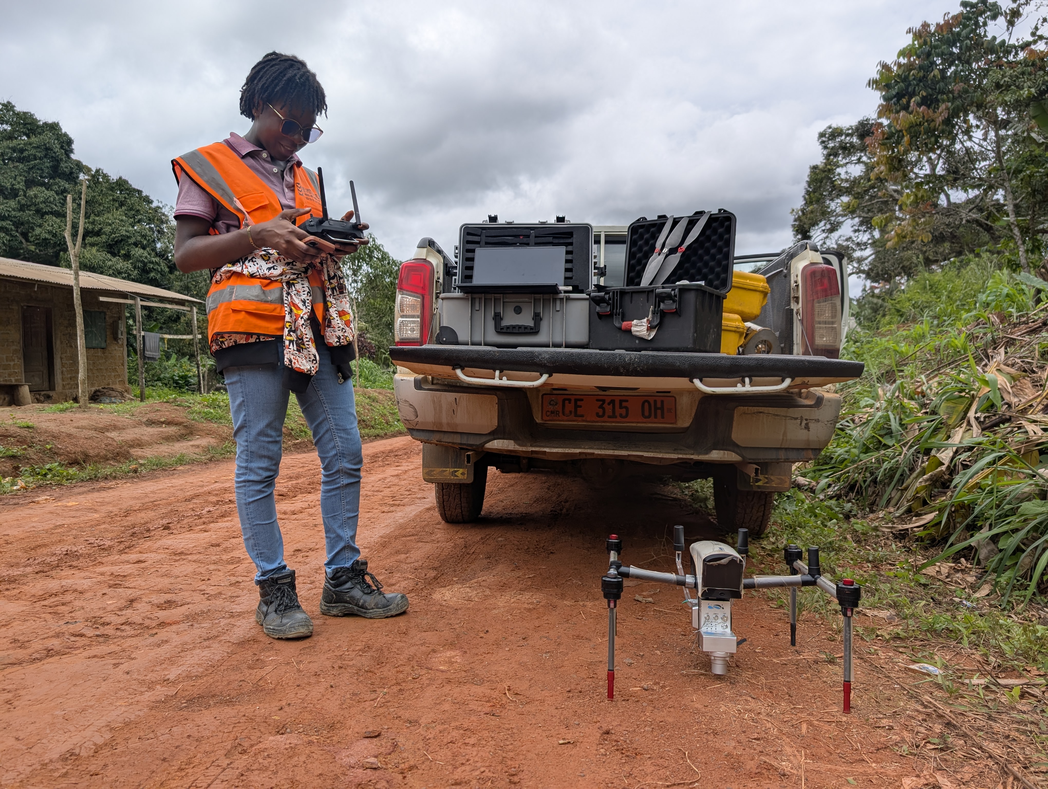
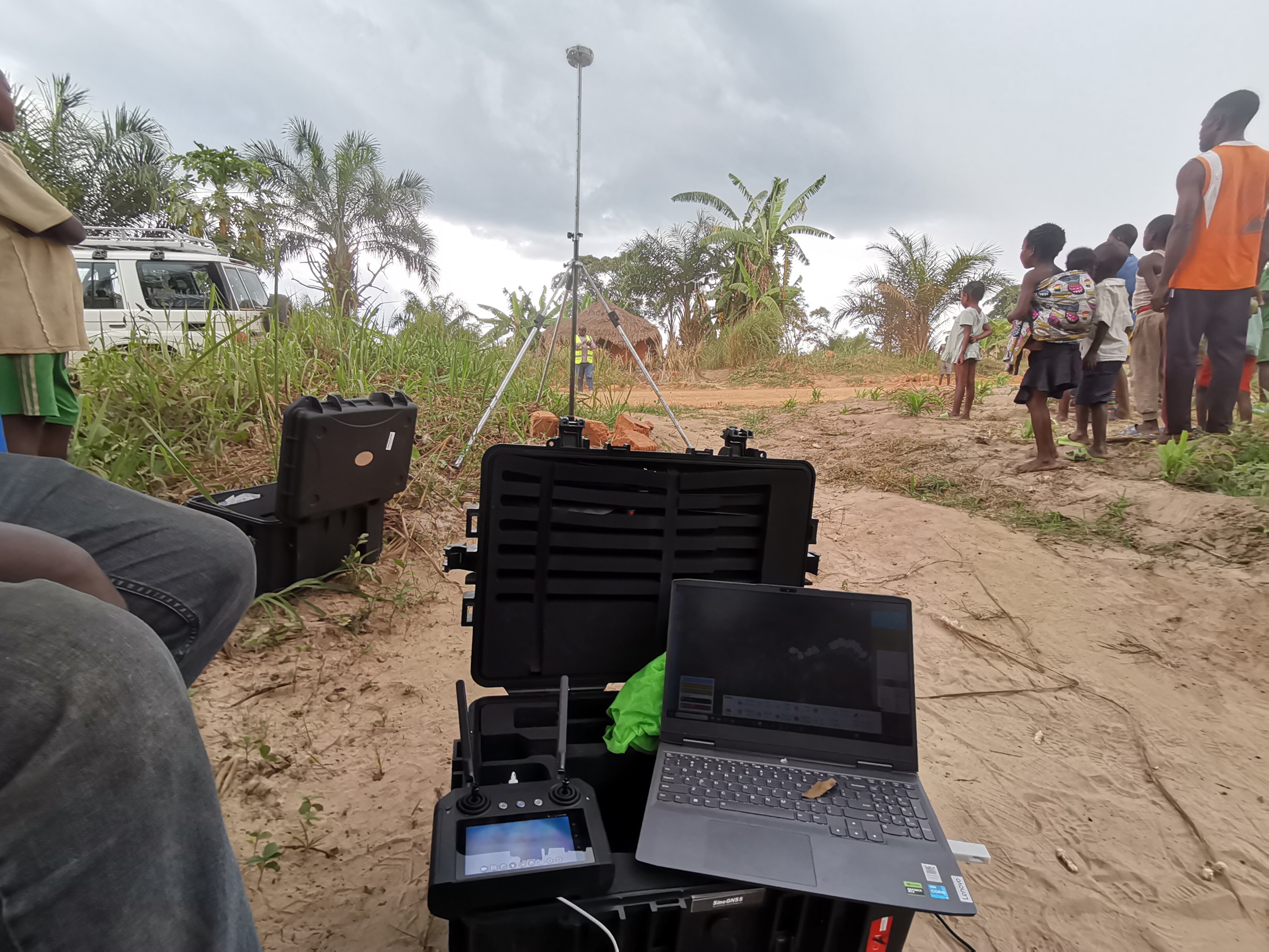
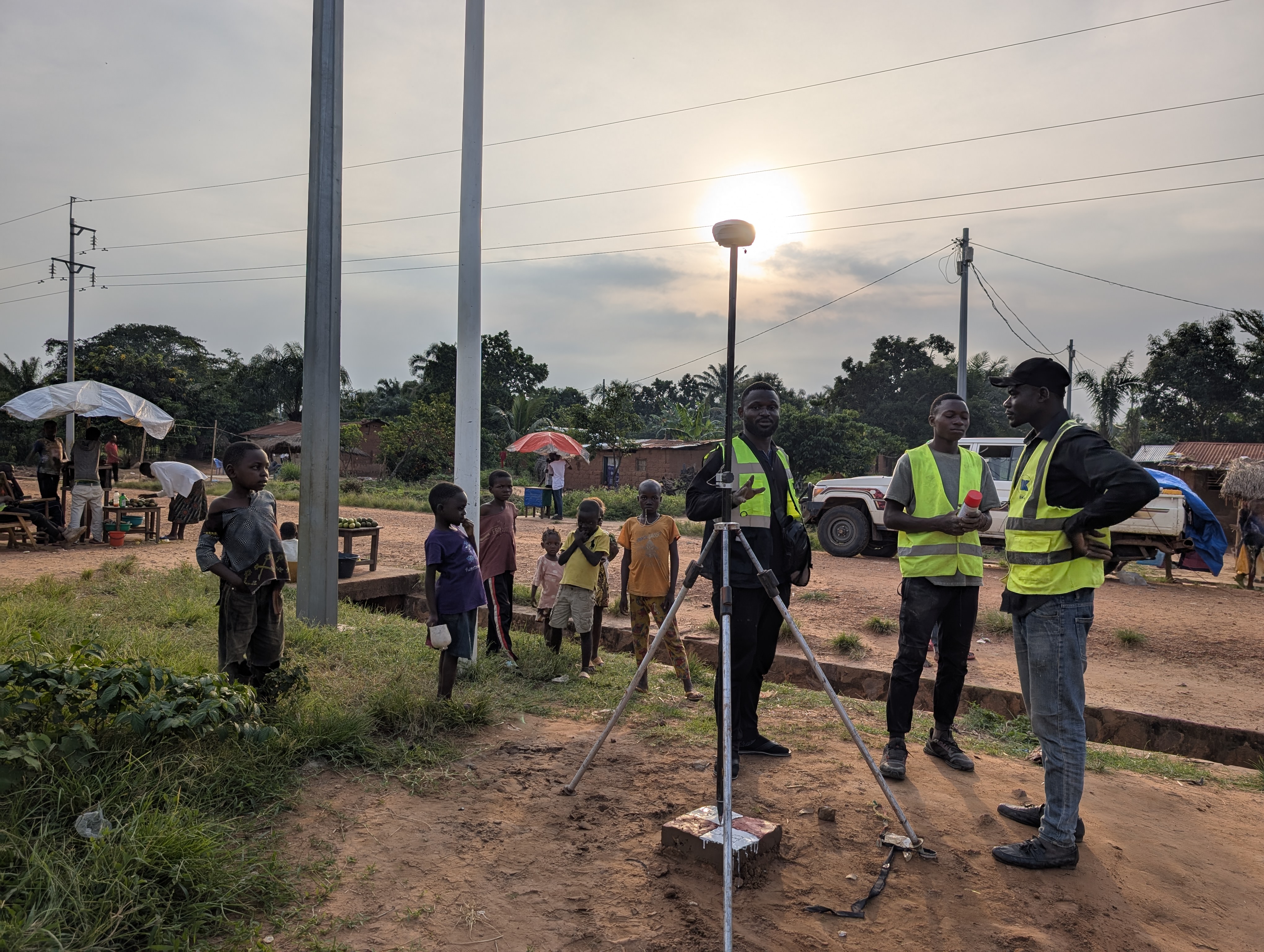


LiDAR technology enables the capture of terrain and infrastructure with very high accuracy, even in dense or hard-to-access environments. It is particularly well suited for topographic surveys along long corridors, large-scale areas, and 3D modeling of cities or complex terrains, delivering reliable and highly detailed spatial data for engineering and planning purposes.
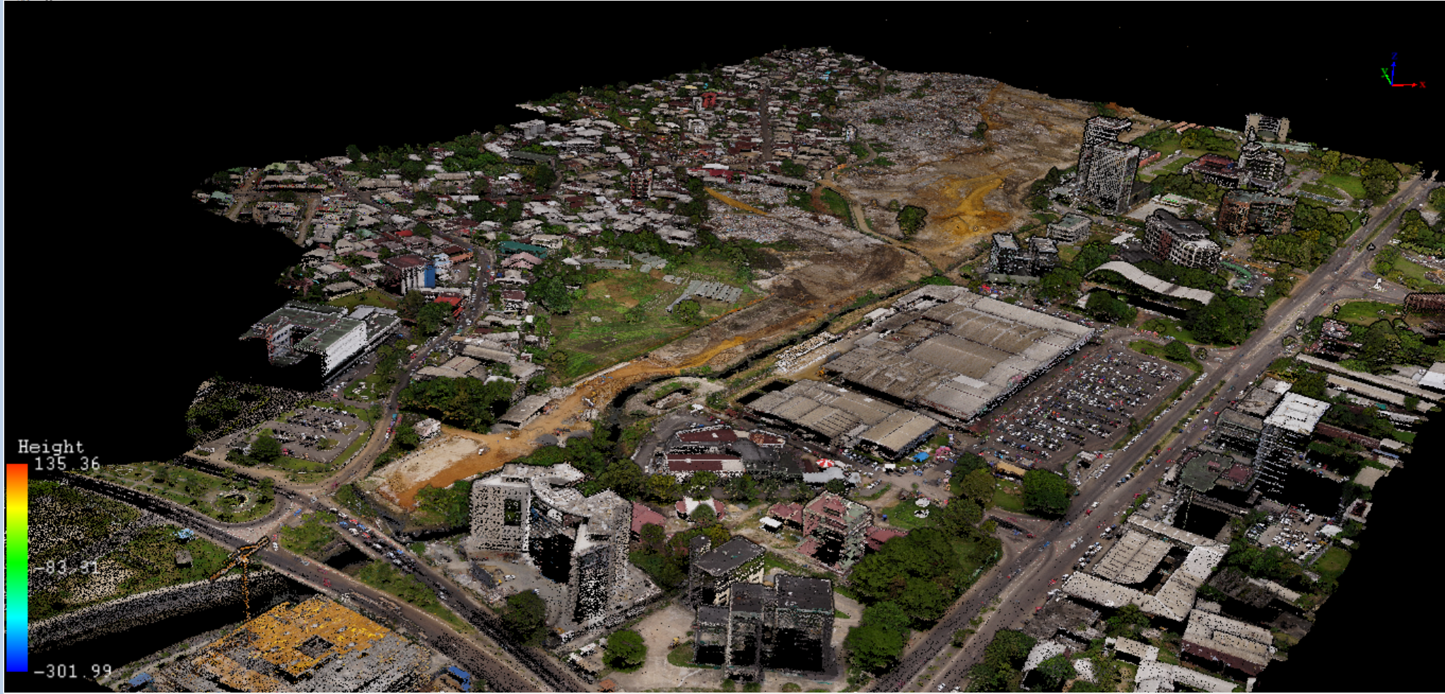
LiDAR – High-Precision Mapping
Related services
You might also be interested in
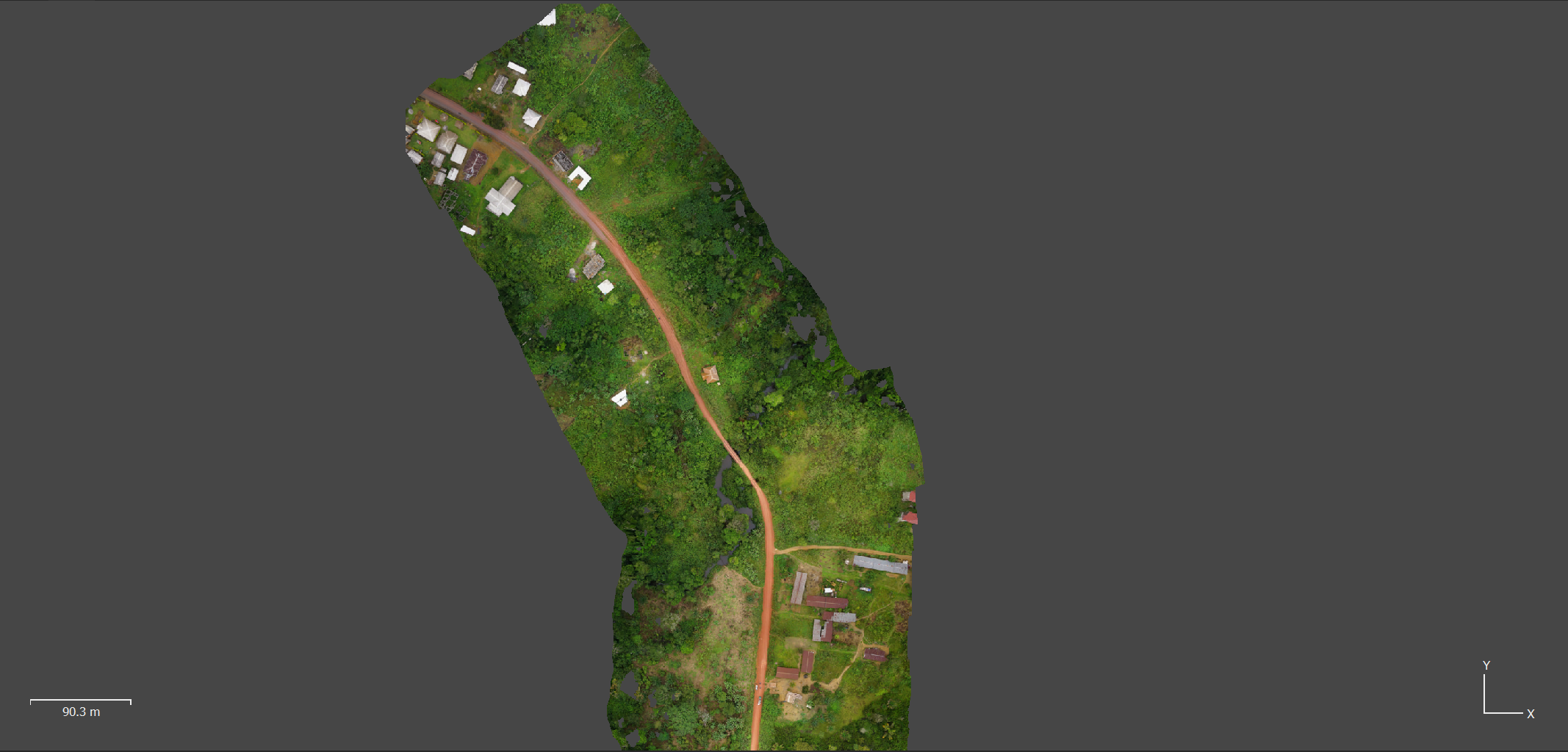
Photogrammetry – 3D Modeling & Orthophotography
Read more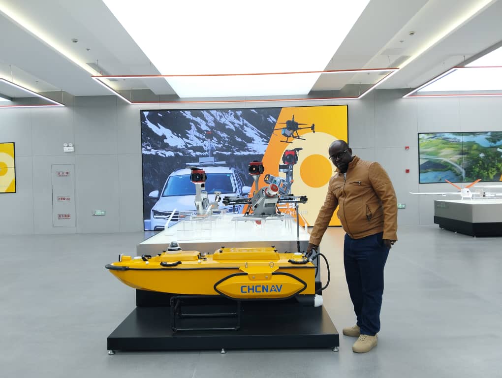
Bathymetry
Read more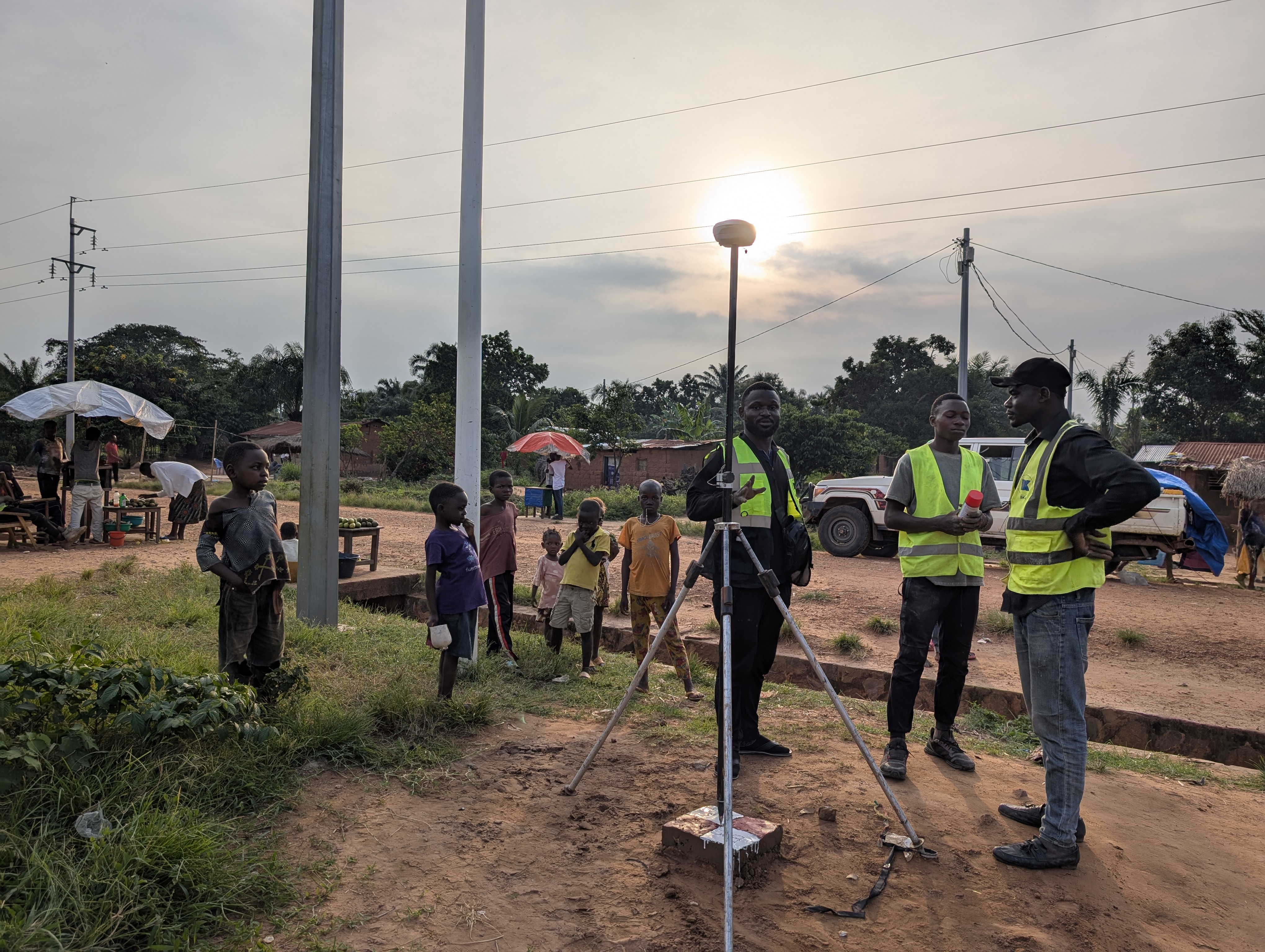
GNSS, Topometry & Reference Networks
Read more
Explore