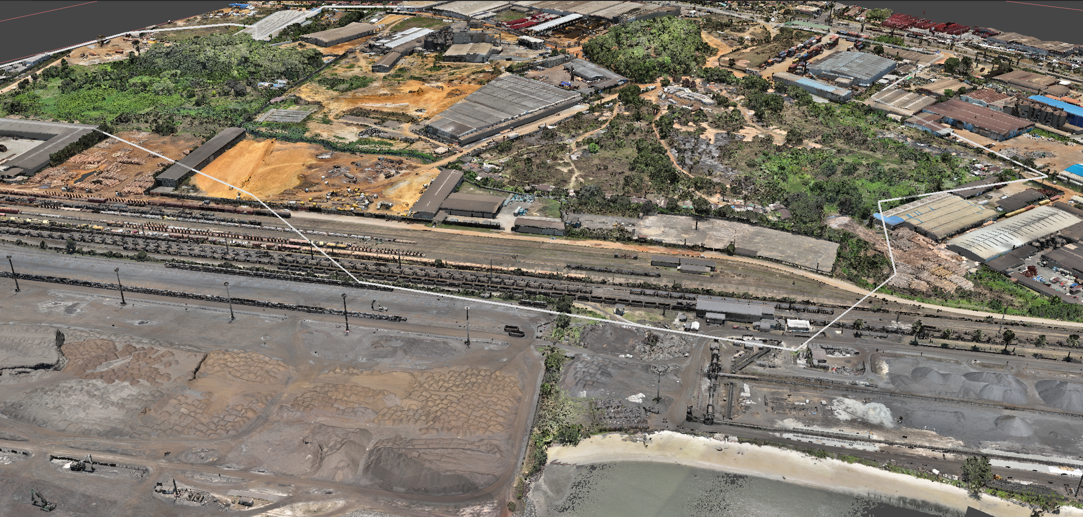


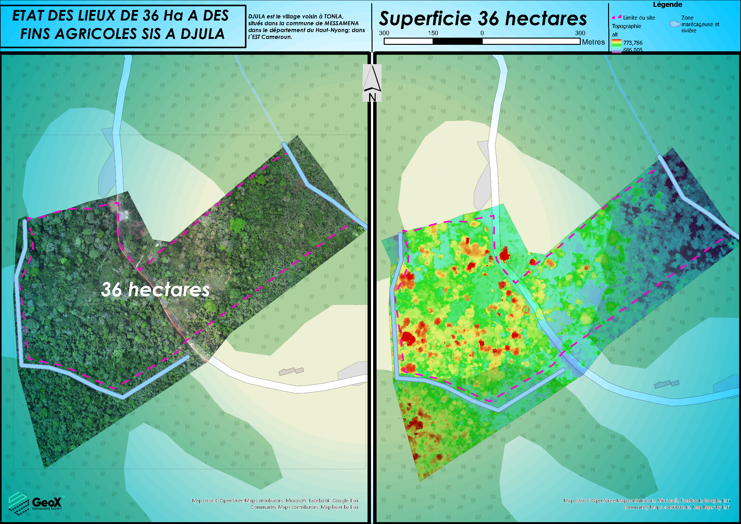
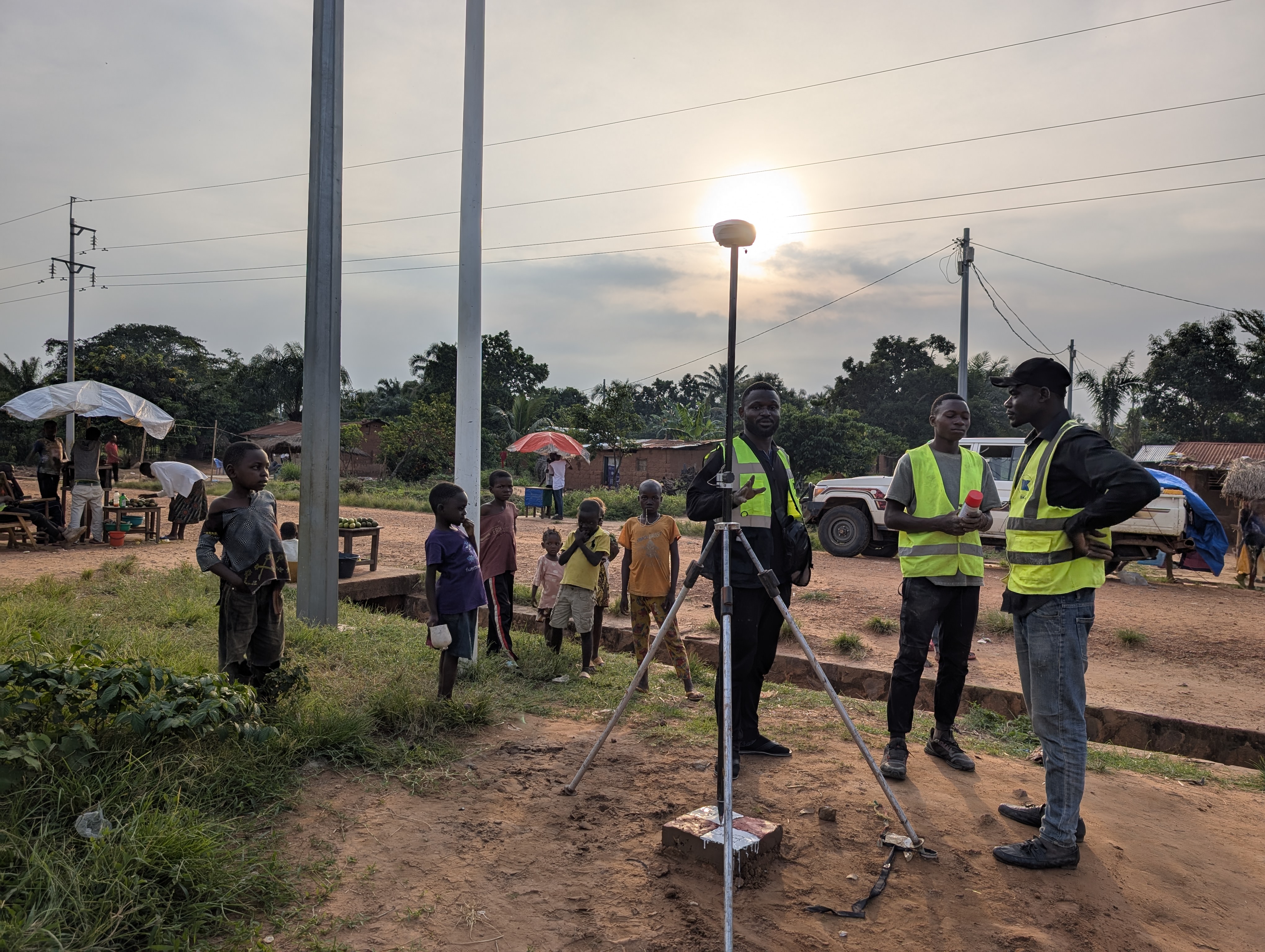
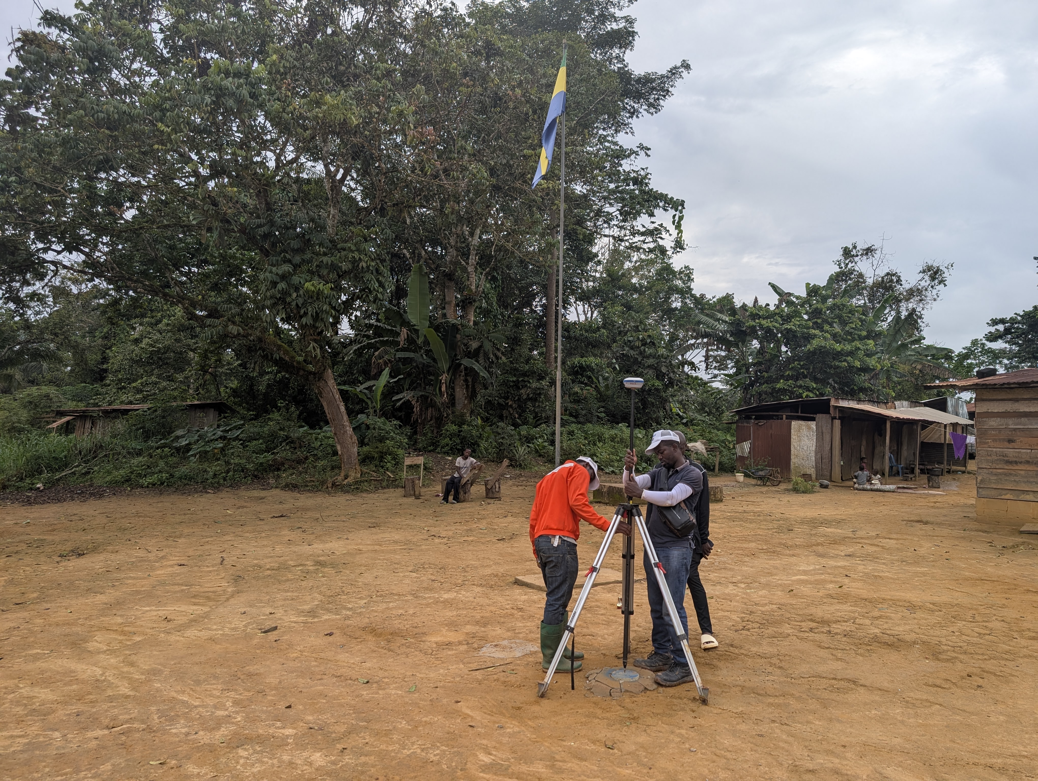

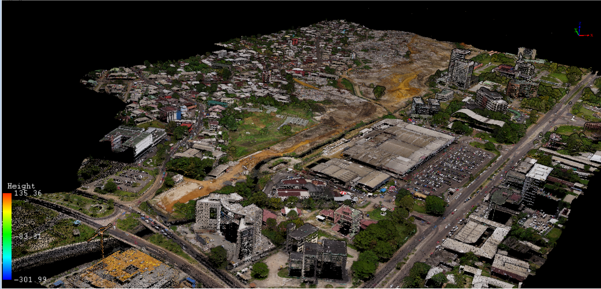
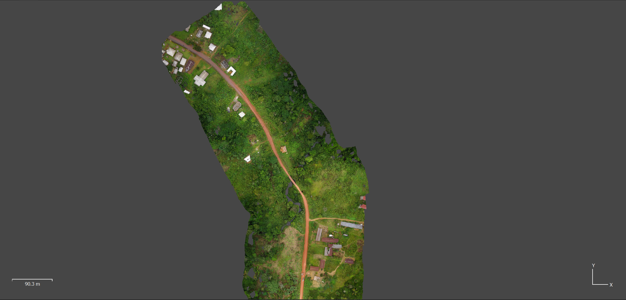


In a world where geospatial technologies are rapidly evolving, the demand for reliable and accurate solutions continues to grow. Geospatial Experts is positioned as a key player in Africa, providing innovative solutions for the acquisition, processing, and analysis of spatial data.
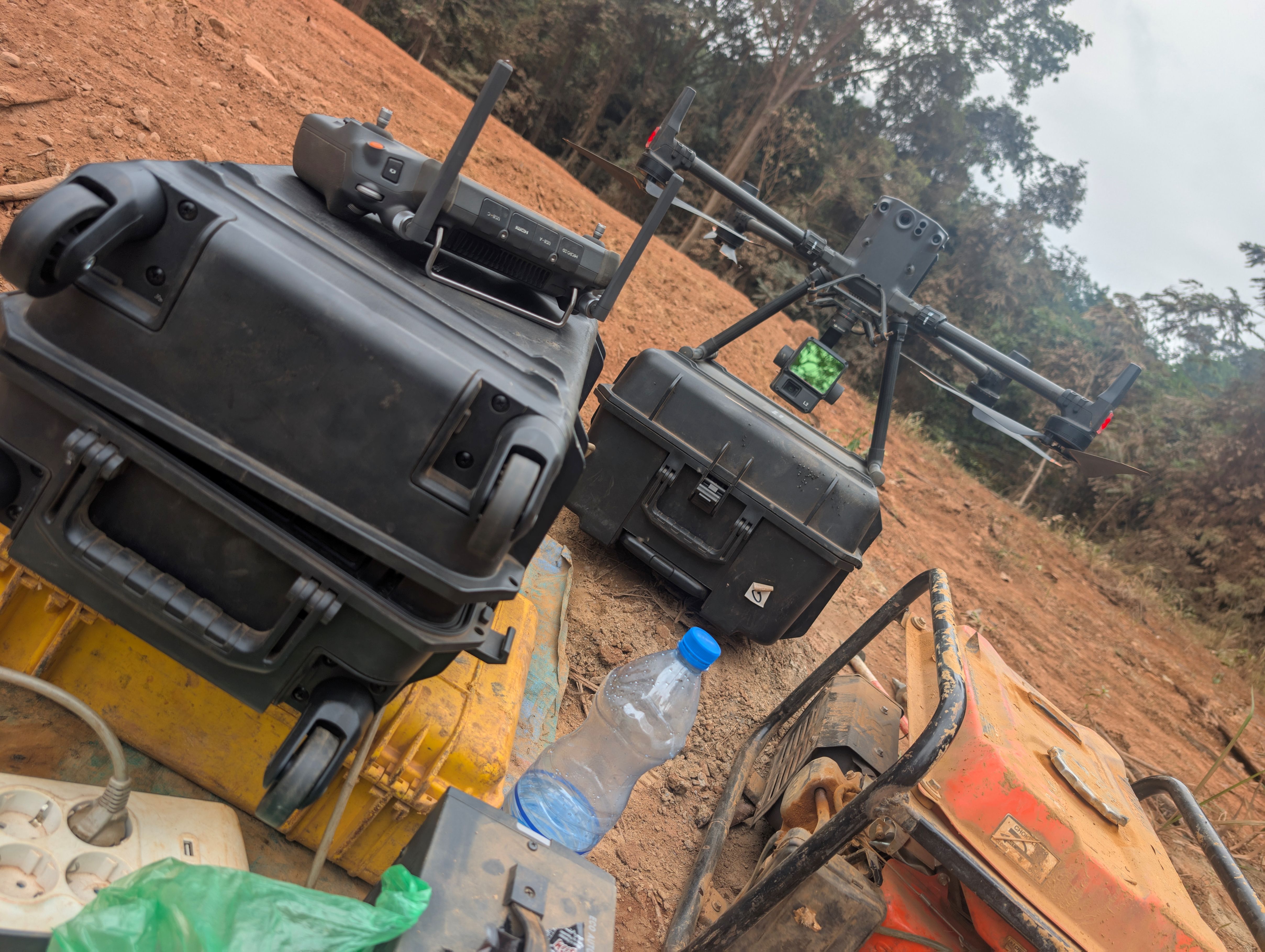
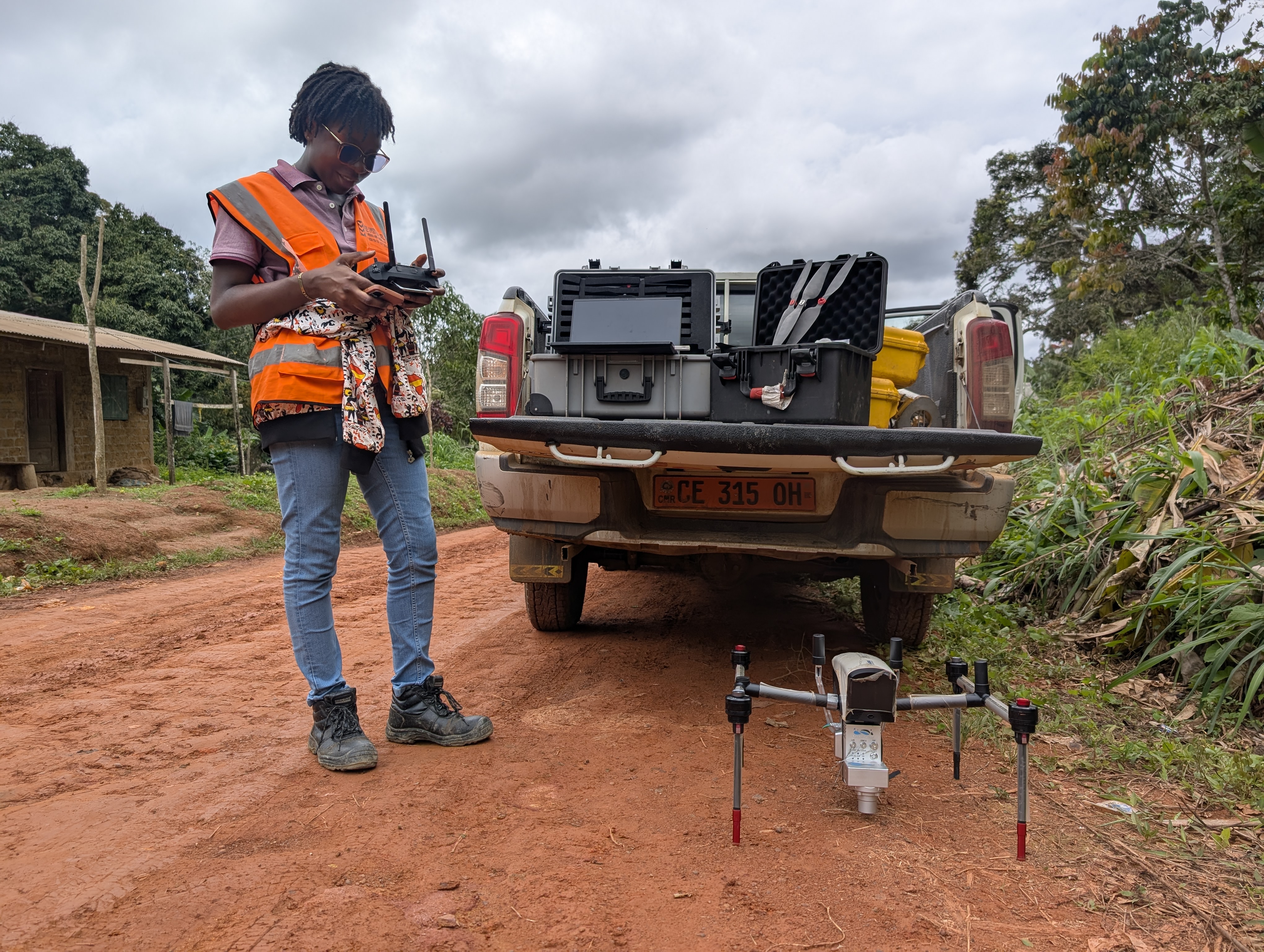
With advanced expertise in LiDAR, photogrammetry, GNSS, and GIS mapping, our team of geospatial engineers and experts supports large-scale projects in topography, 3D modeling, high-precision positioning, and analytical mapping.