


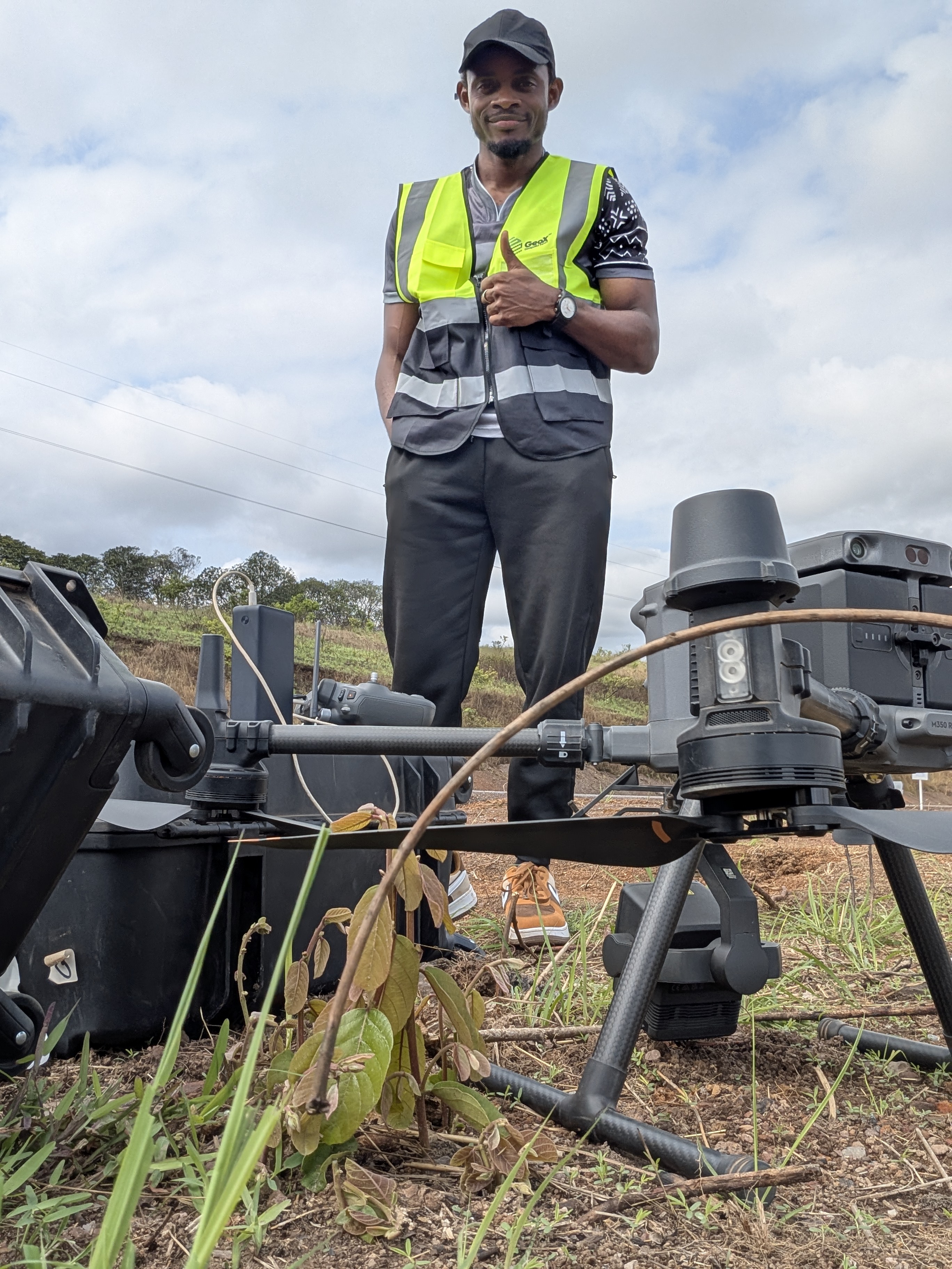
Geospatial Expert - Bringing reality to you.
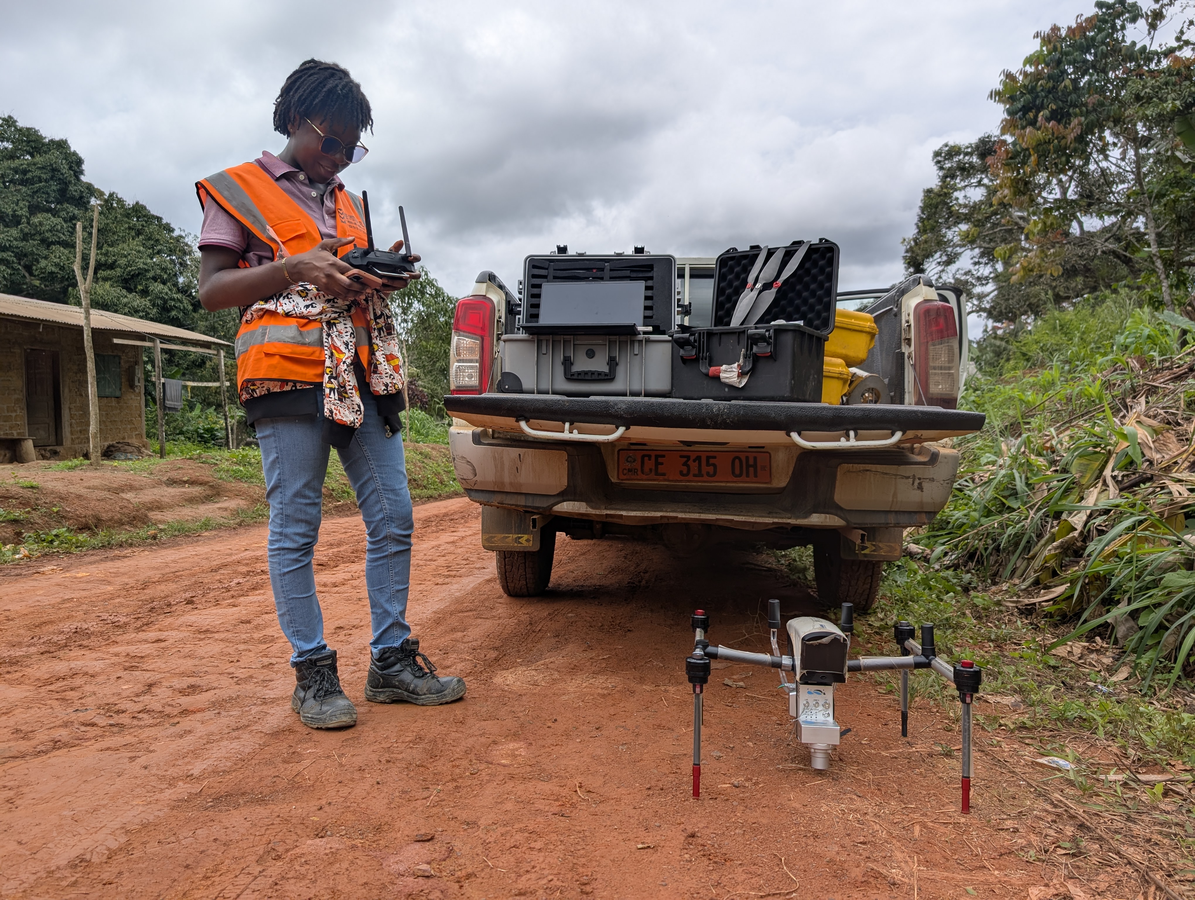
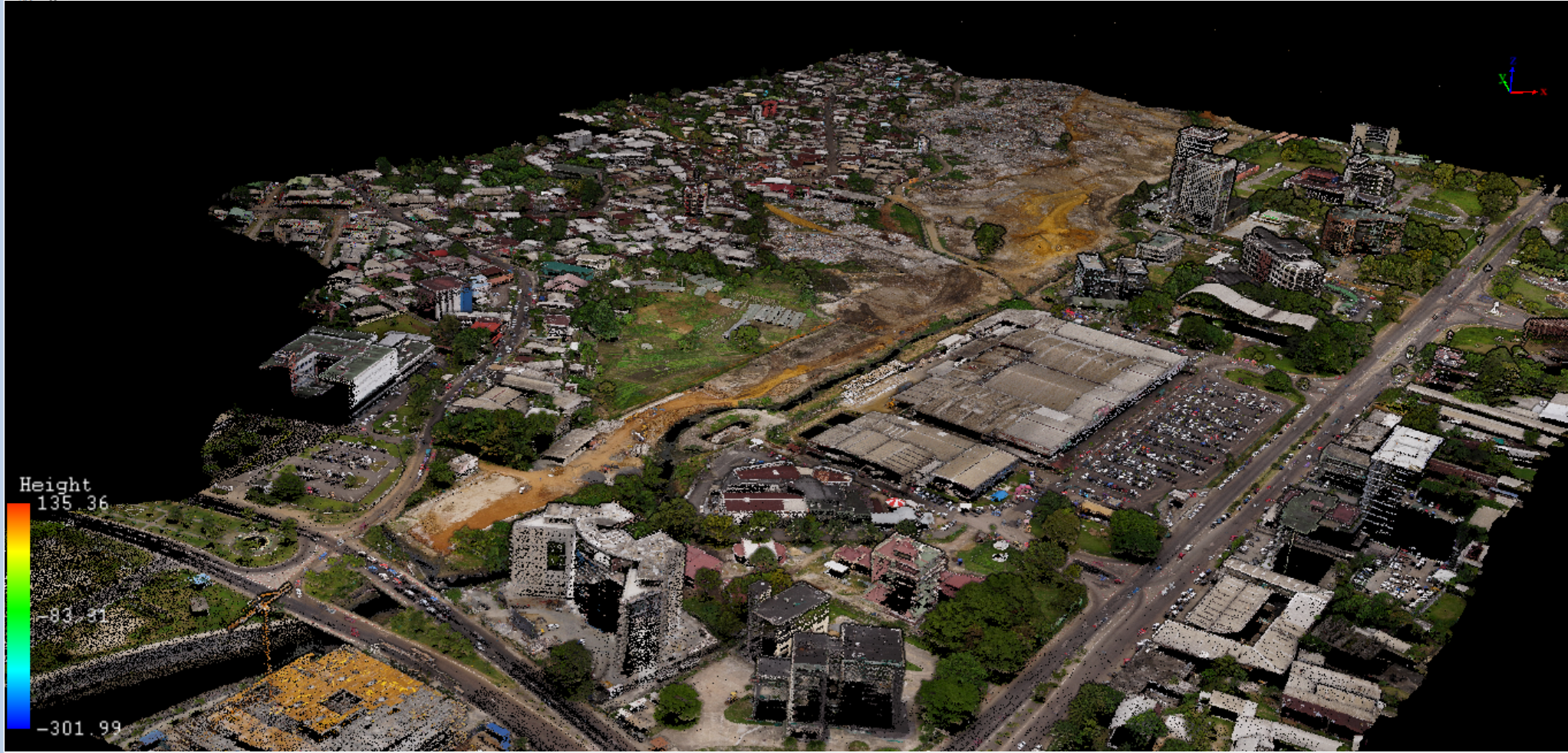
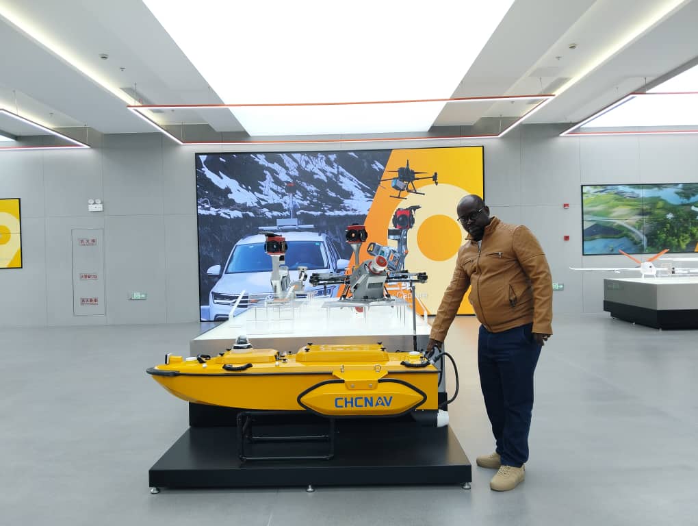
GeoX leads Africa’s geospatial revolution. Expert in LiDAR, Photogrammetry, and GIS, our engineers turn complex data into high-precision strategic insights. From 3D modeling to topography, we don't just map the world—we engineer the data building its future. When precision meets vision.
Precision & Reliability
Rigorously controlled data to ensure actionable results with confidence.Innovation
Use of the latest technologies to optimize data collection and analysis.Customer service
Tailor-made support, from the study phase to design, including the integration of data into client systems.


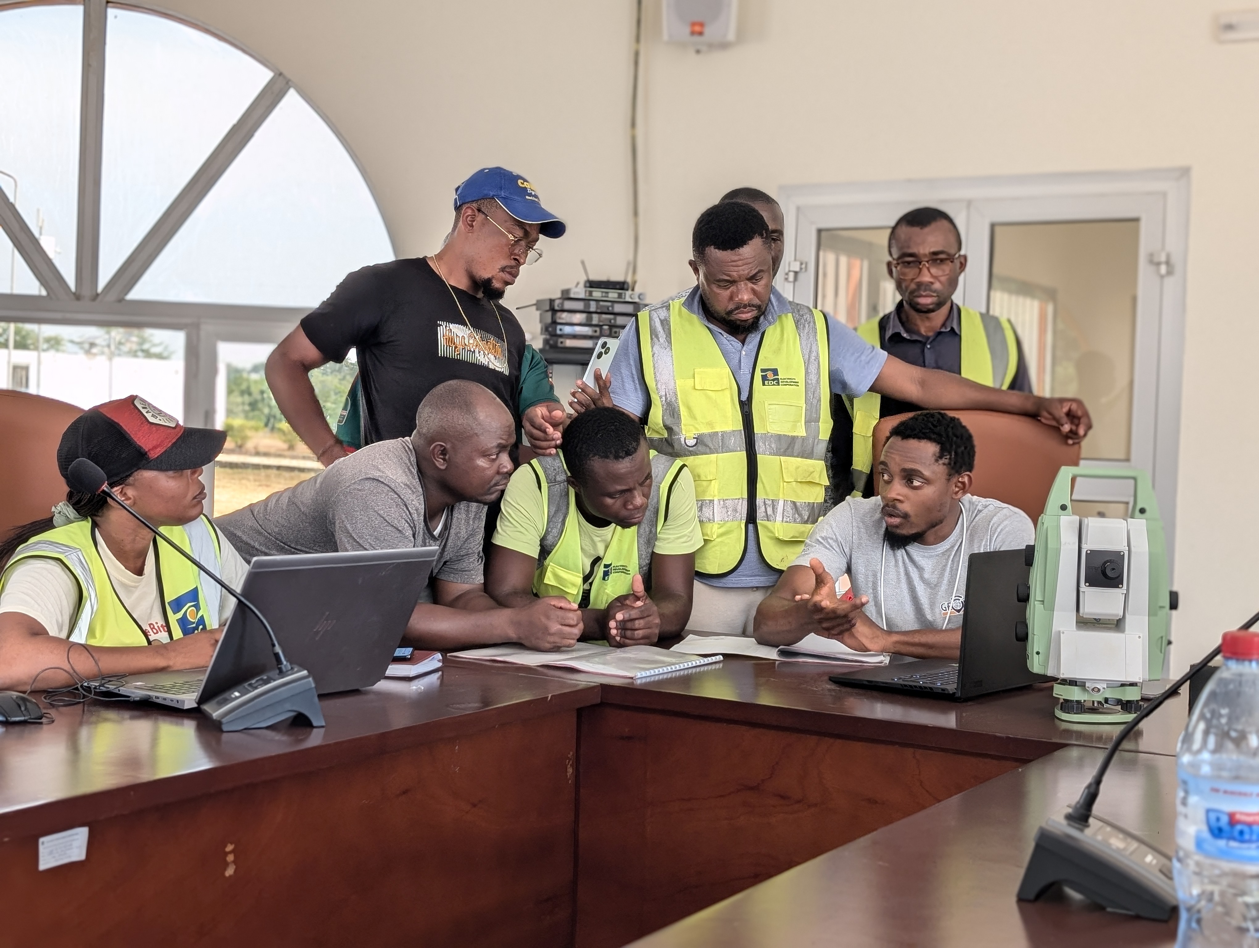
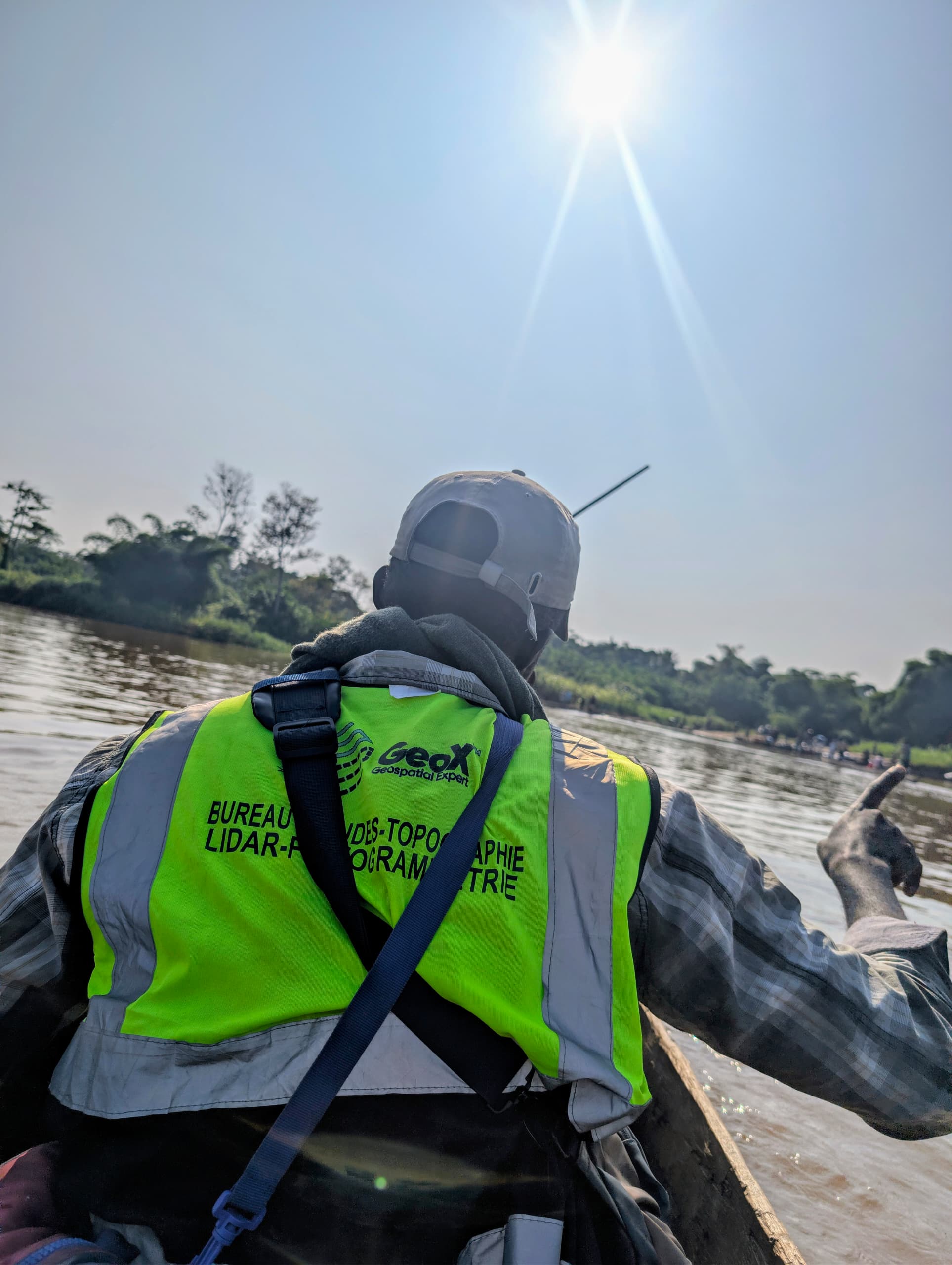
Mapping Our Journey
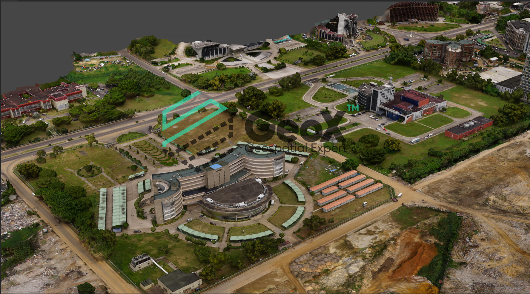
GeoX is a powerful platform that provides access to a wide range of geospatial data and tools. Whether you're a researcher, developer, or business professional, GeoX has the resources you need to make informed decisions and drive innovation.
Journeys We Guide
GeoX is a powerful platform that provides access to a wide range of geospatial data and tools. Whether you're a researcher, developer, or business professional, GeoX has the resources you need to make informed decisions and drive innovation.
Our Impactful Achievements
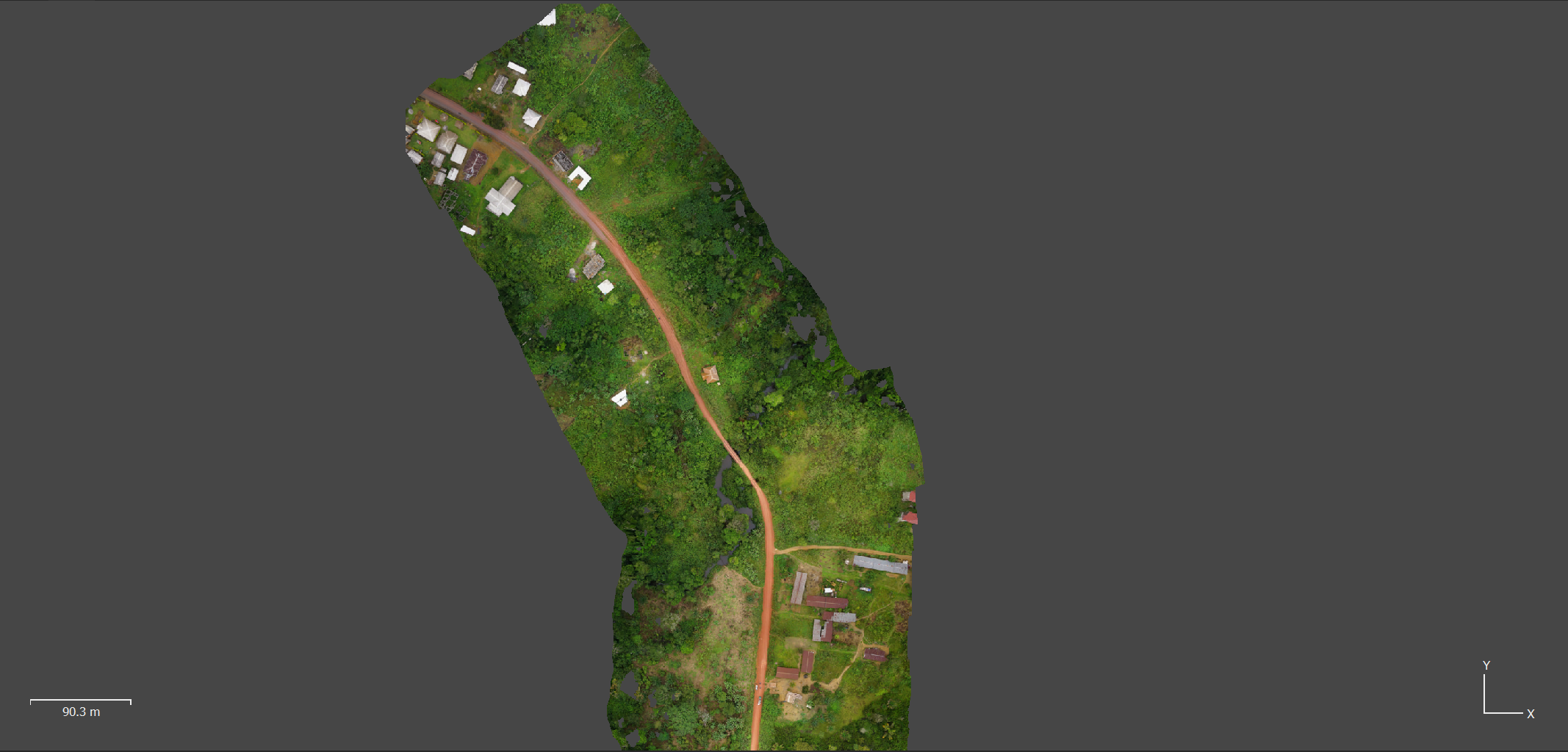
Explore the transformative projects we've brought to life, leveraging cutting-edge geospatial technologies to drive real-world change. From precision mapping to data-driven insights, each initiative reflects our commitment to innovation and excellence in spatial analysis.
TESSANG FARMING PROJECT
Photogrammetric surveying of 600Ha surface Client : PRIVATE Financing : PRIVATE
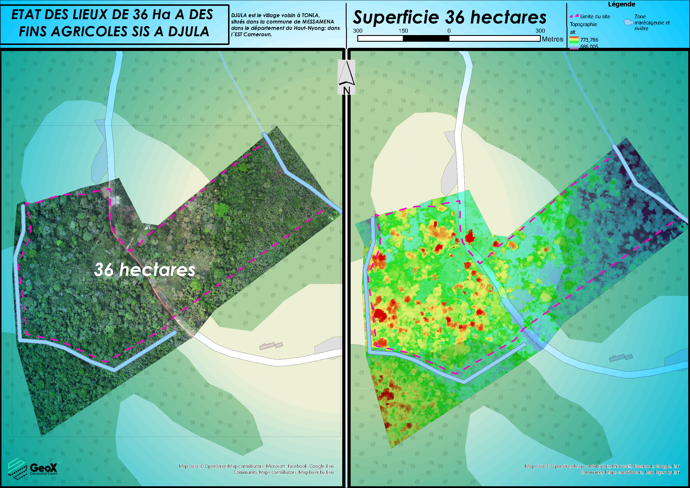
CADASTRAL DELINEATION OF LAND
PHOTOGRAMMETRIC STUDIES OF 300Ha SURFACE
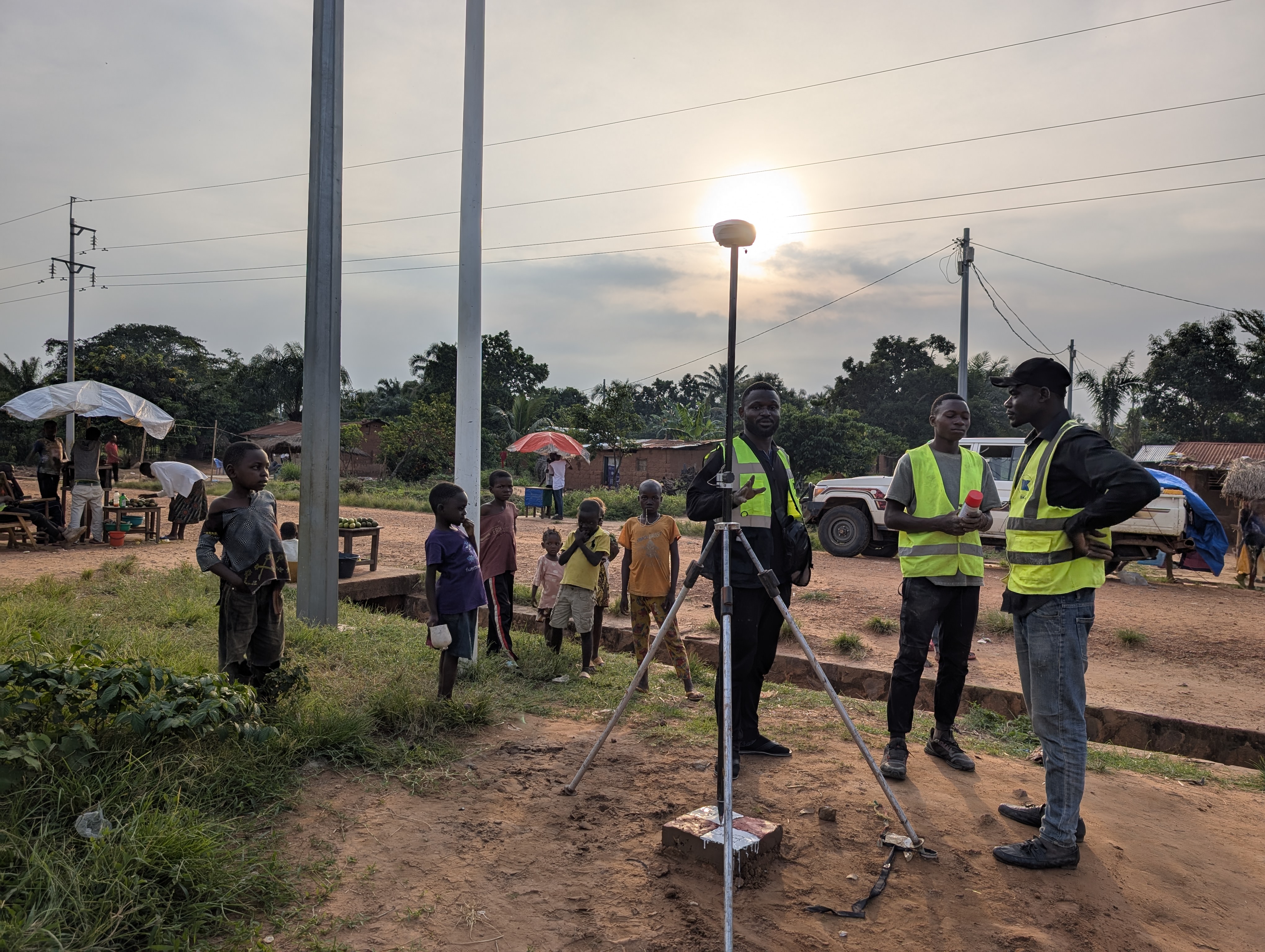
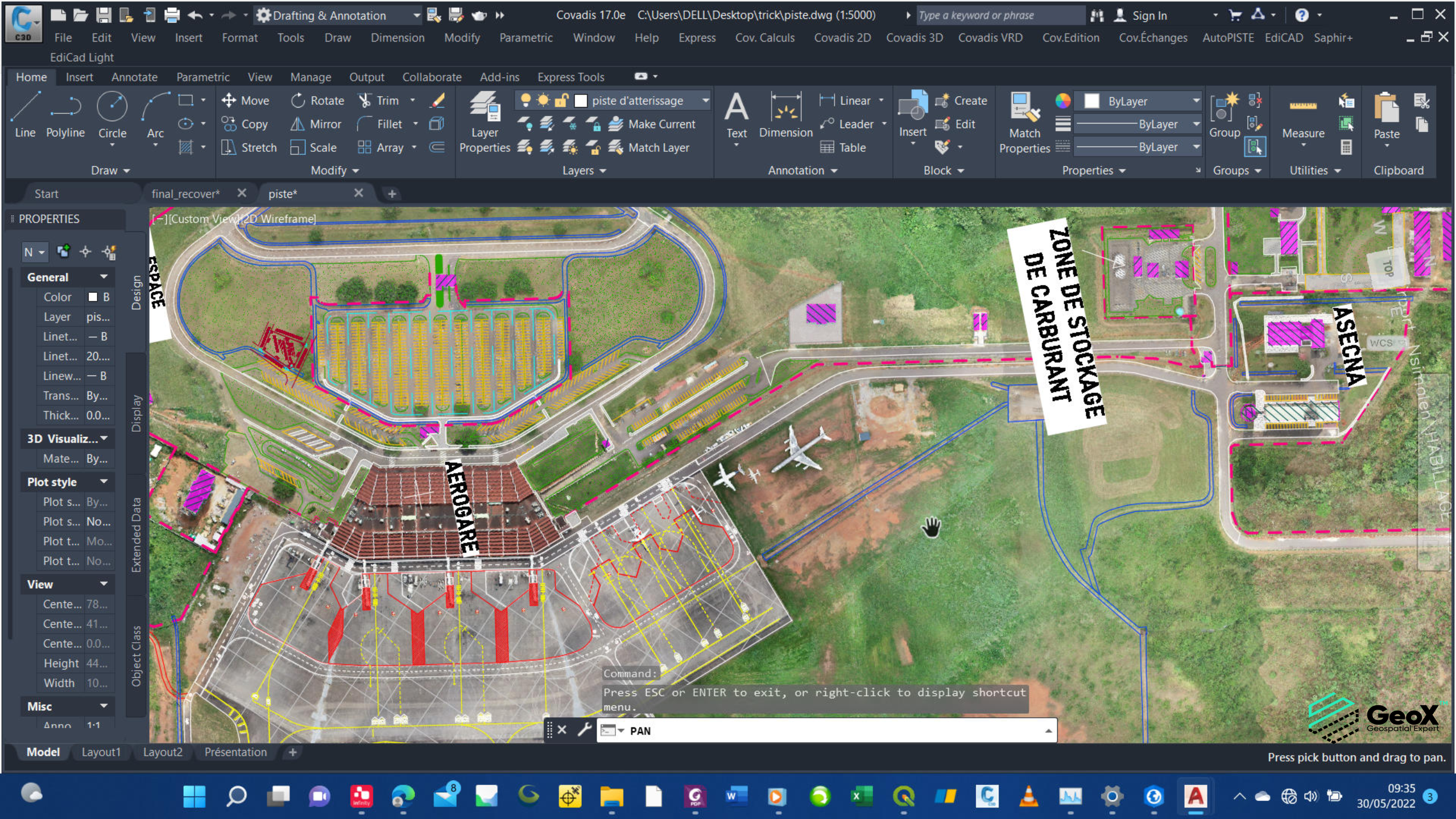
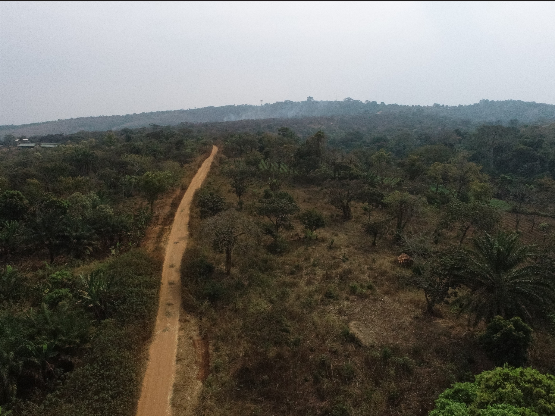
CONSTRUCTION KANANGA - TSHIBULU´s ROAD
LiDAR AND PHOTOGRAMMETRIC STUDIES OF 175 KM ROAD Client: BKA Financing : • BKA
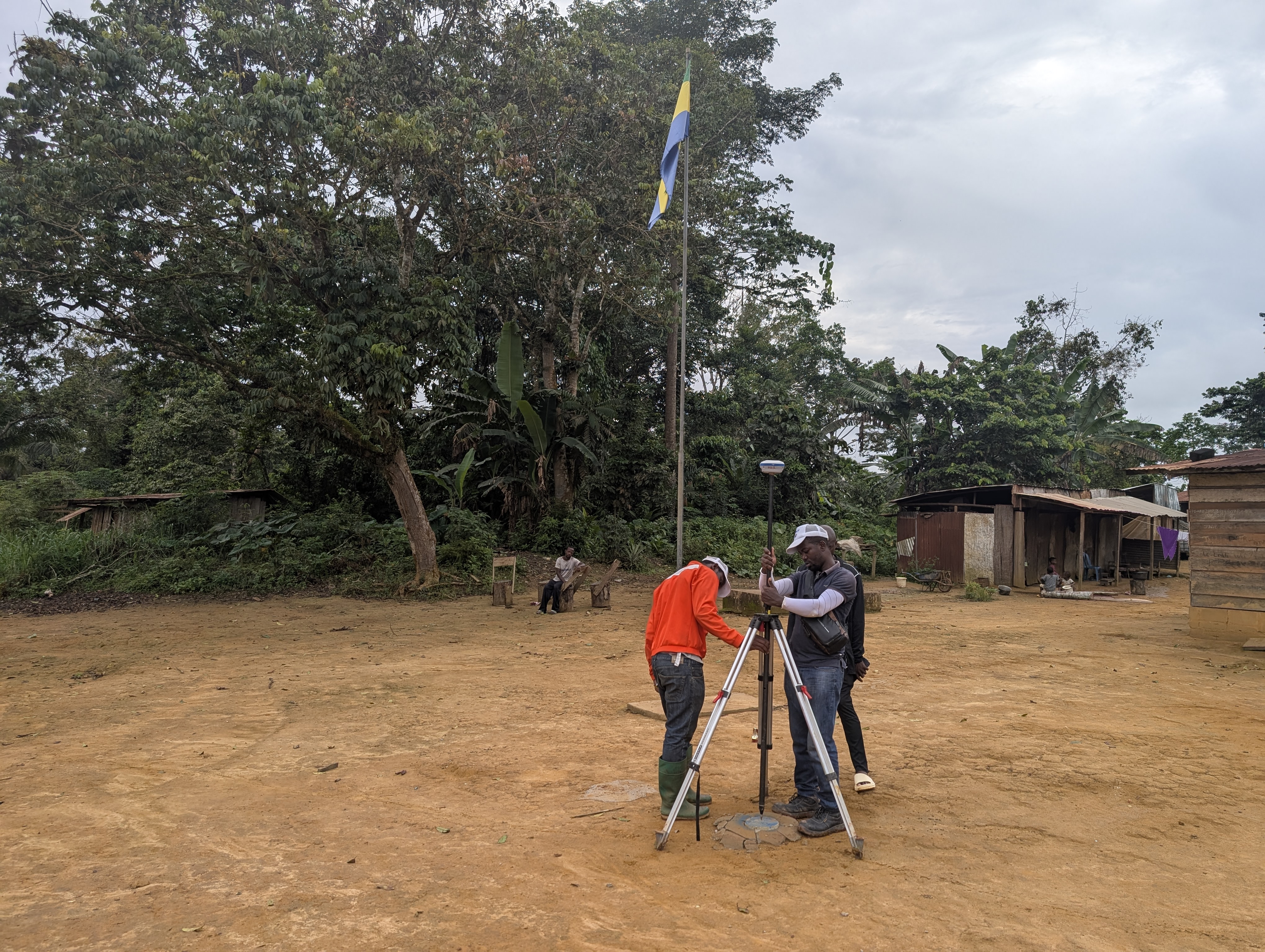
CONSTRUCTION MAKOKOU – OKONDJA´s ROAD
LiDAR AND PHOTOGRAMMETRIC STUDIES OF 260 KM Client: EECSG Financing : • SAGBA BTP
CONSTRUCTION ALEMBE – MIKOUYI´s ROAD
PHOTOGRAMMETRIC STUDIES OF 306 KM ROAD Client: EECSG Financing : • PORTEO BTP