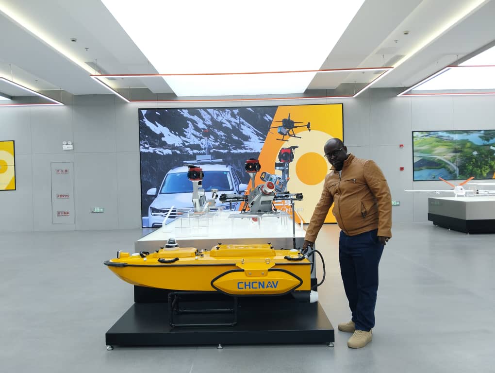

Geospatial Expert - Bringing reality to you.
GeoX leads Africa’s geospatial revolution. Expert in LiDAR, Photogrammetry, and GIS, our engineers turn complex data into high-precision strategic insights. From 3D modeling to topography, we don't just map the world—we engineer the data building its future. When precision meets vision.
Precision & Reliability
Innovation
Customer service
 Featured
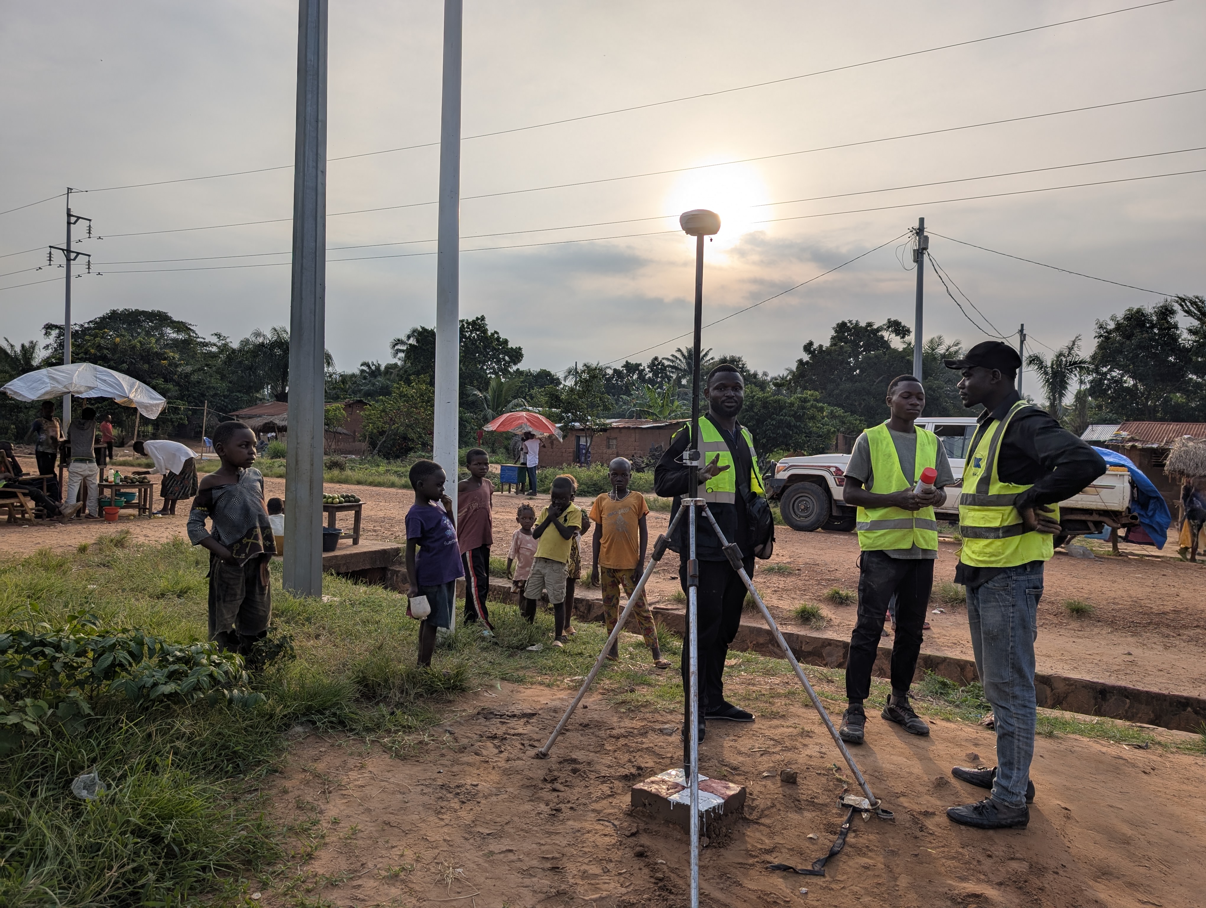
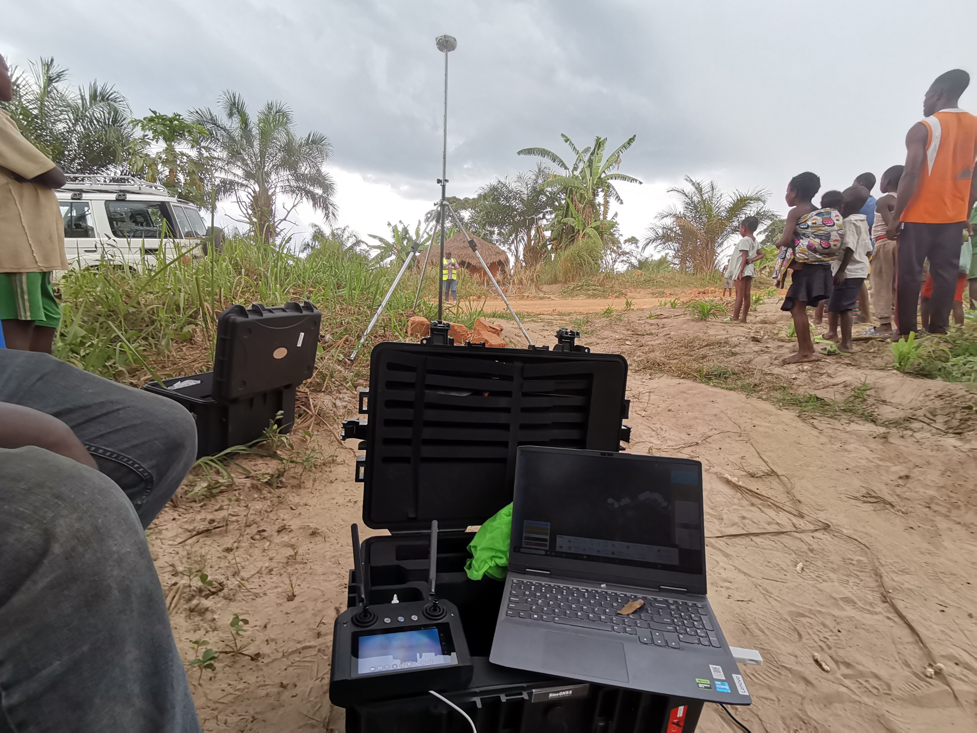
KAMWANGA - TSIKULA ROAD CONSTRUCTION PROJECT
Featured
KAMWANGA - TSIKULA ROAD CONSTRUCTION PROJECT
KAMWANGA - TSIKULA ROAD CONSTRUCTION PROJECT
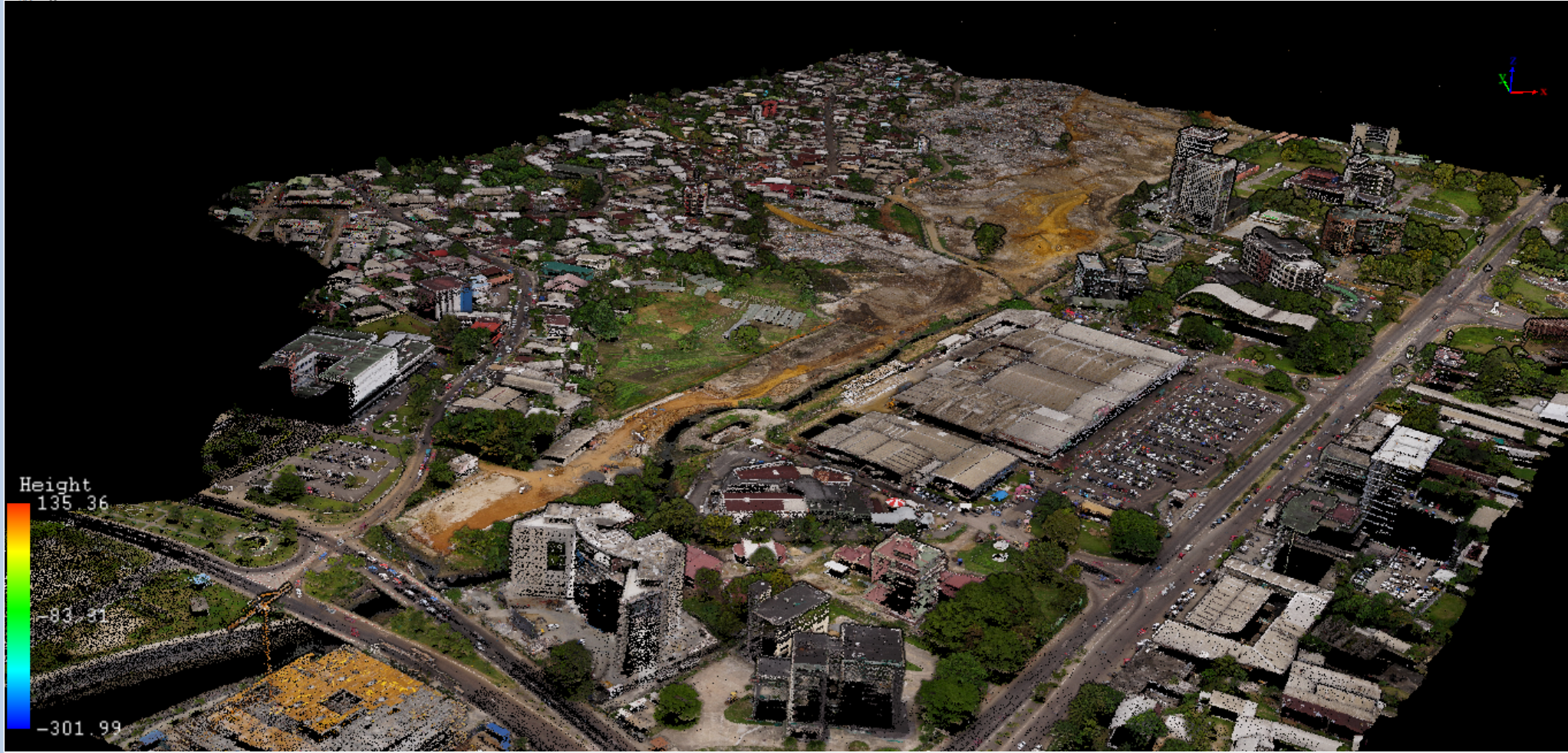
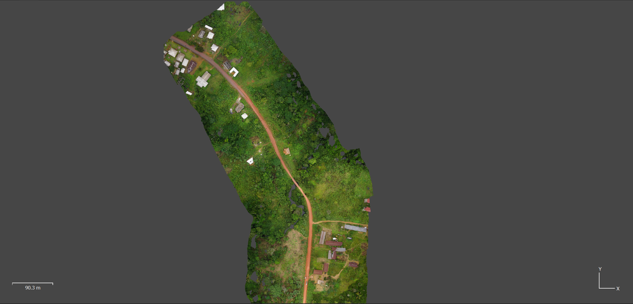
LiDAR, photogrammetric surveying Client: BKA Financing : BKA
Trusted by teams across Central Africa




Mapping Our Journey
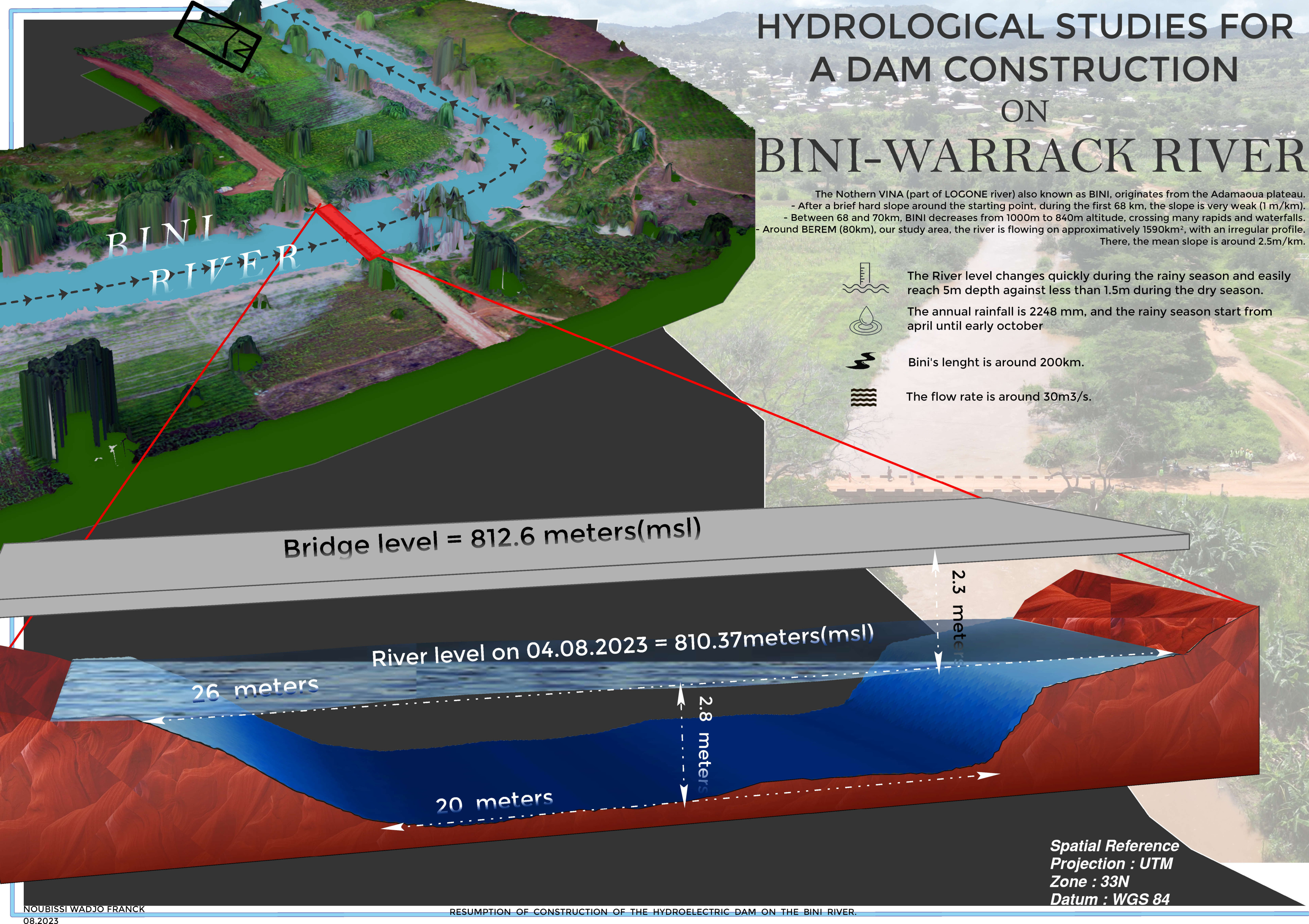
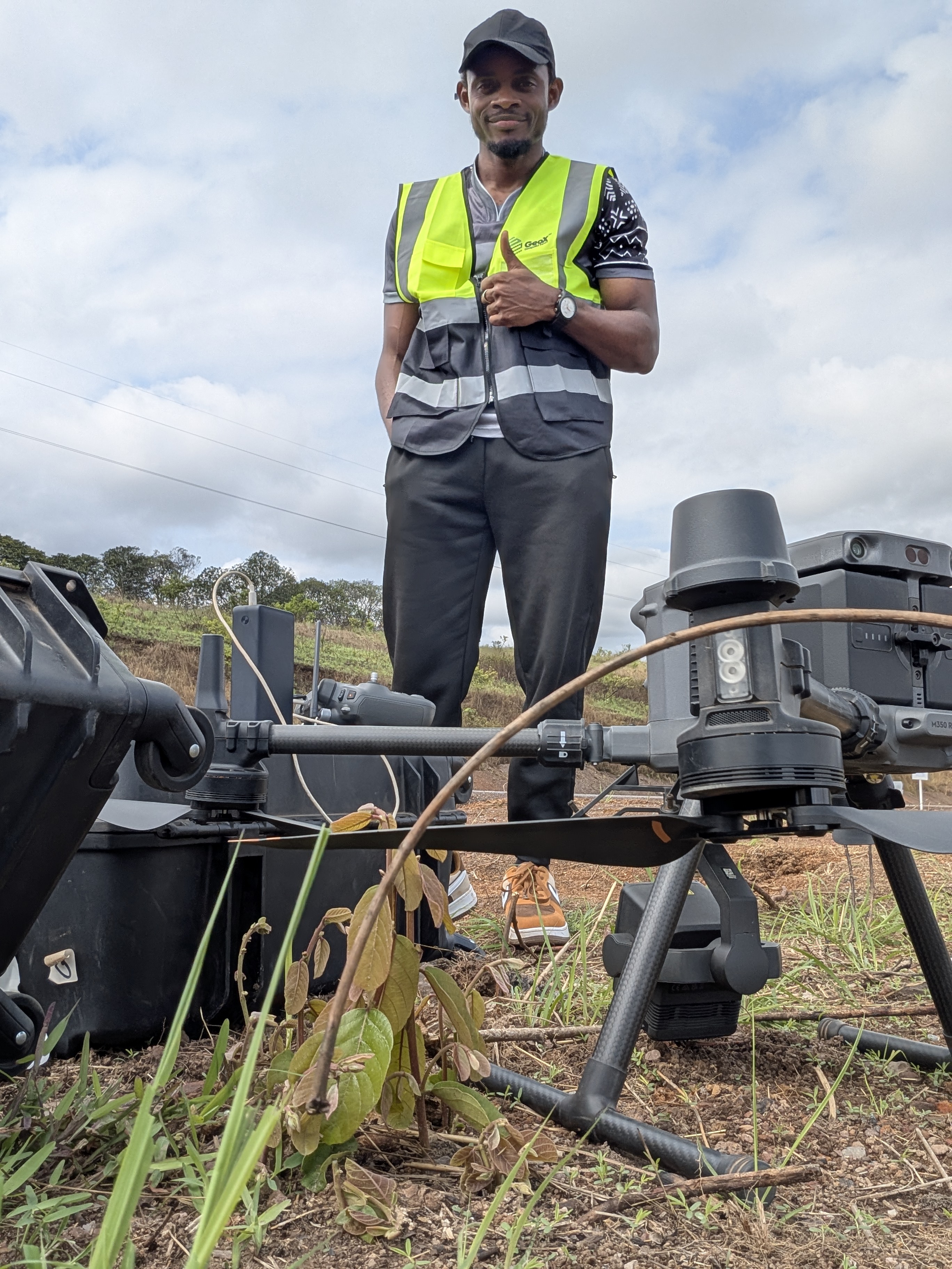
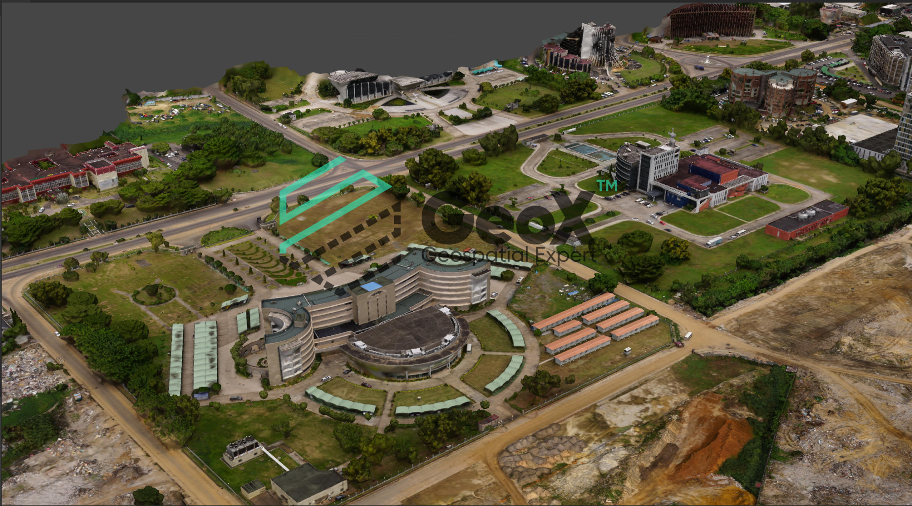
GeoX is a key geospatial player in Central Africa, turning field data into decisions. Our engineers combine LiDAR, photogrammetry, GNSS and GIS to deliver high-precision topographic surveys, 3D modeling and analytical mapping for infrastructure, land and environmental projects across the region.
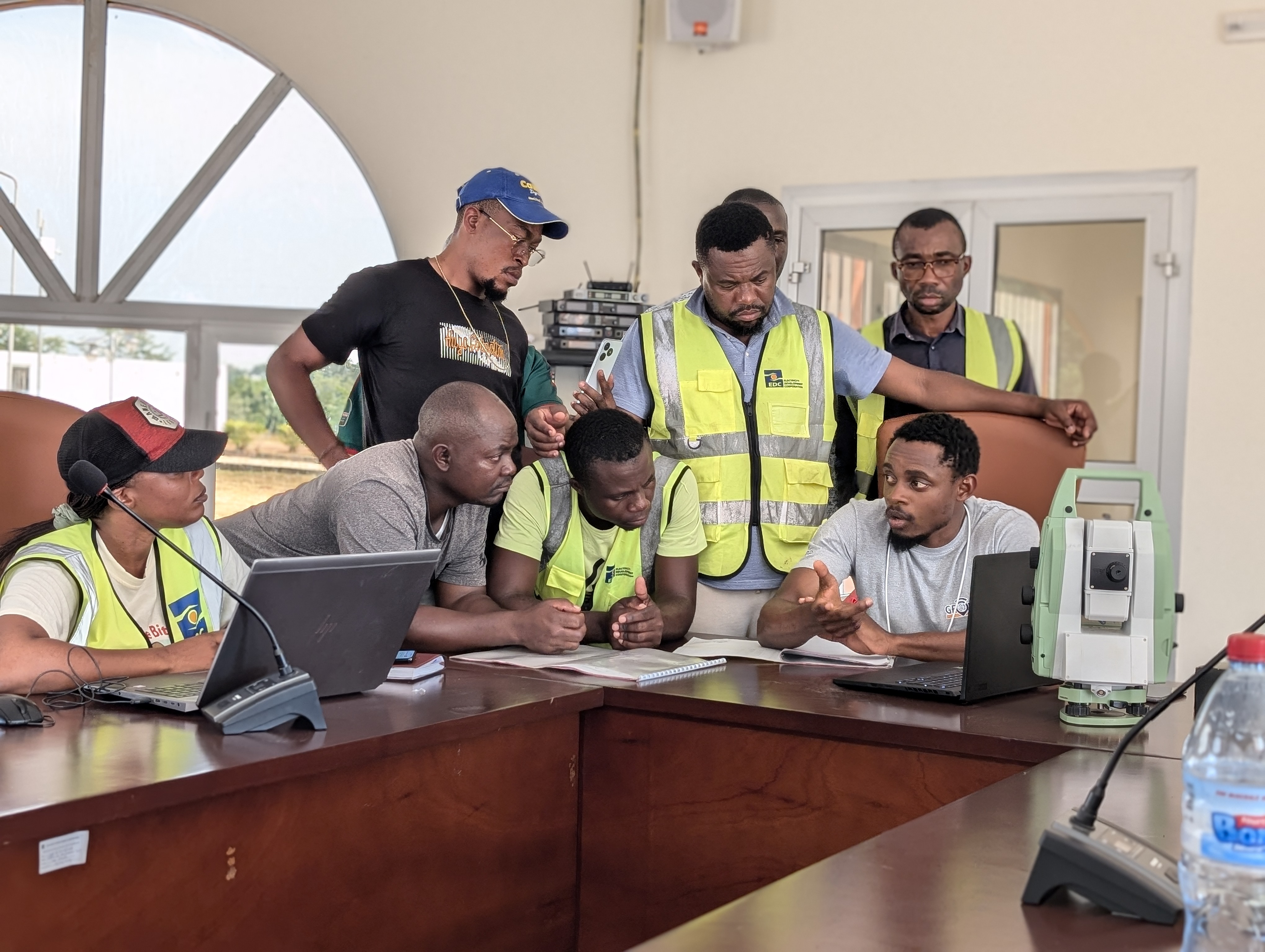
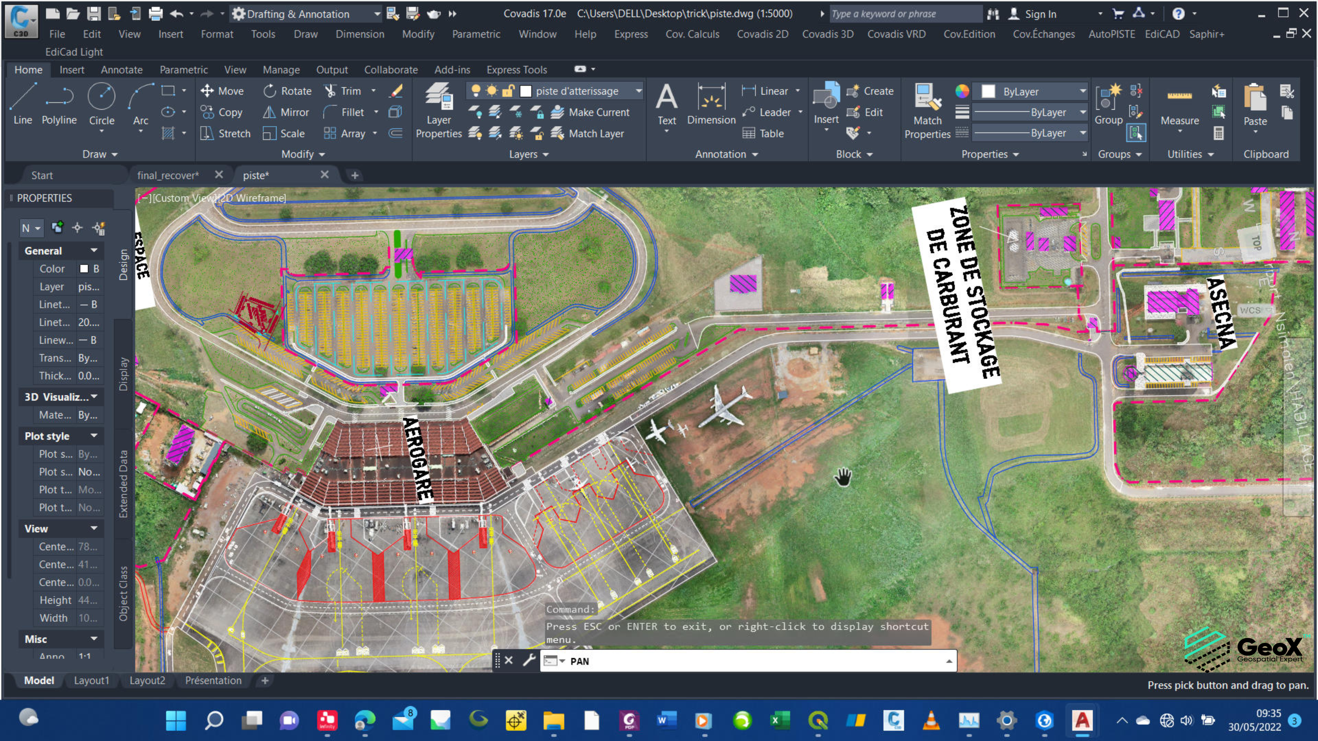
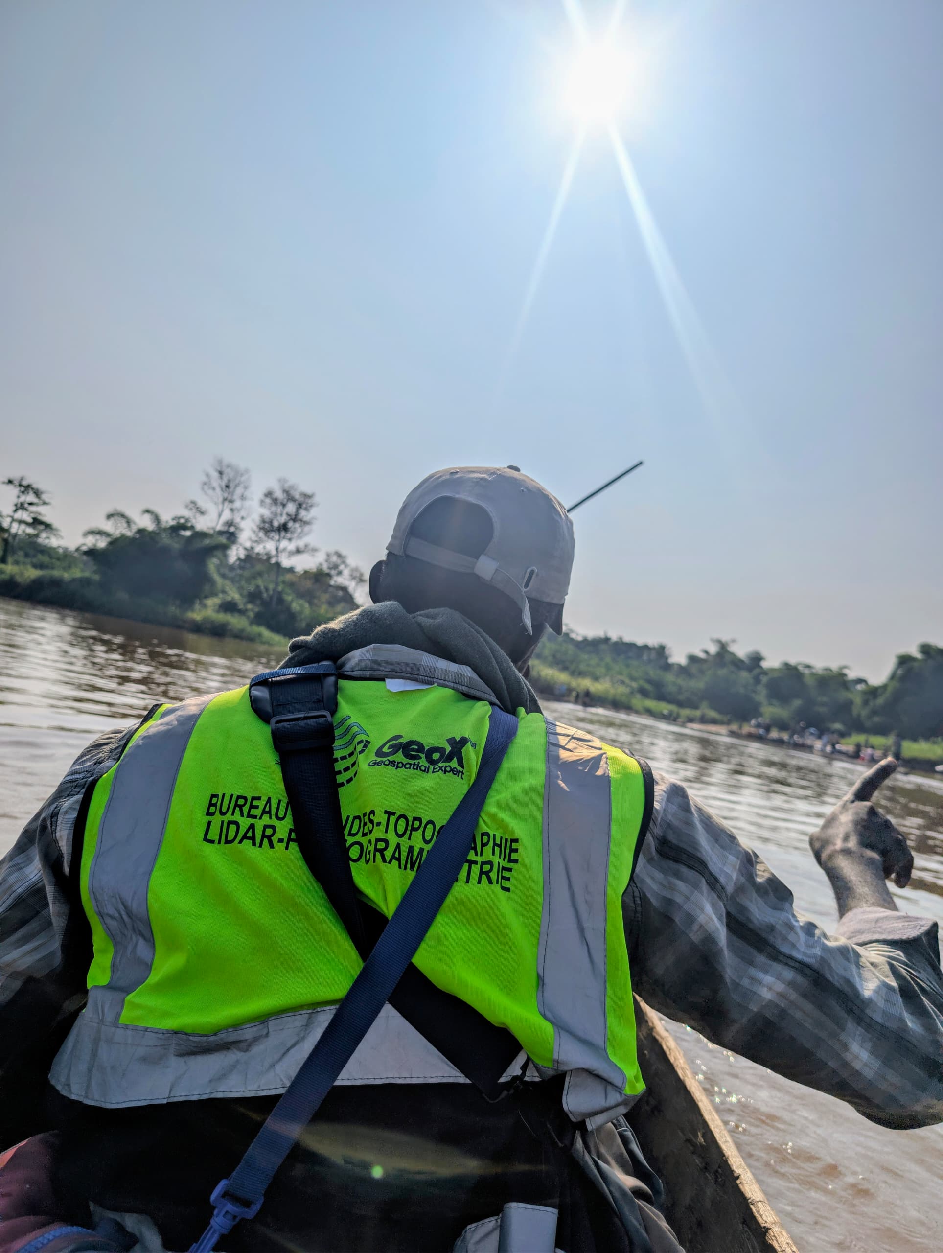
How We Work
One integrated workflow, applied across every domain we serve — survey teams, processing pipelines and delivery formats stay the same; only the terrain and the client's questions change.

One connected process
Every domain below runs through the same field-to-delivery pipeline.
Journeys We Guide
We bridge the gap between the field and your decisions. Specialists in reality capture through LiDAR and photogrammetry, we turn environments into precise digital data — from topographic surveys to infrastructure inspection and 3D modeling. Bringing reality to you.
Our Impactful Achievements
Explore the transformative projects we've brought to life, leveraging cutting-edge geospatial technologies to drive real-world change. From precision mapping to data-driven insights, each initiative reflects our commitment to innovation and excellence in spatial analysis.
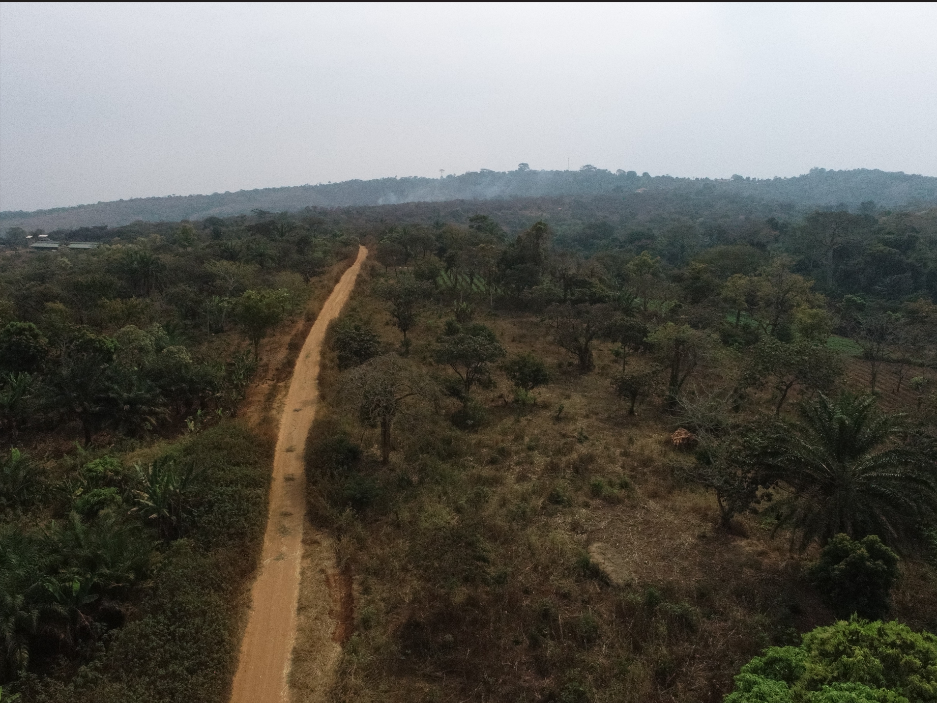
CADASTRAL DELINEATION OF LAND
PHOTOGRAMMETRIC STUDIES OF 300Ha SURFACE
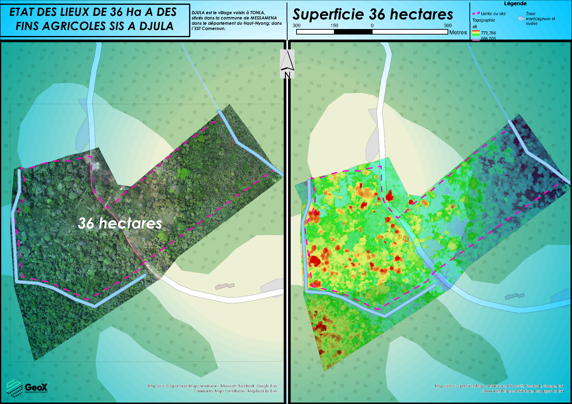
TESSANG FARMING PROJECT
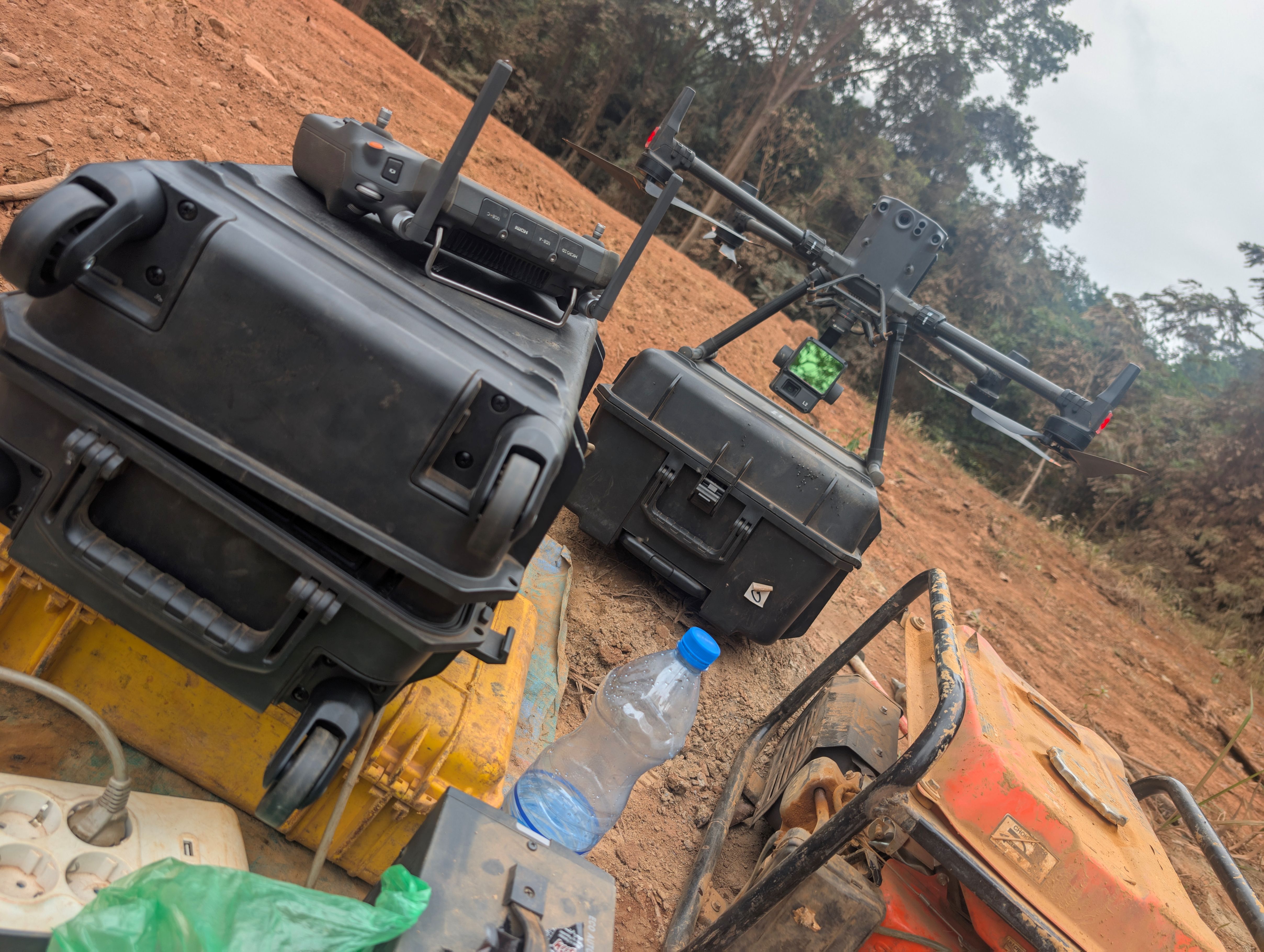
CONSTRUCTION ALEMBE – MIKOUYI´s ROAD
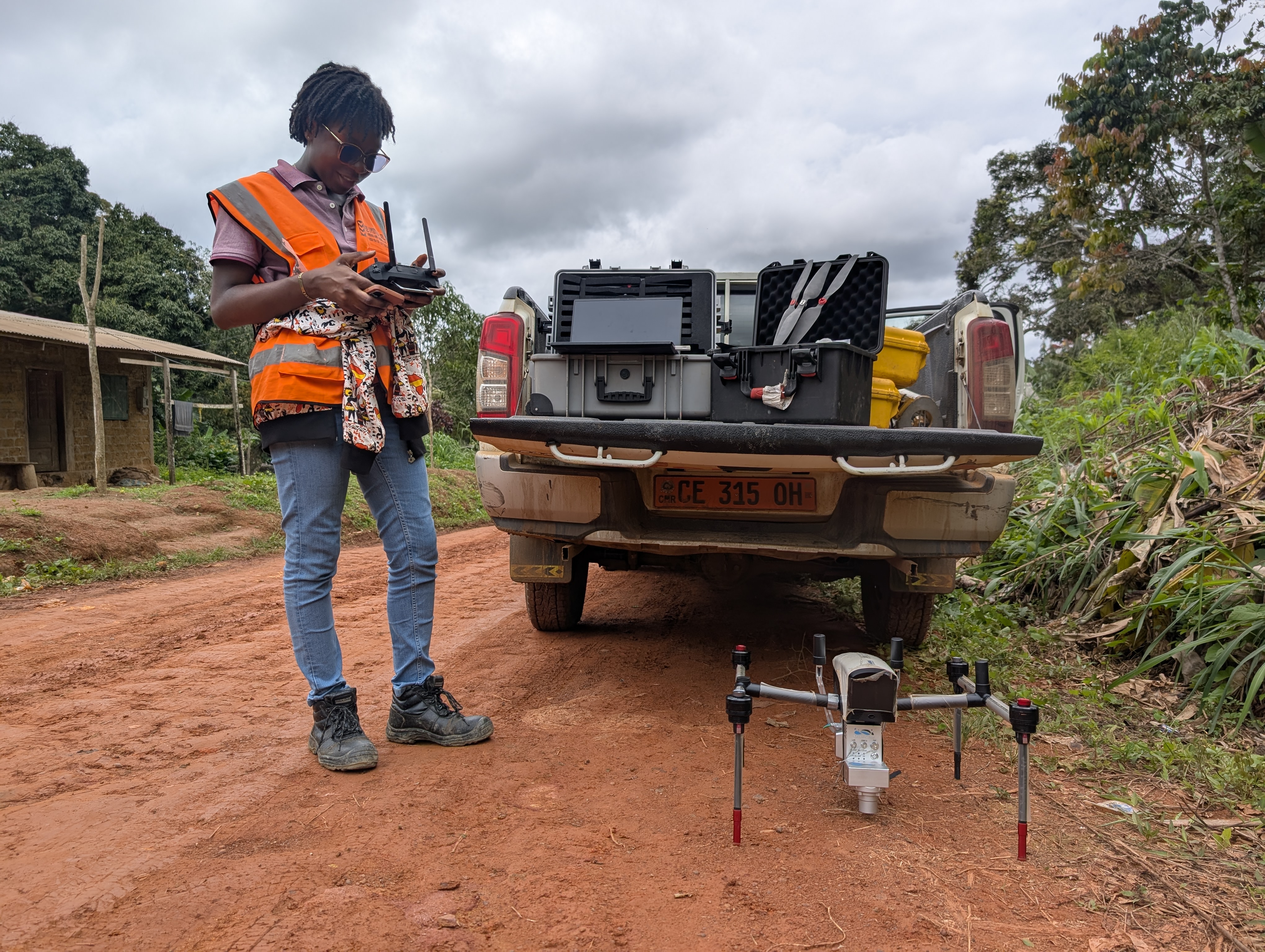
Construction of Mvangan-Ebolowa´s Road