


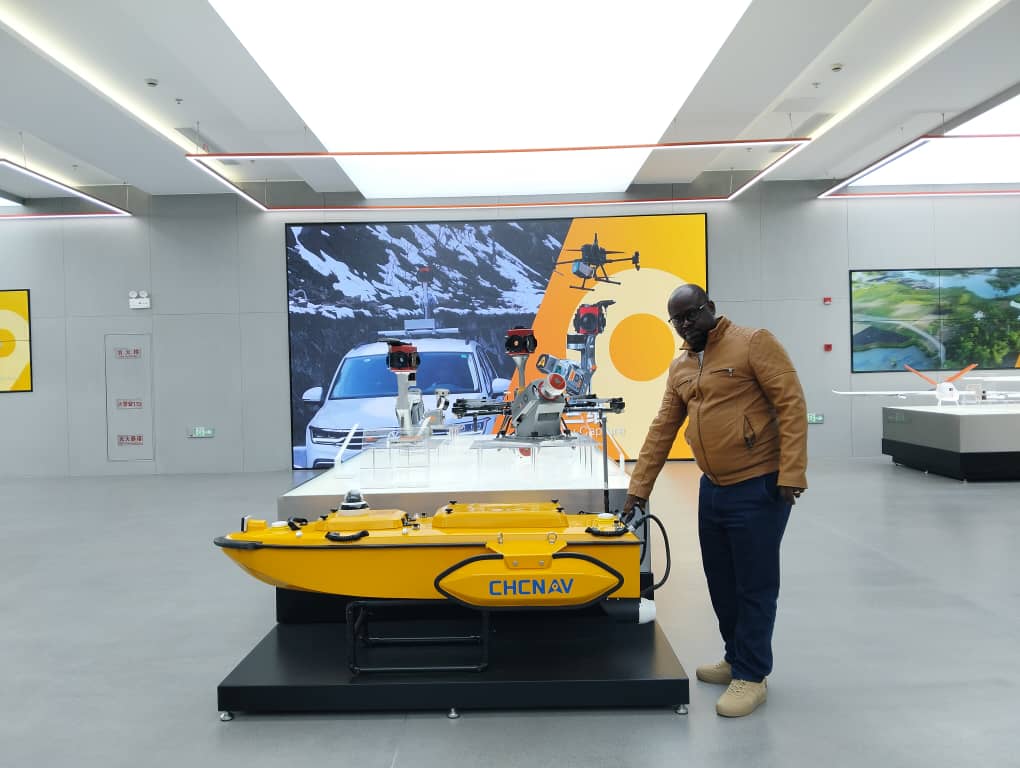
Just as on land and in the air, we deliver high-quality surveying services on water bodies to support underwater topography studies. Thanks to our agile bathymetric drone, capable of operating even in challenging flow conditions, we produce reliable seabed and riverbed data, resulting in high-quality bathymetric maps for technical and environmental studies.
