


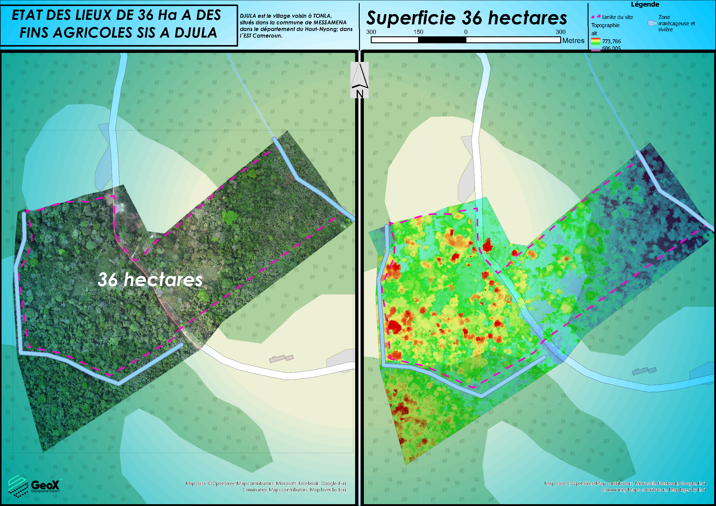
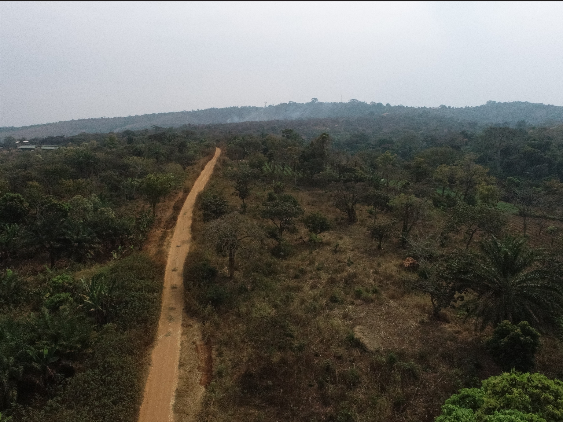
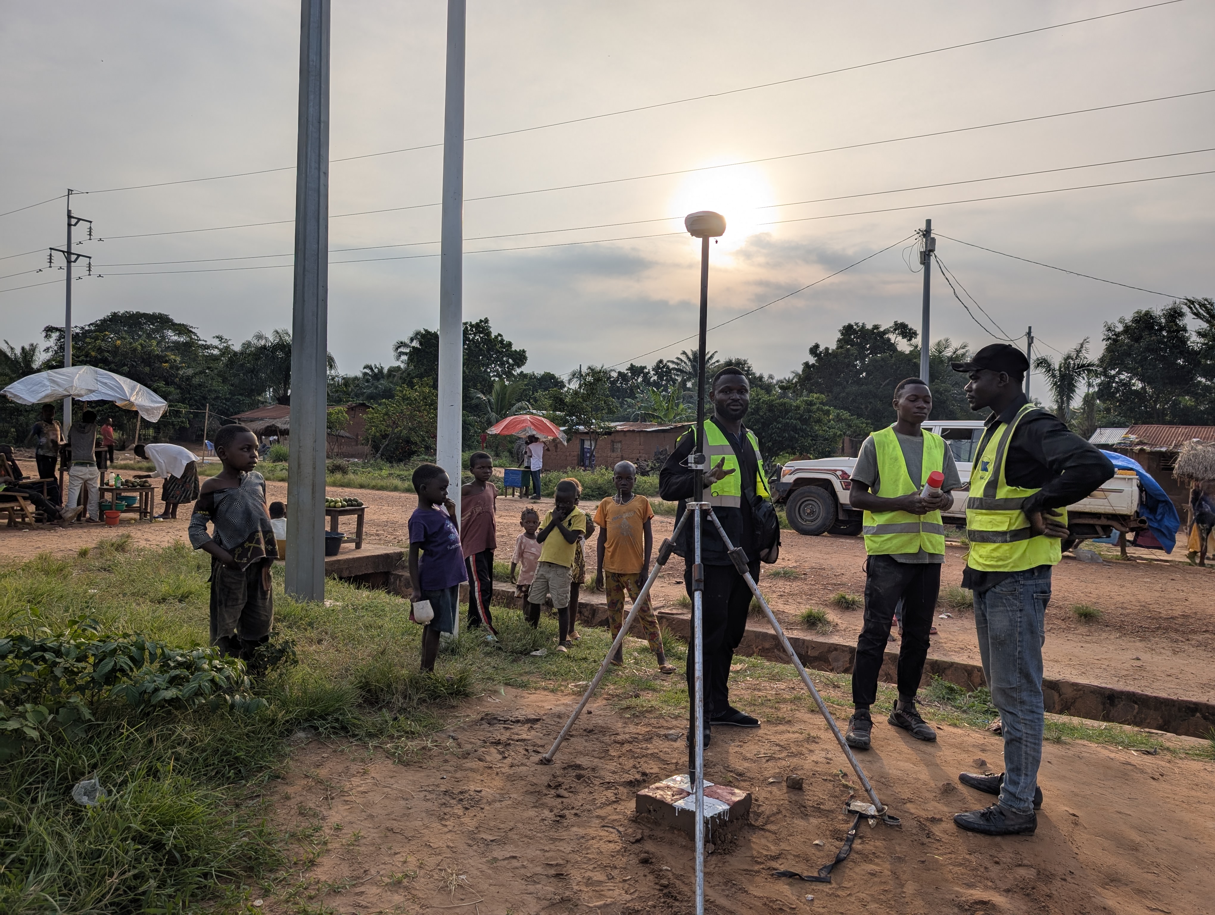
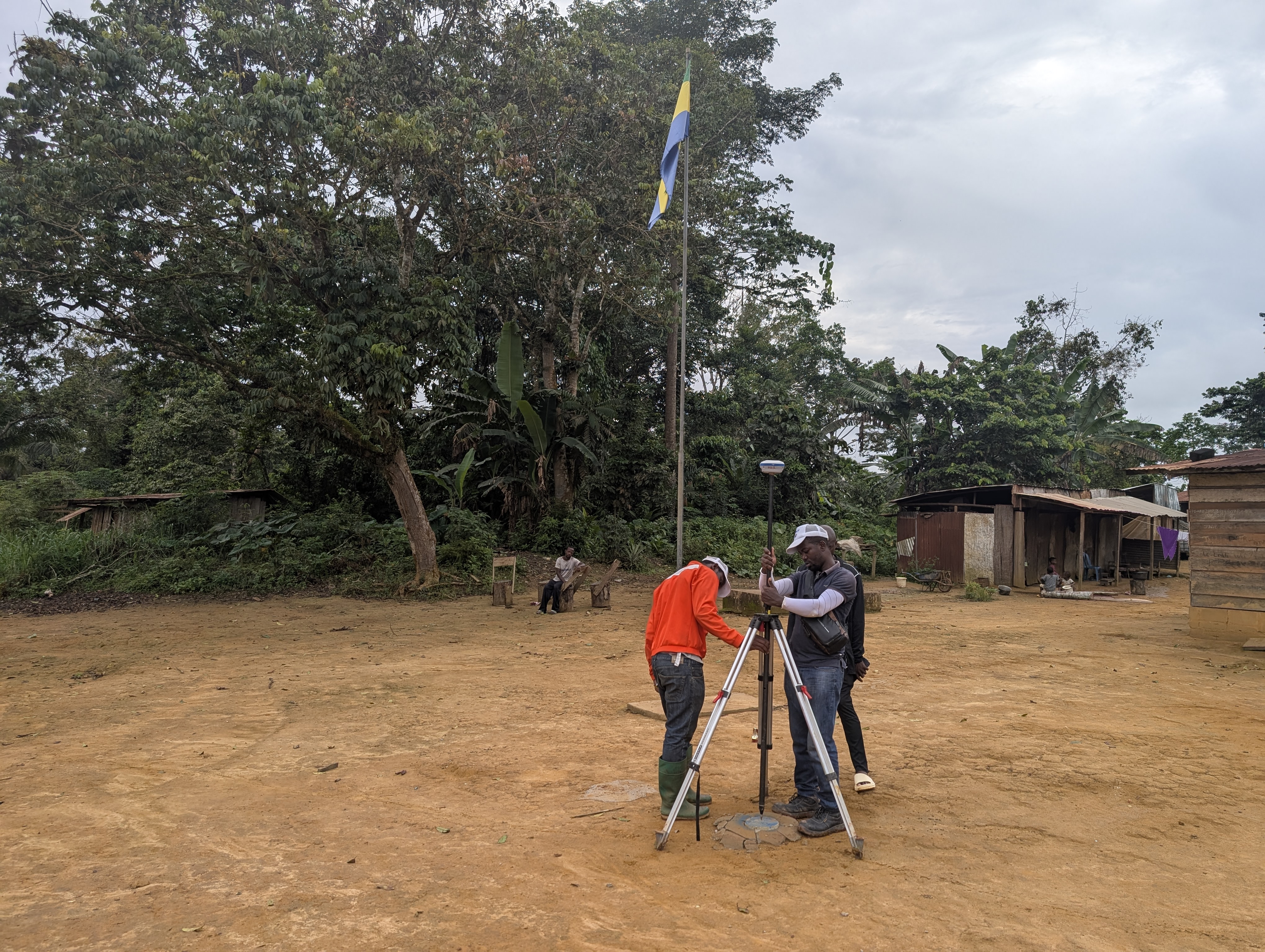
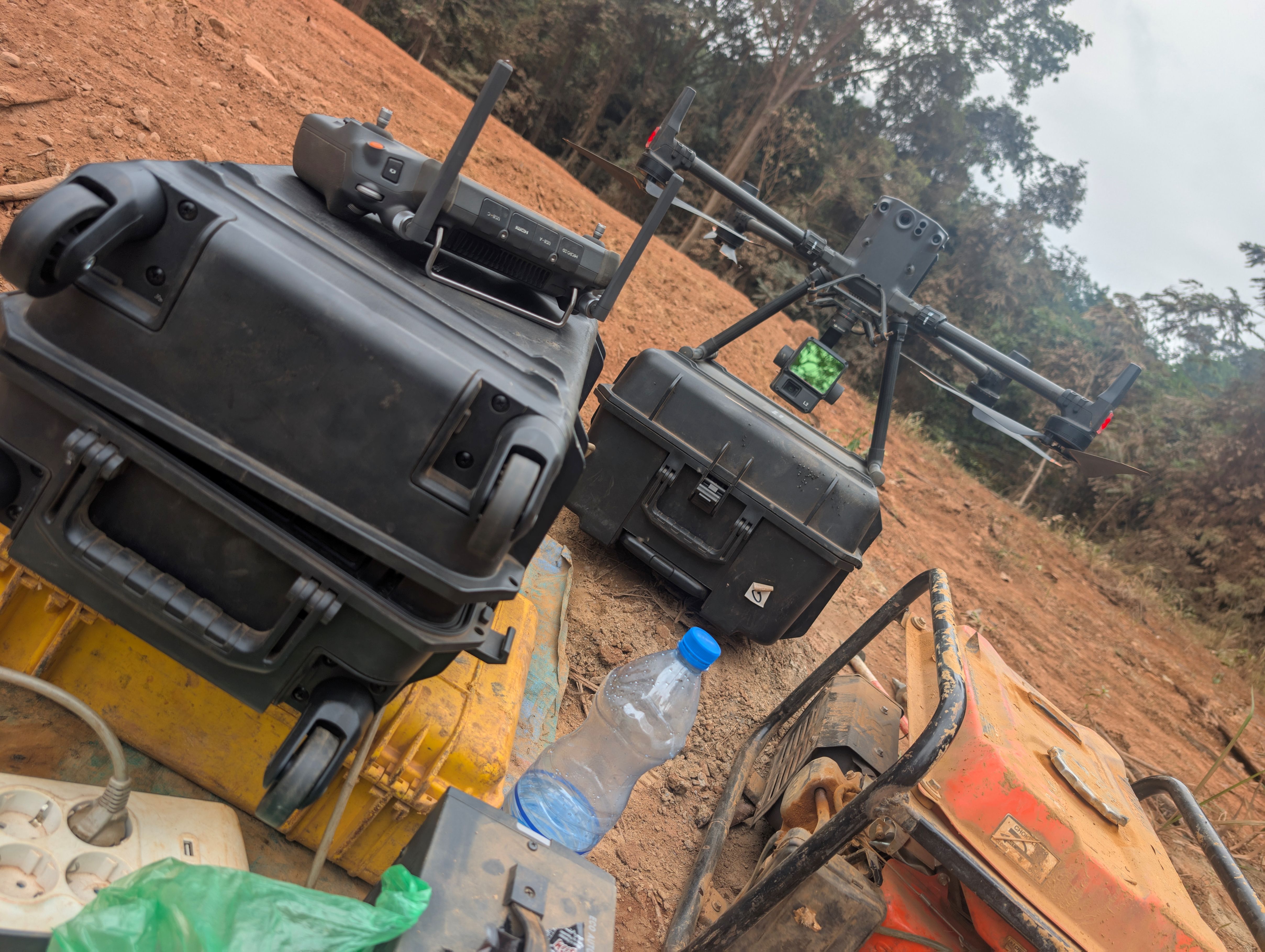
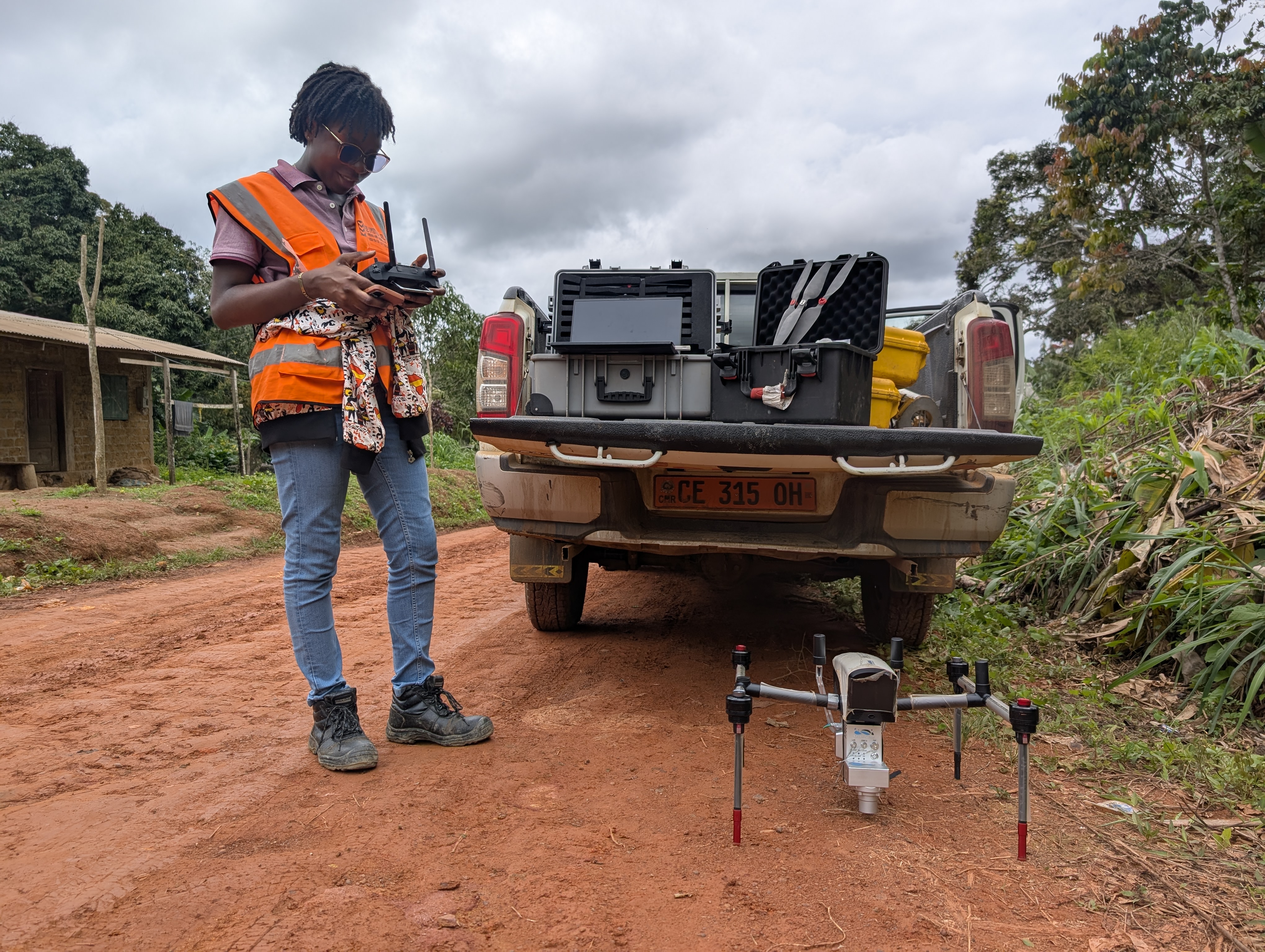

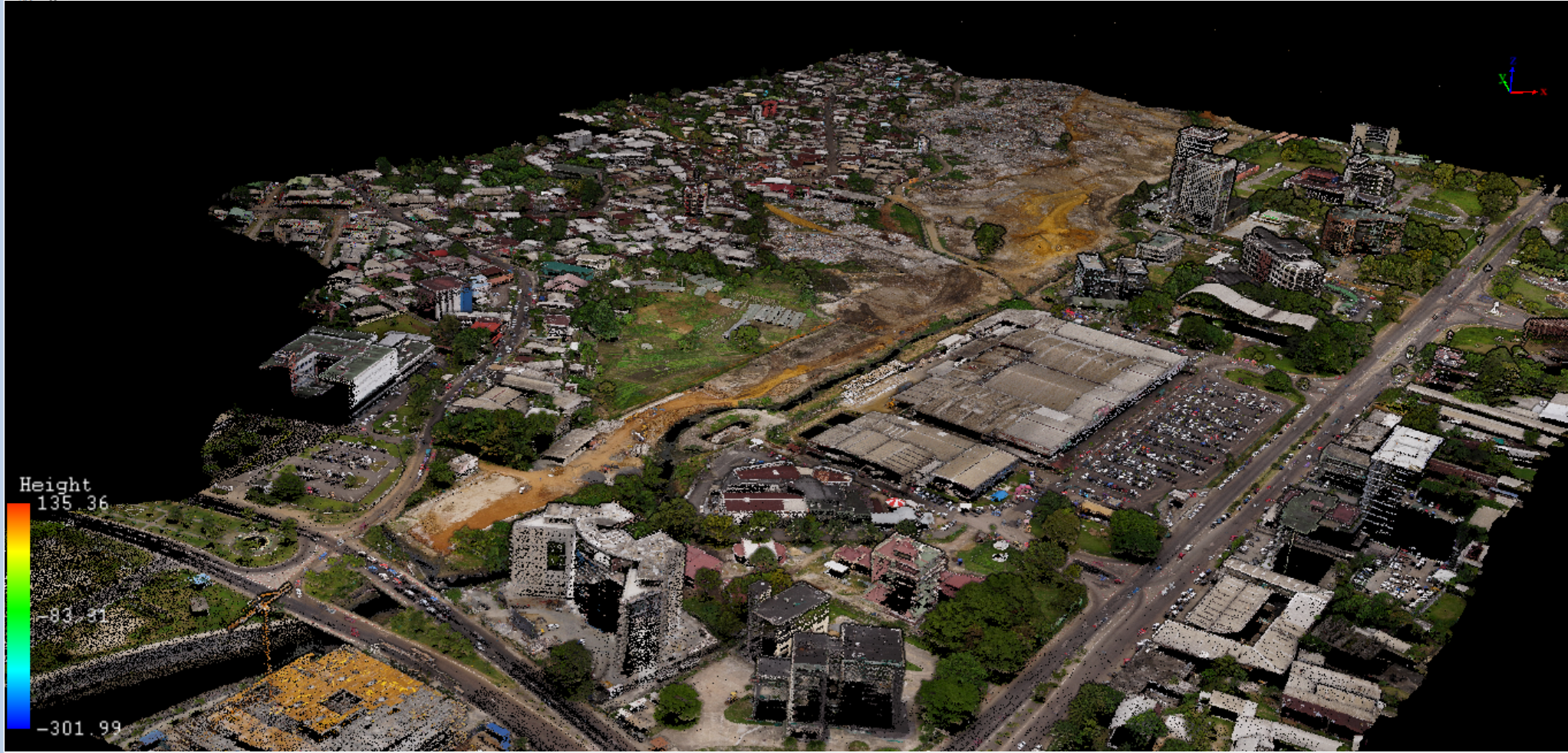
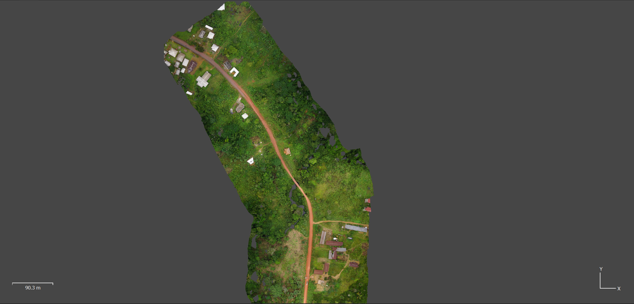

Using drones and high-resolution sensors, we carry out high-accuracy aerial surveys. Photogrammetry, 3D modeling and mapping are interconnected technologies that allow the acquisition and analysis of spatial data. Photogrammetry uses imagery to extract measurements and generate accurate 2D and 3D models for a wide range of applications such as architecture, engineering and mapping. These datasets are then integrated into cartographic products that provide precise and detailed representations, essential for urban planning, land management and natural resource management.

