


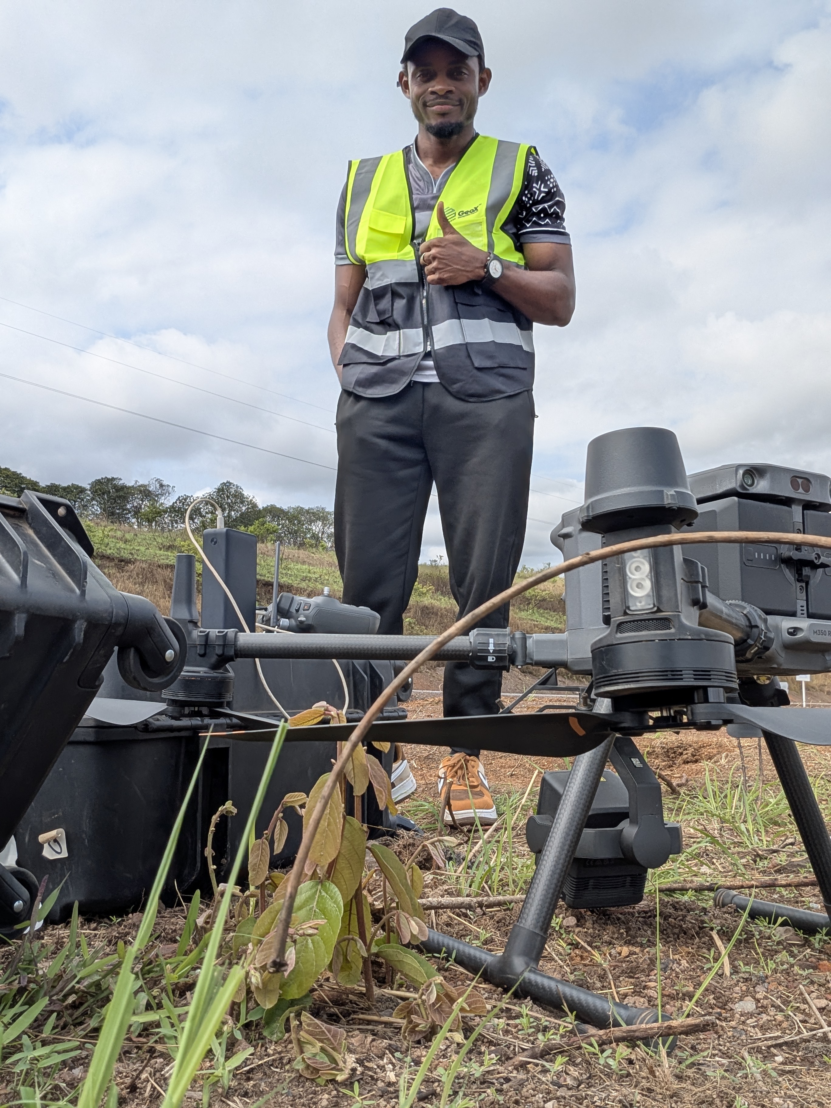
- Name of the project or mission:
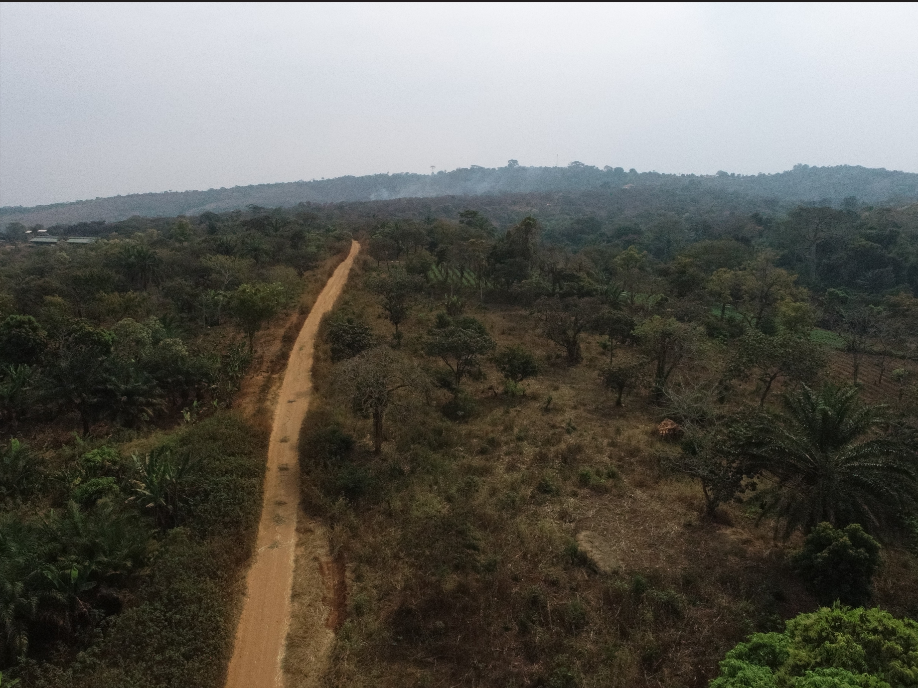
Rehabilitation of Mvengue-Franceville´s road
- Year: October 2025
- Location: Gabon - Franceville
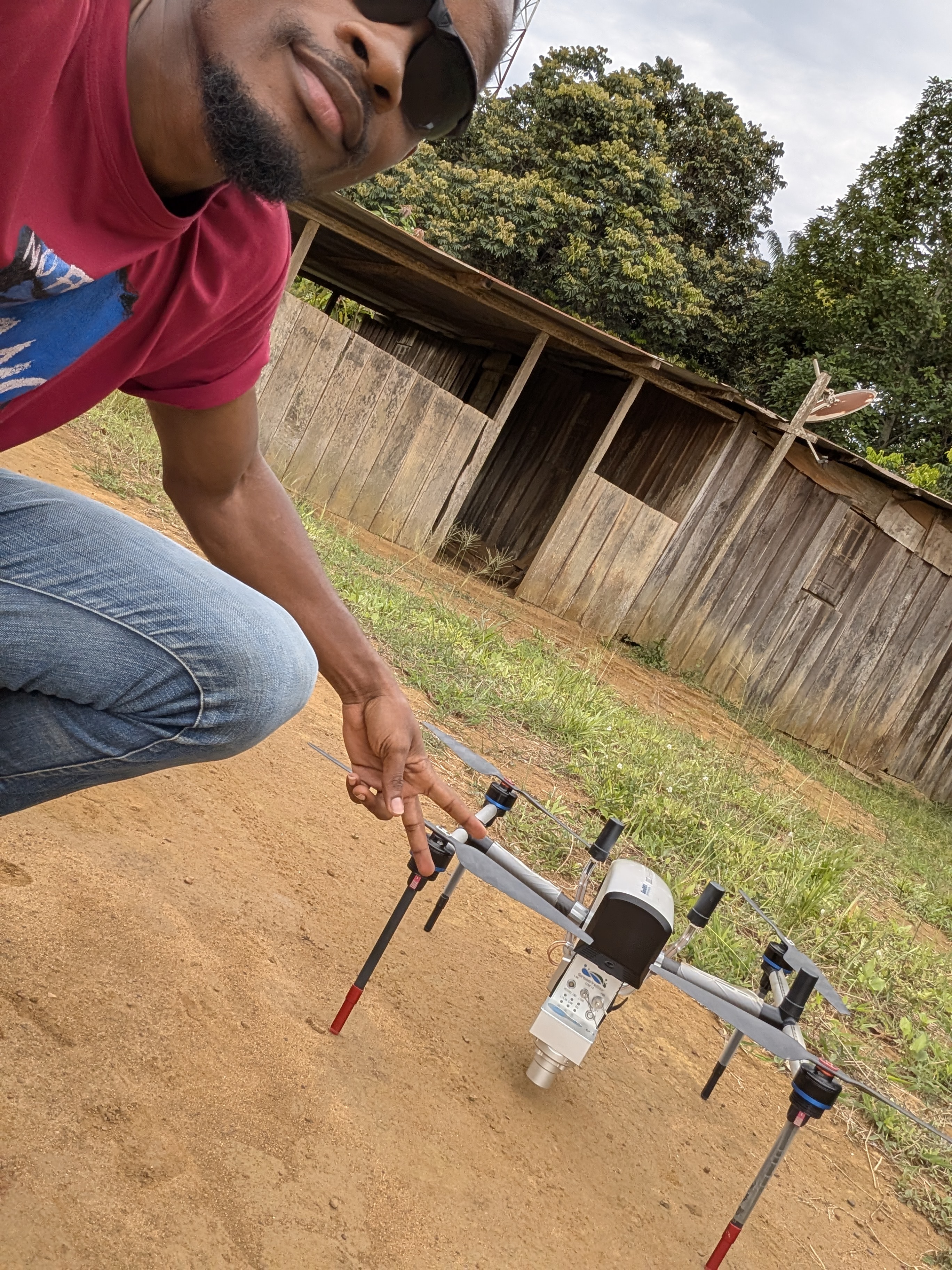
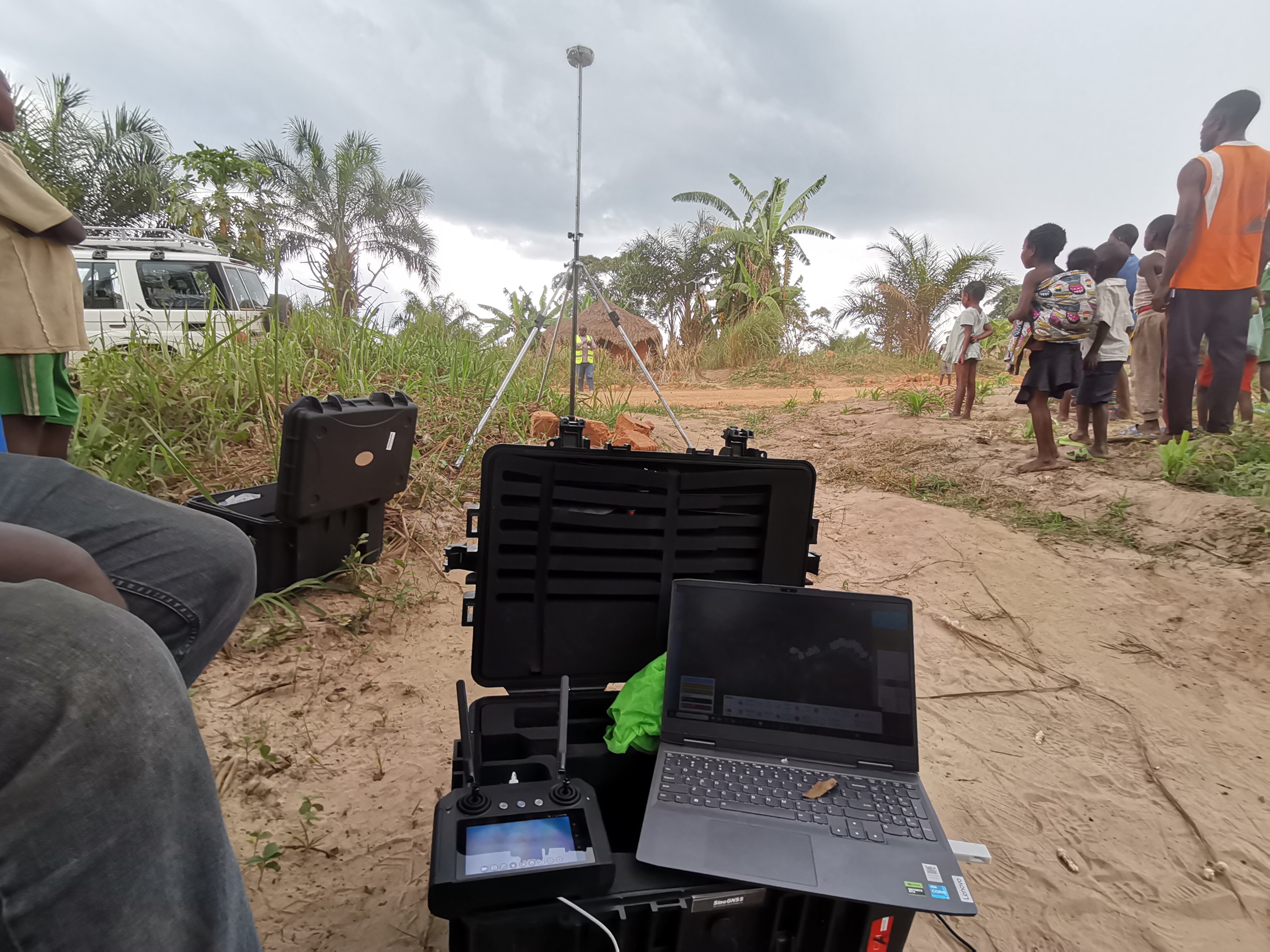
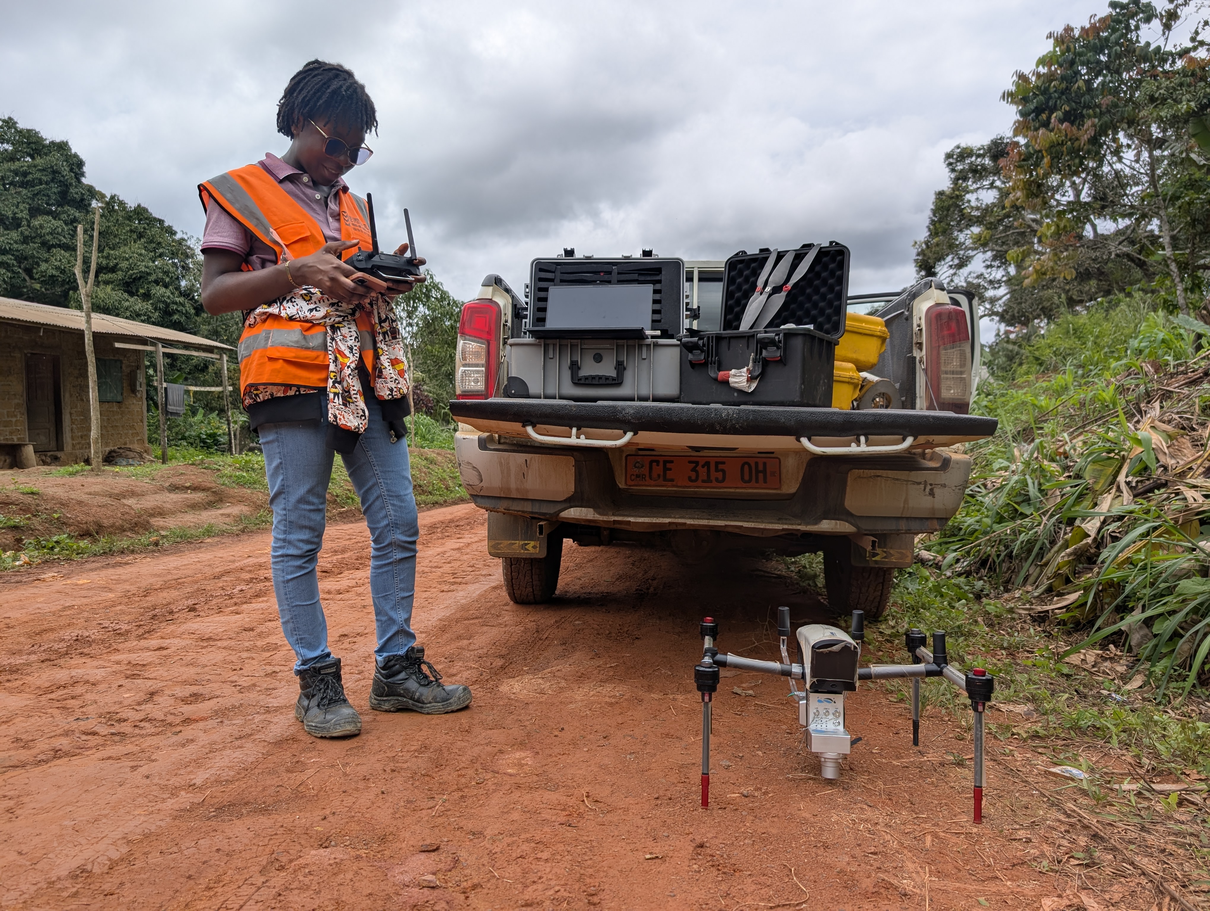
LiDAR and photogrammetric surveying
Activities:
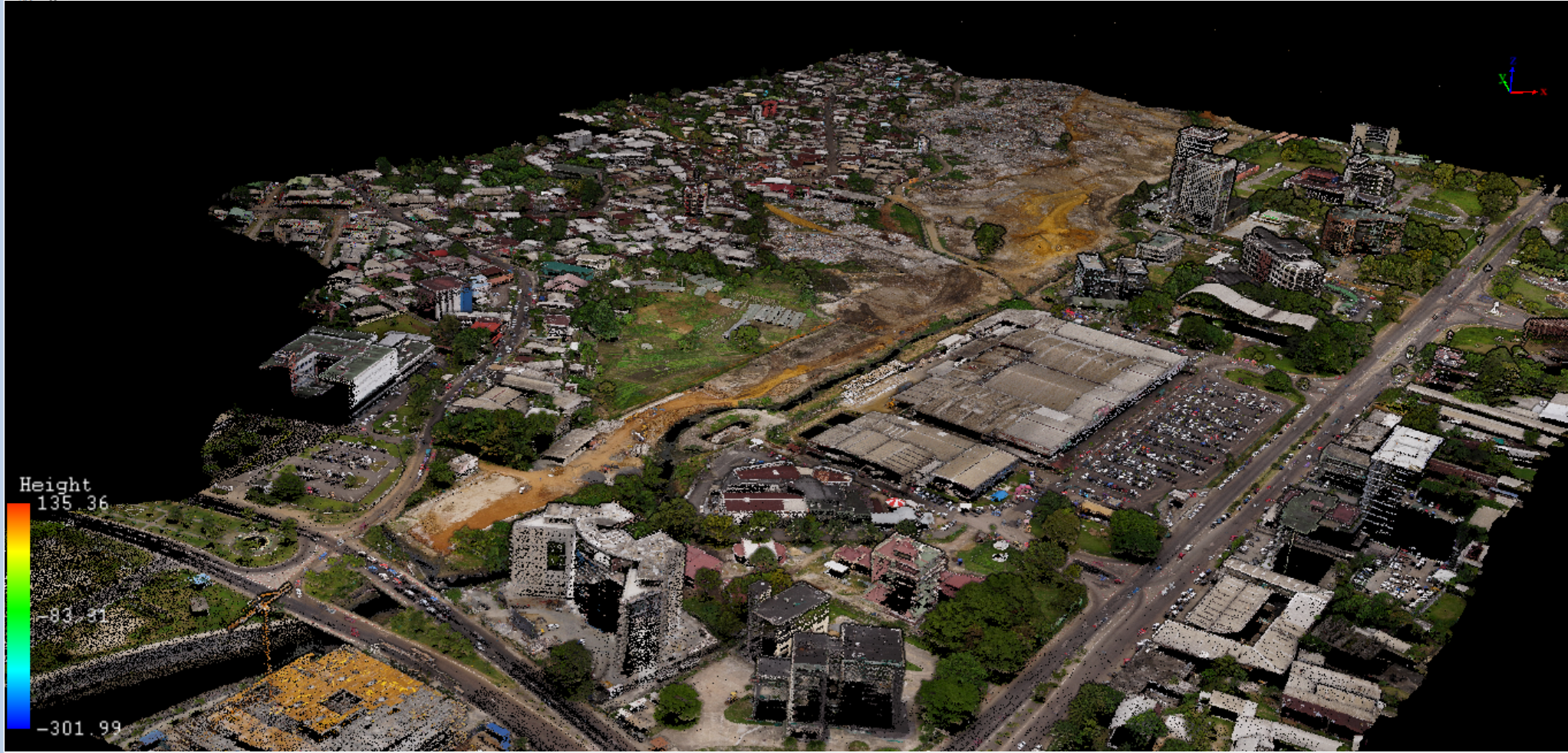
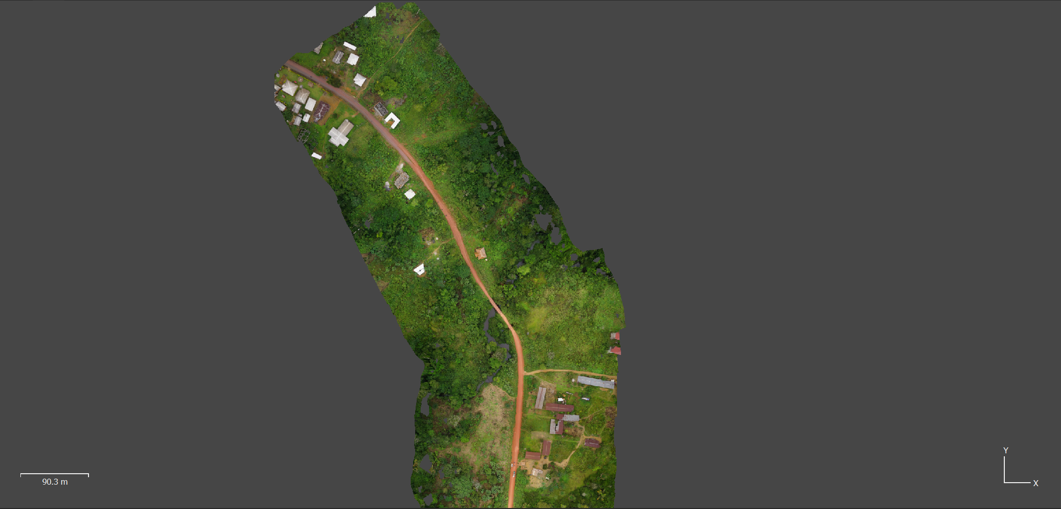
LiDAR AND PHOTOGRAMMETRIC STUDIES OF 15km road
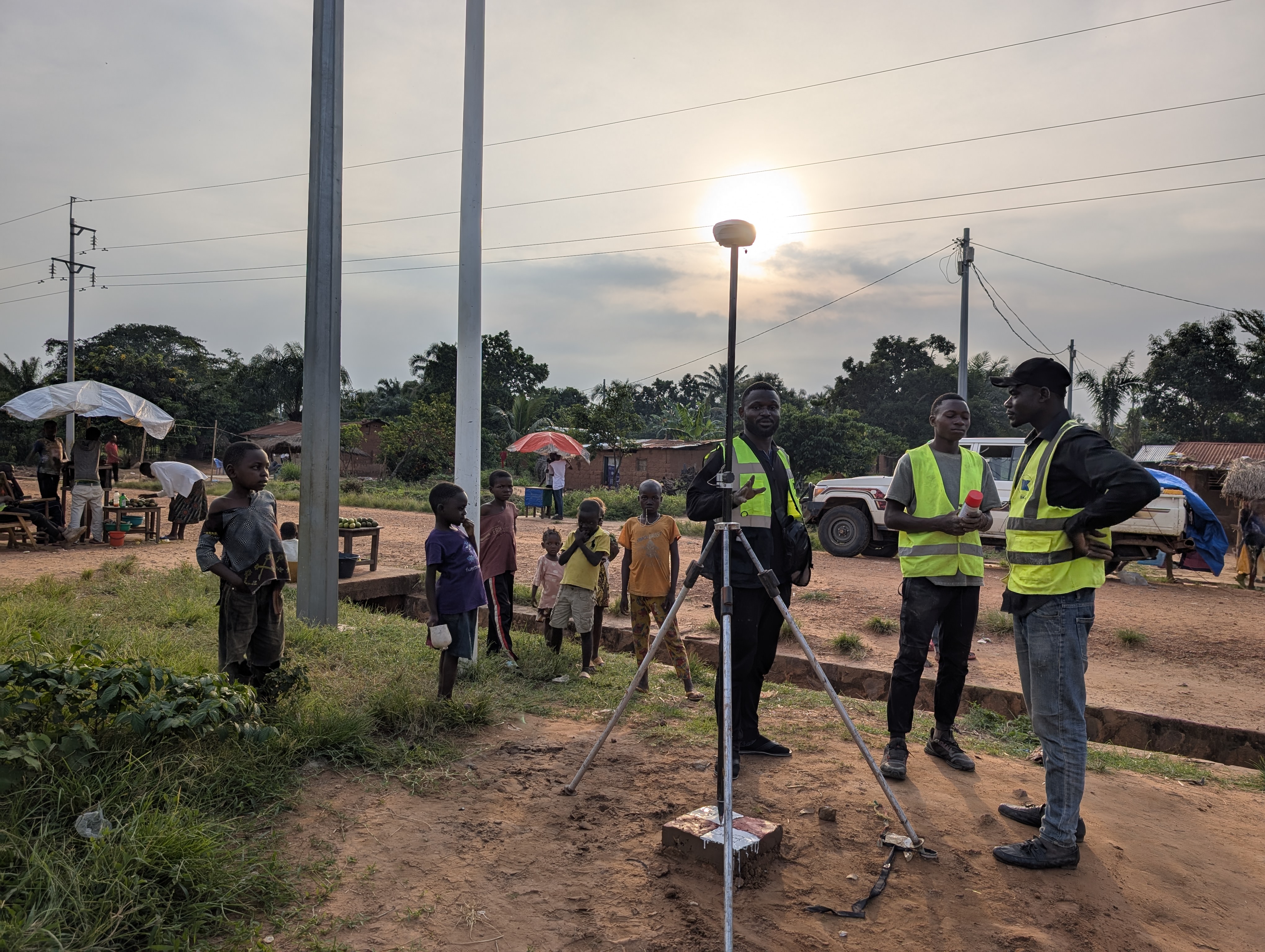
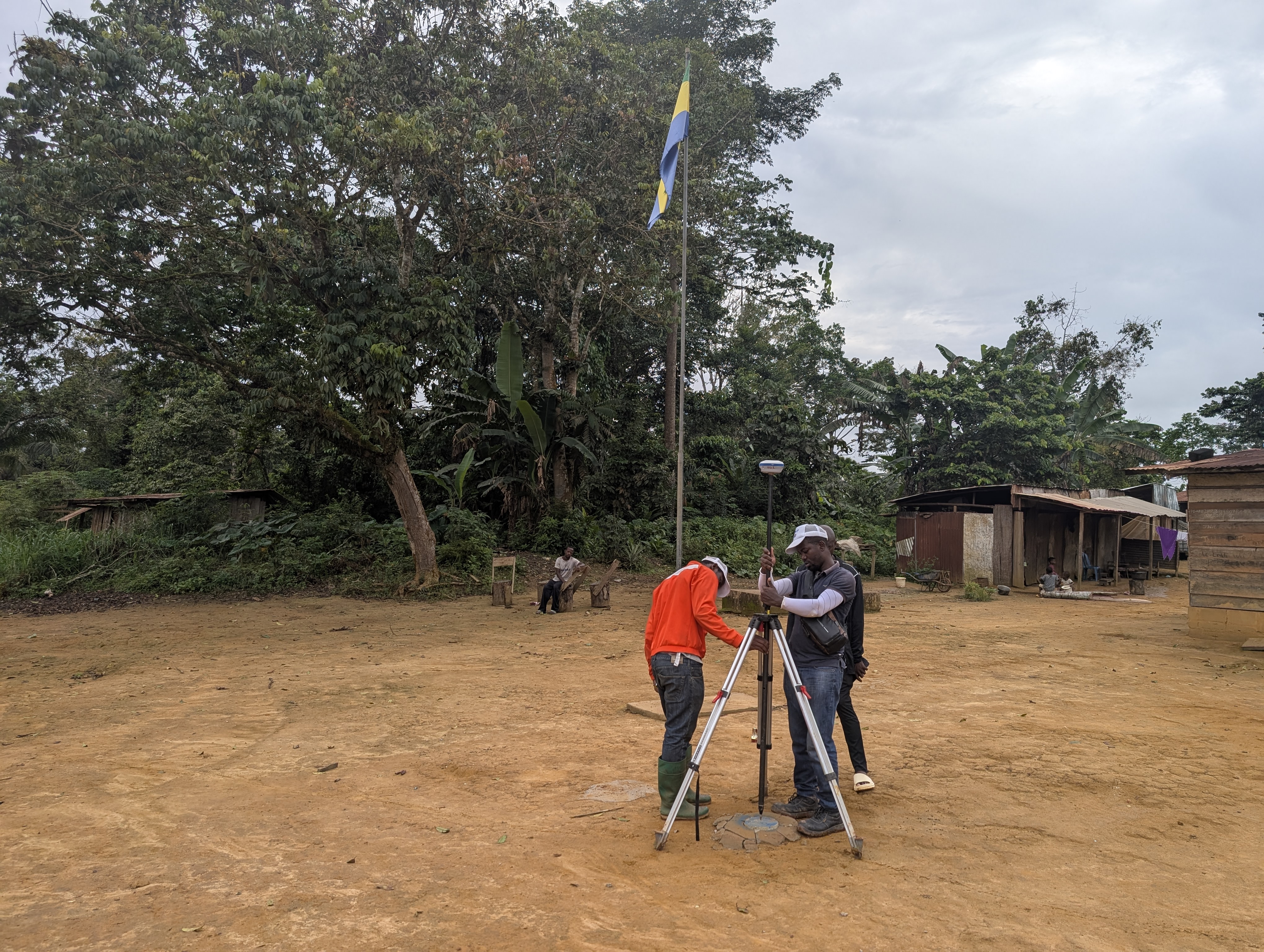
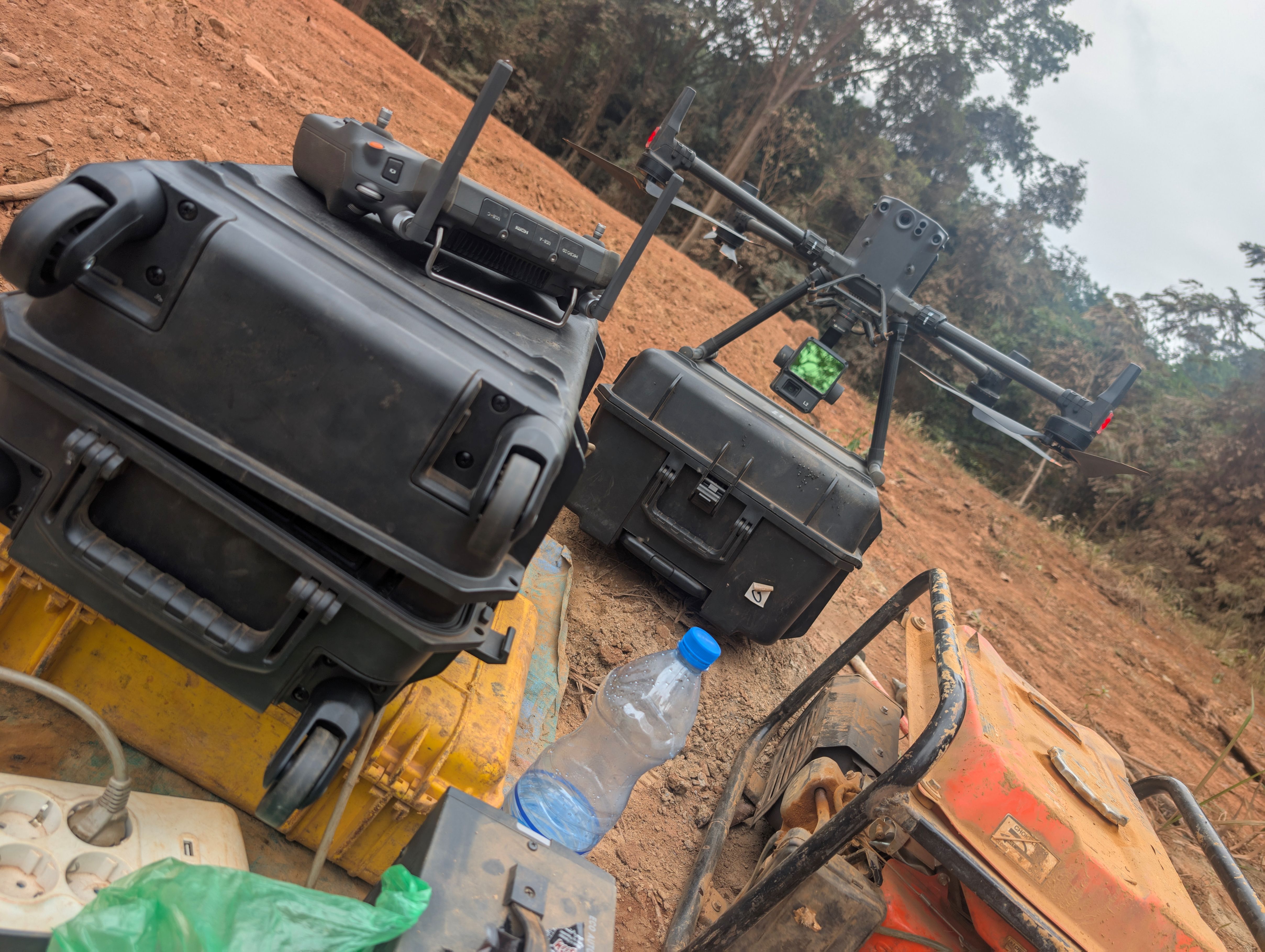
•LiDAR, photogrammetric surveying and processing,

•GNSS observations and network processing

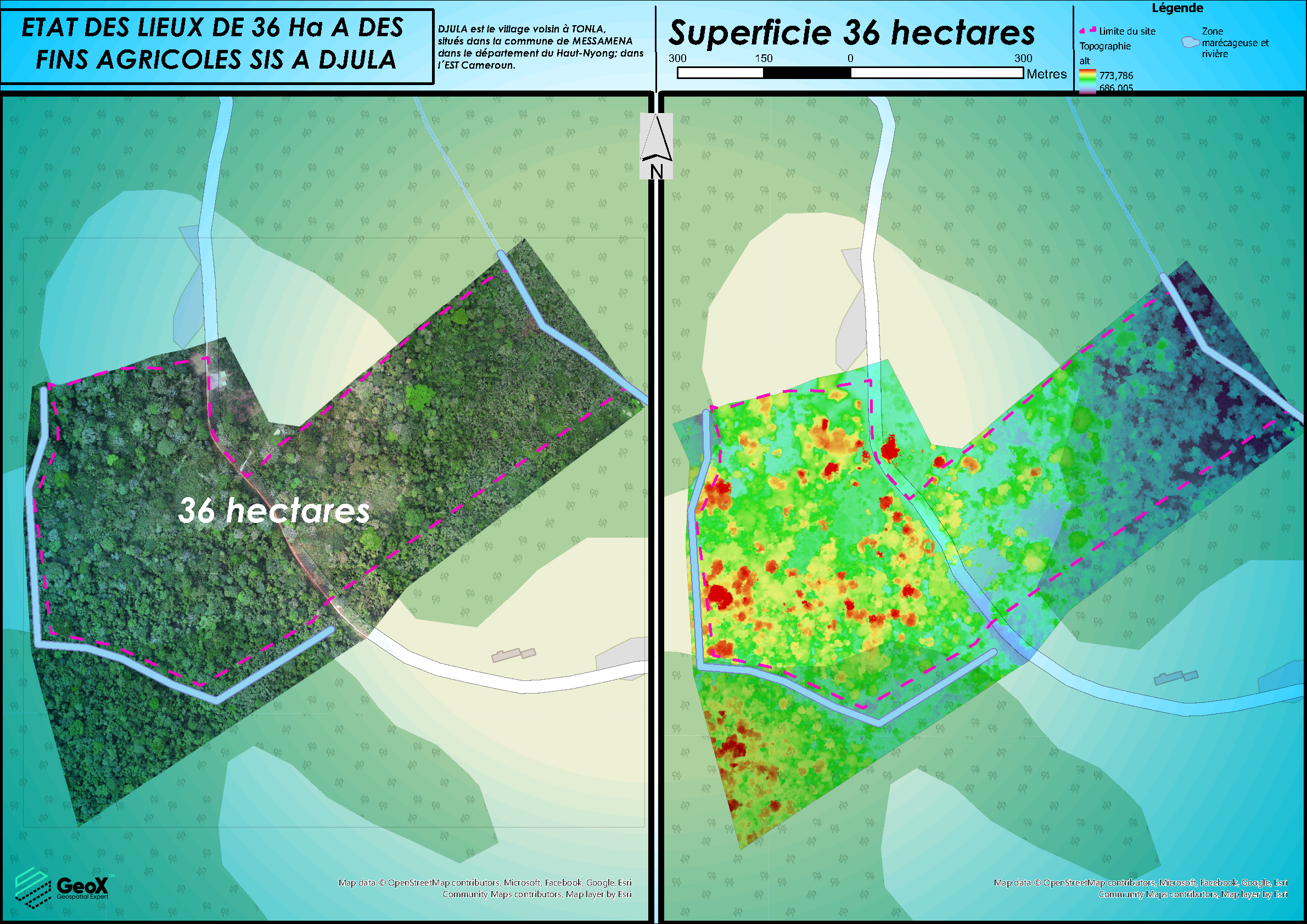
•3D/2D mapping
•3D/2D features extraction (parcels, road, river, slope)