CADASTRAL DELINEATION OF LAND
🌾 Agriculture & Land Management photogrammetry drone 2Dmapping 3Dmapping dem cartography spatial analysis GIS.

CADASTRAL DELINEATION OF LAND

lewadjass.fw
Sat. 14 Feb 2026 at 06:59 PM

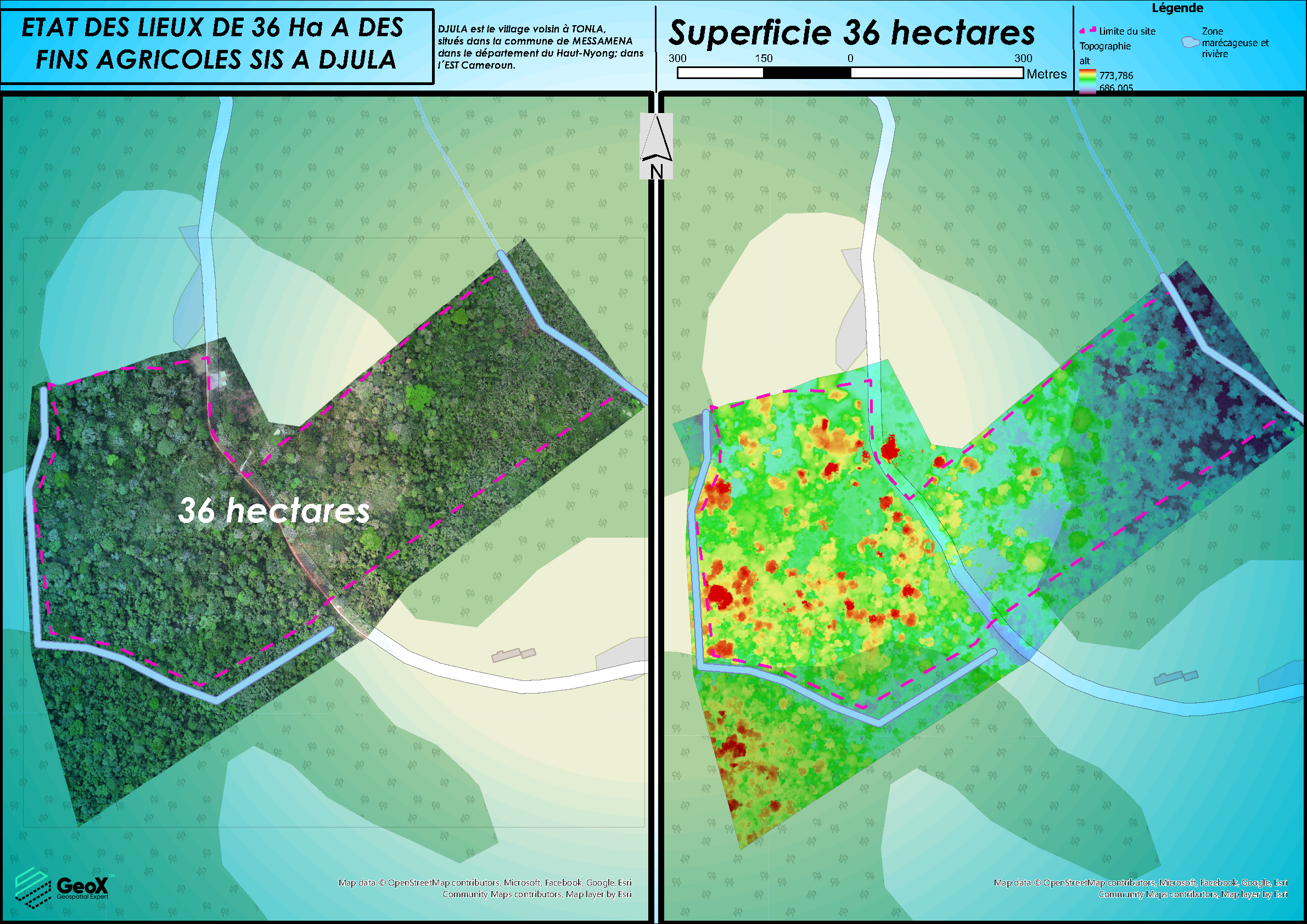
- Name of the project or mission: 

 CADASTRAL DELINEATION OF LAND 

- Year: February 2025          

- Location: Cameroon – Bagangté

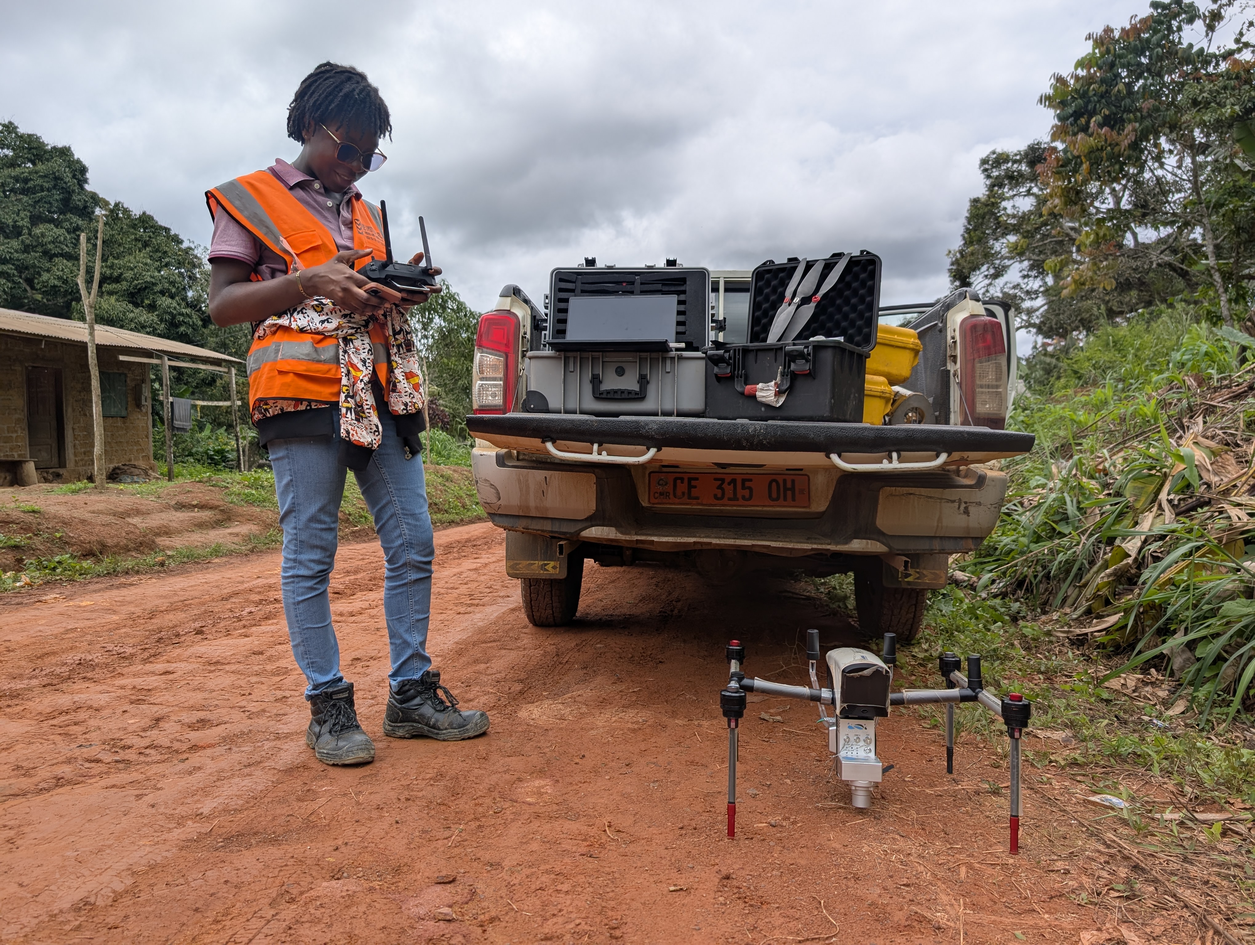
- Position: Photogrammetric Surveyor
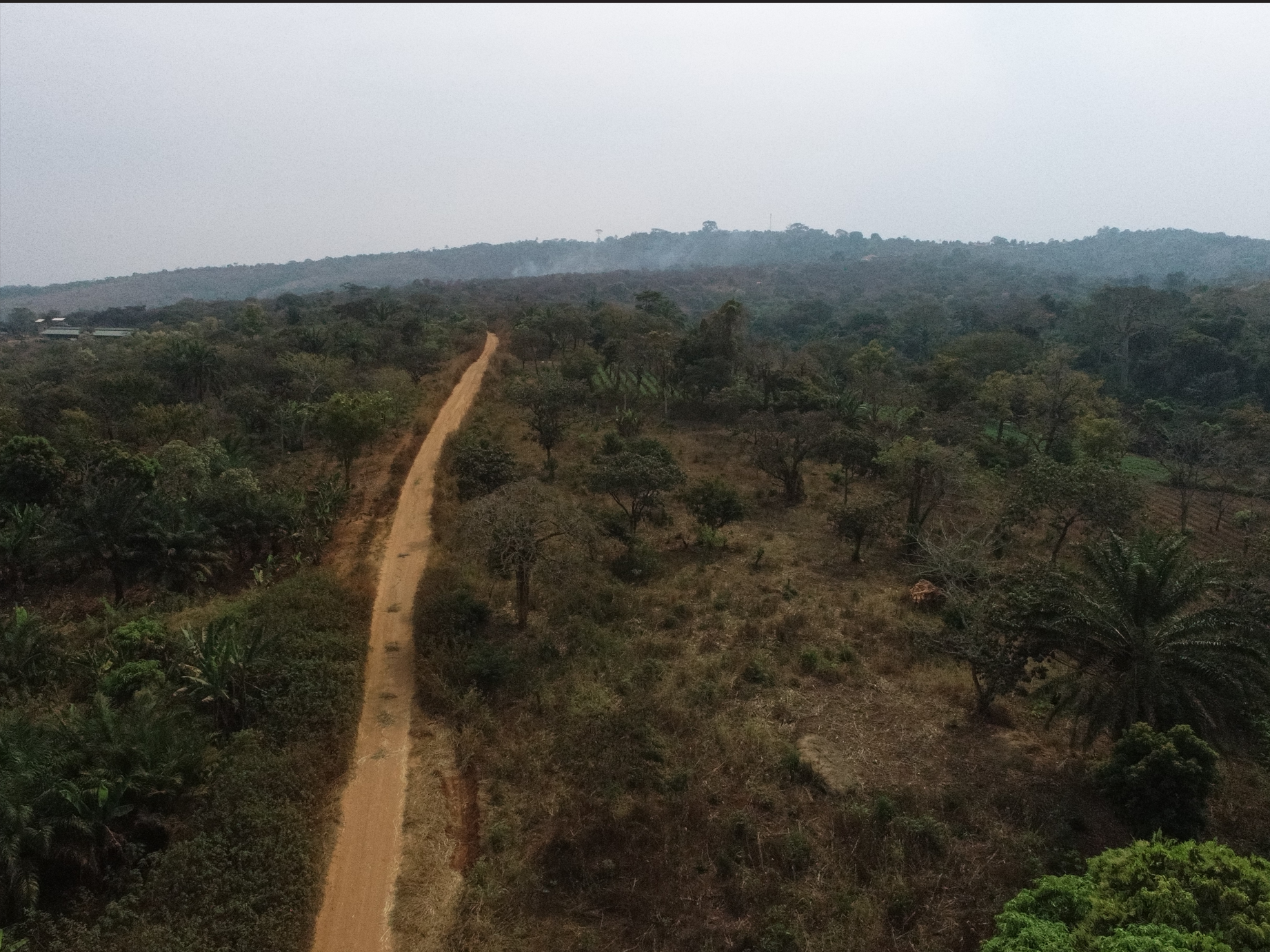
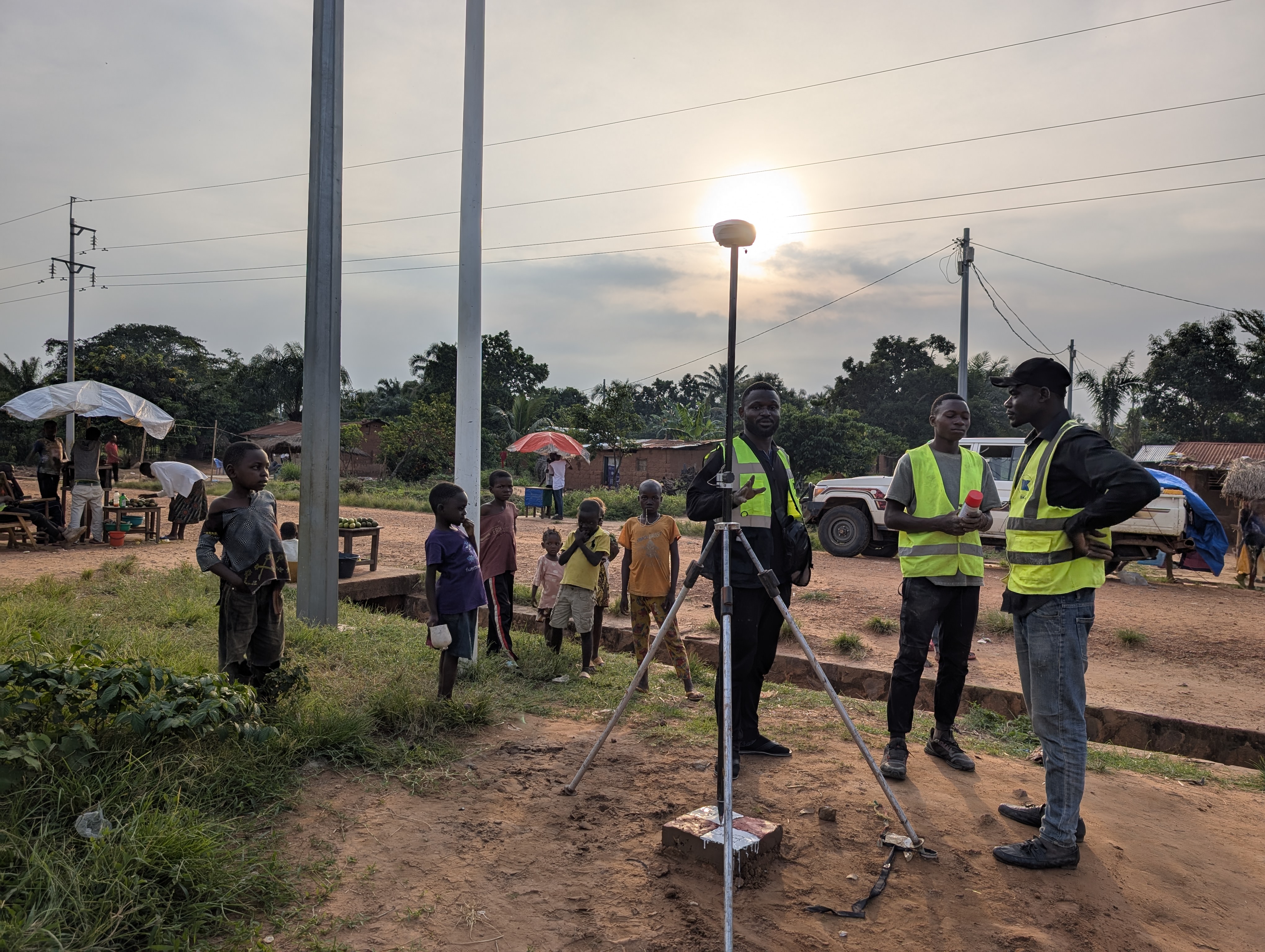
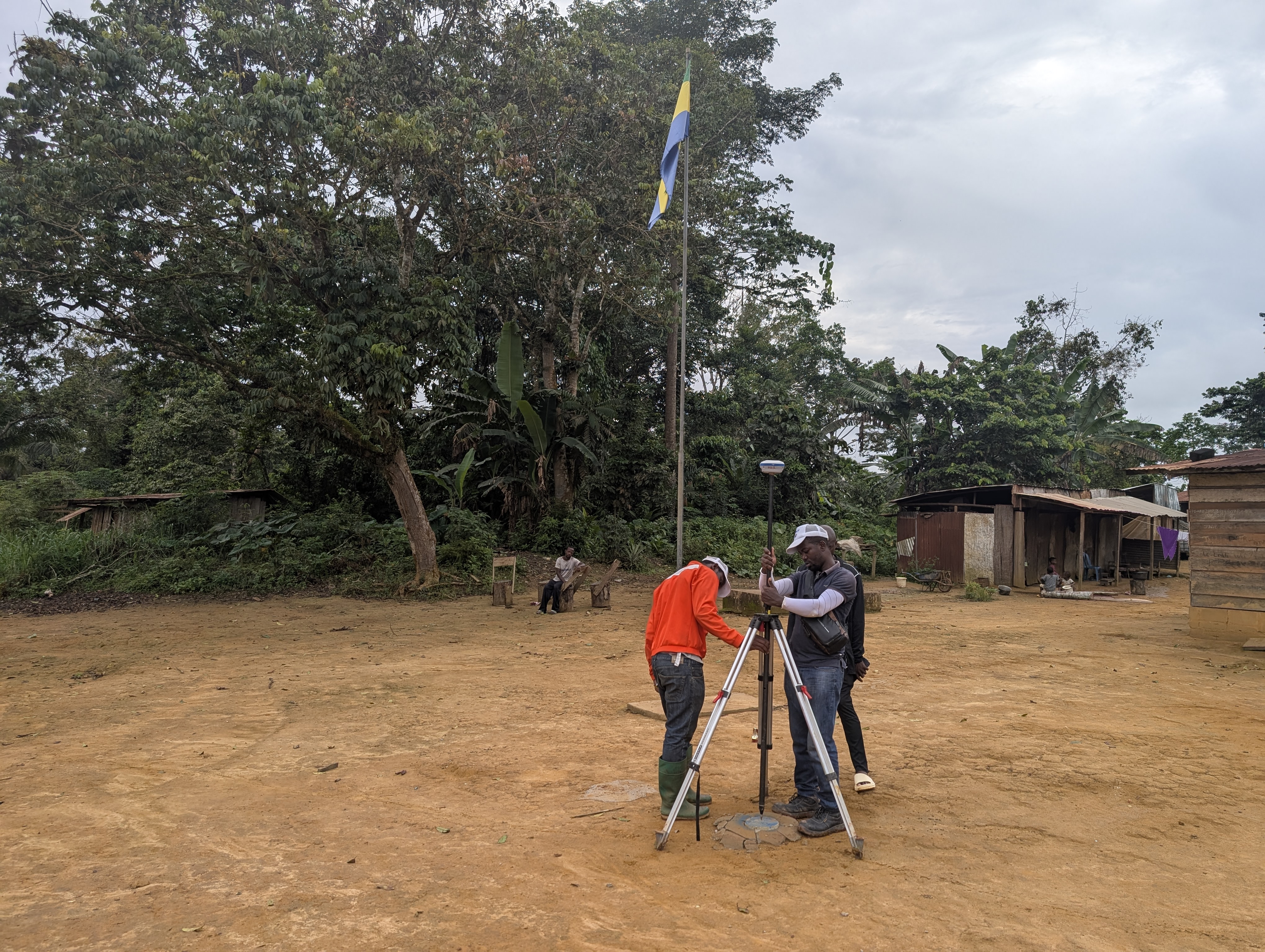
Activities: 

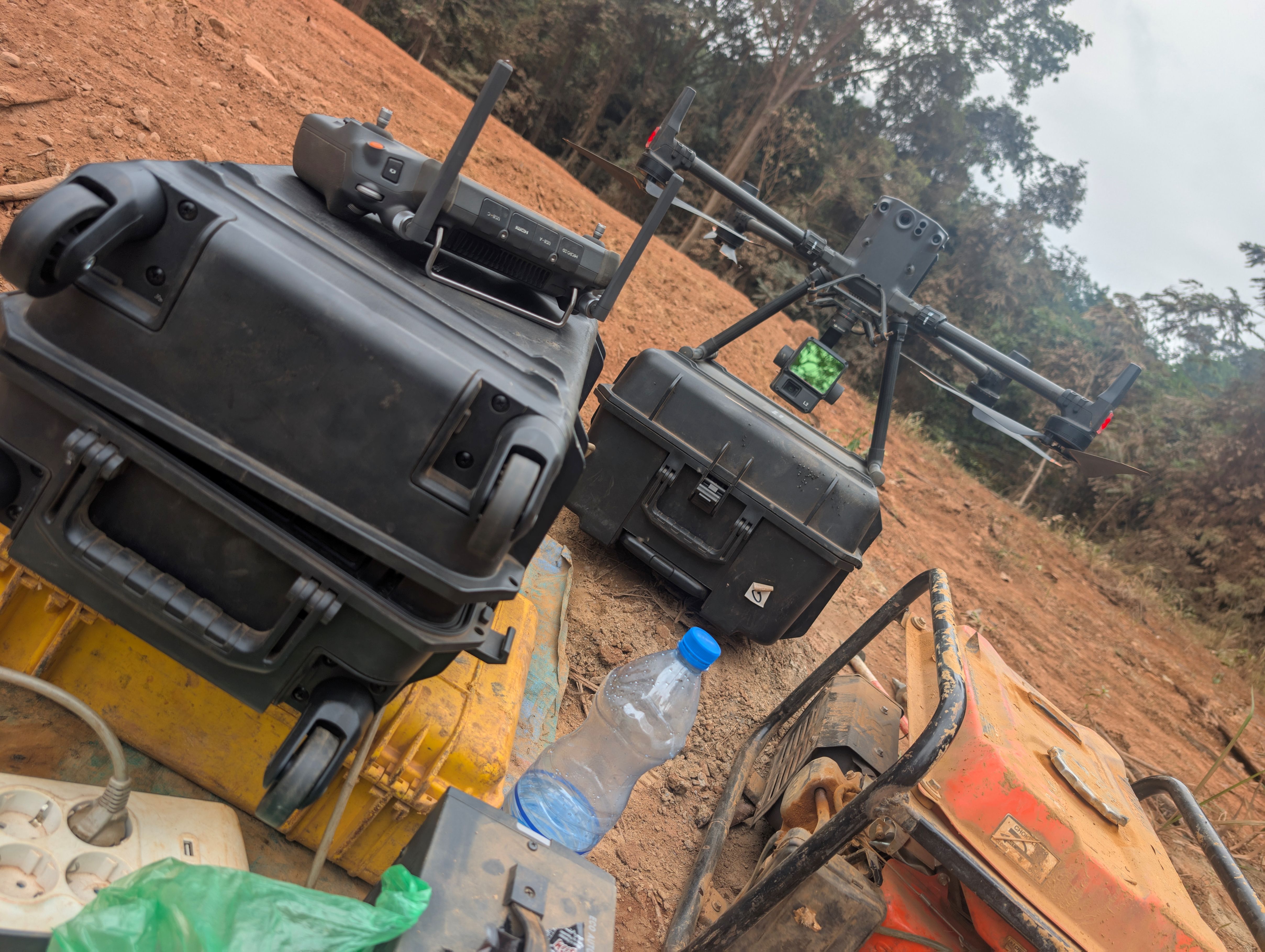
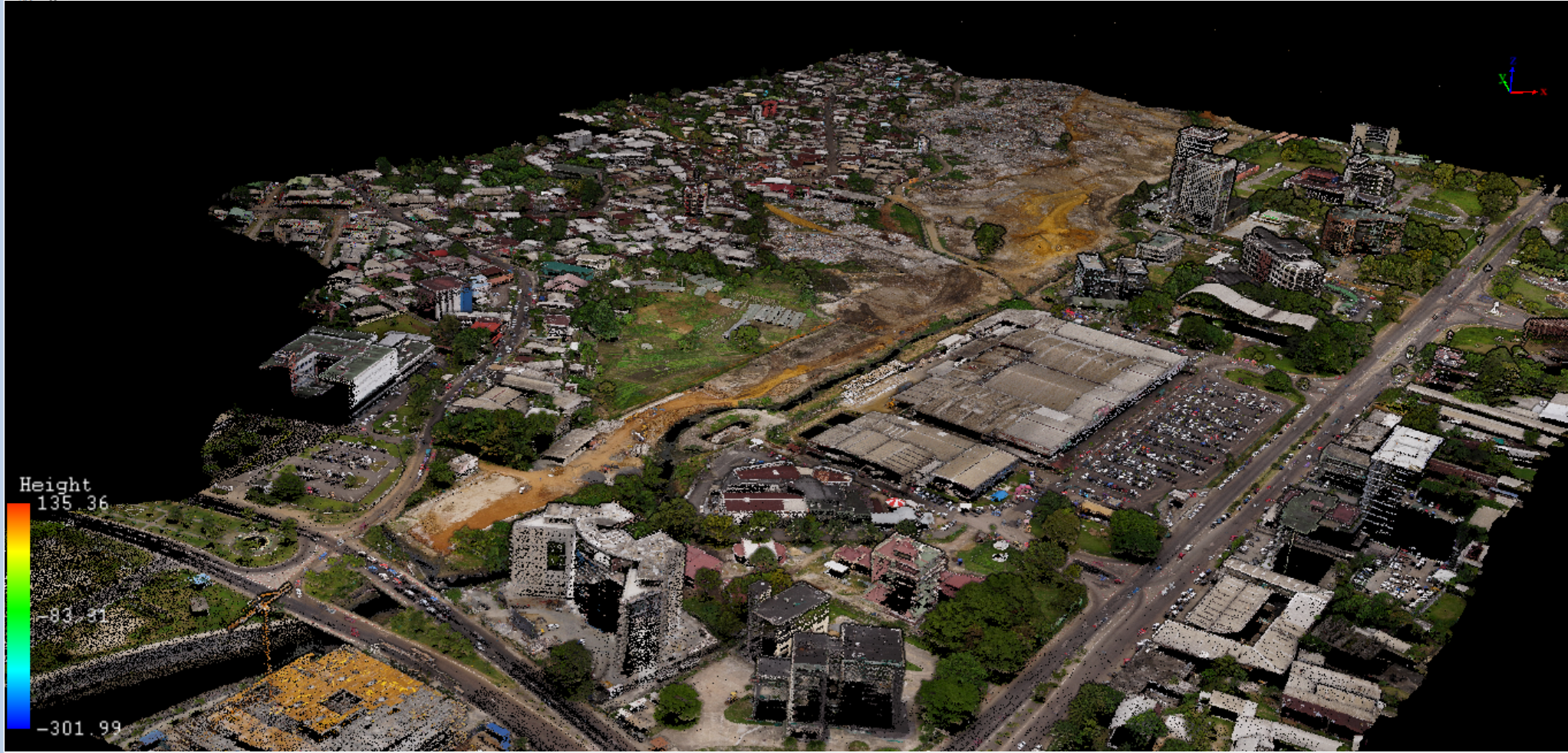
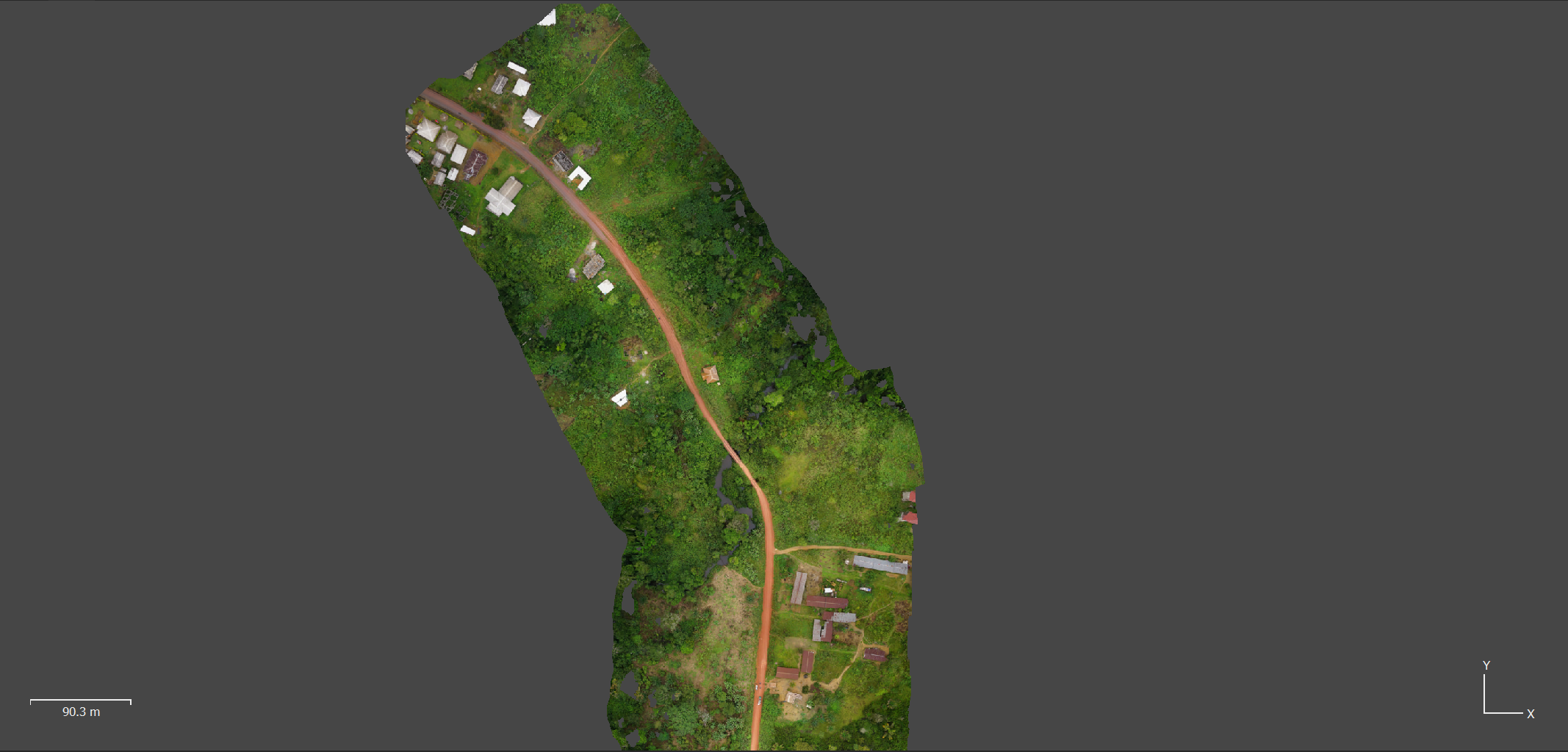
PHOTOGRAMMETRIC STUDIES OF 300Ha SURFACE

•Photogrammetric surveying and processing, 


•3D/2D mapping 

•3D/2D features extraction (Properties, parcels, road, river)