KANANGA URBAN EMEERGENCY AND RESILIENCE PROJECT
🌪️ Natural Hazards & Disaster Risk Management lidar drone 3Dmapping dem spatial analysis GIS.

KANANGA URBAN EMEERGENCY AND RESILIENCE PROJECT

lewadjass.fw
Sat. 14 Feb 2026 at 06:26 PM

-     Name of the project or mission:

 KANANGA URBAN EMEERGENCY AND RESILIENCE PROJECT

-      Year: February 2025                 

-      Location: DRCKananga

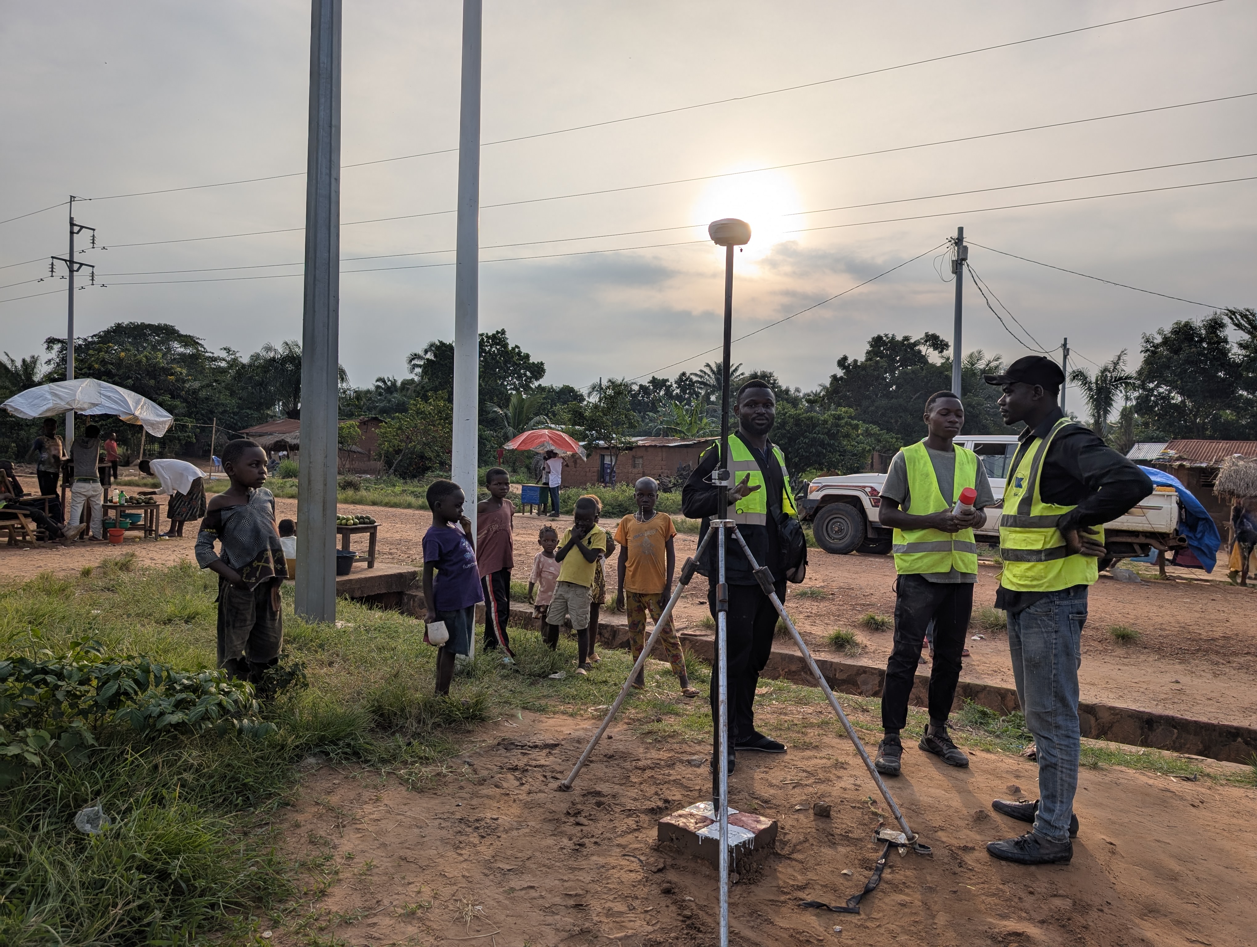
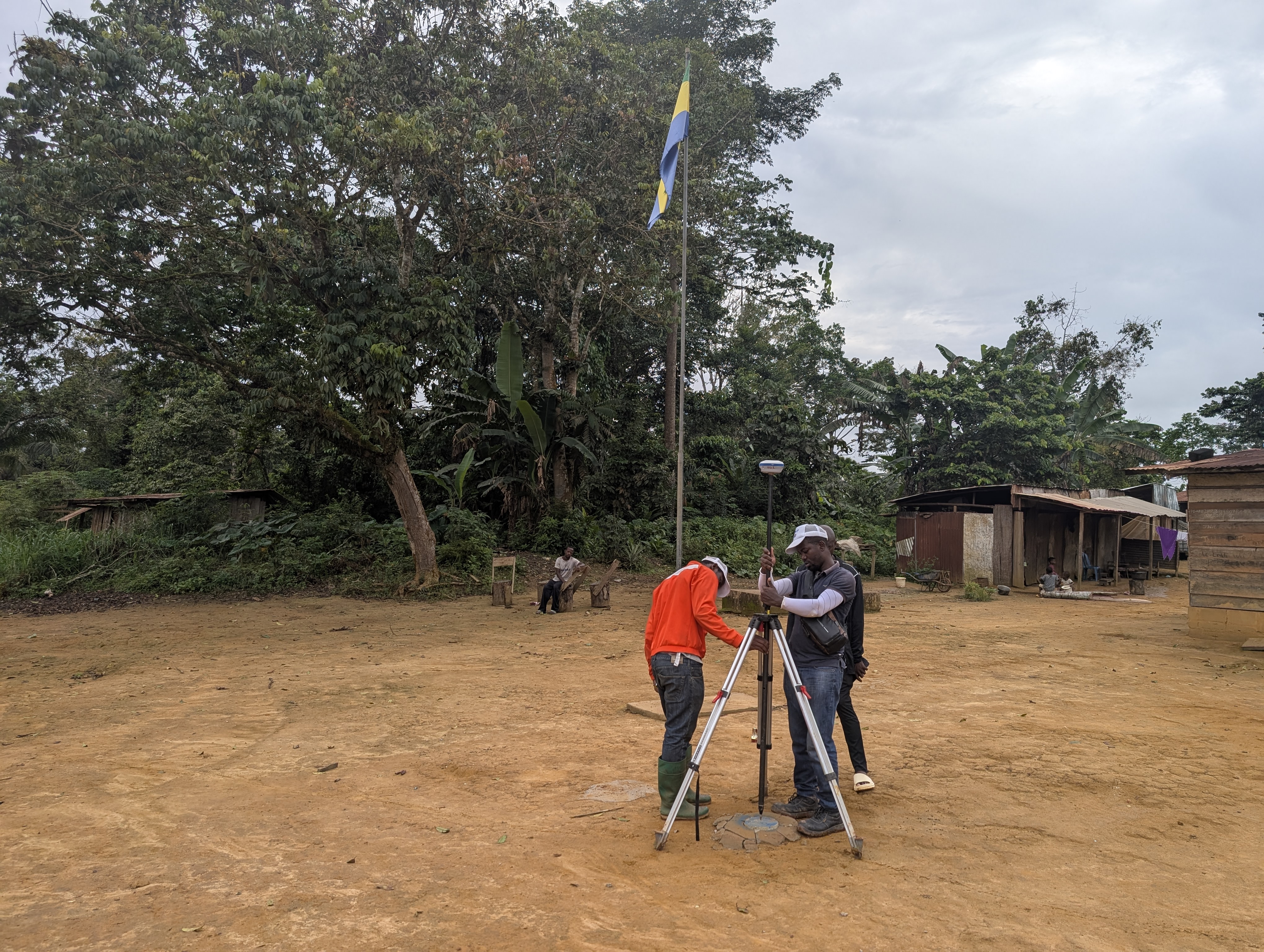
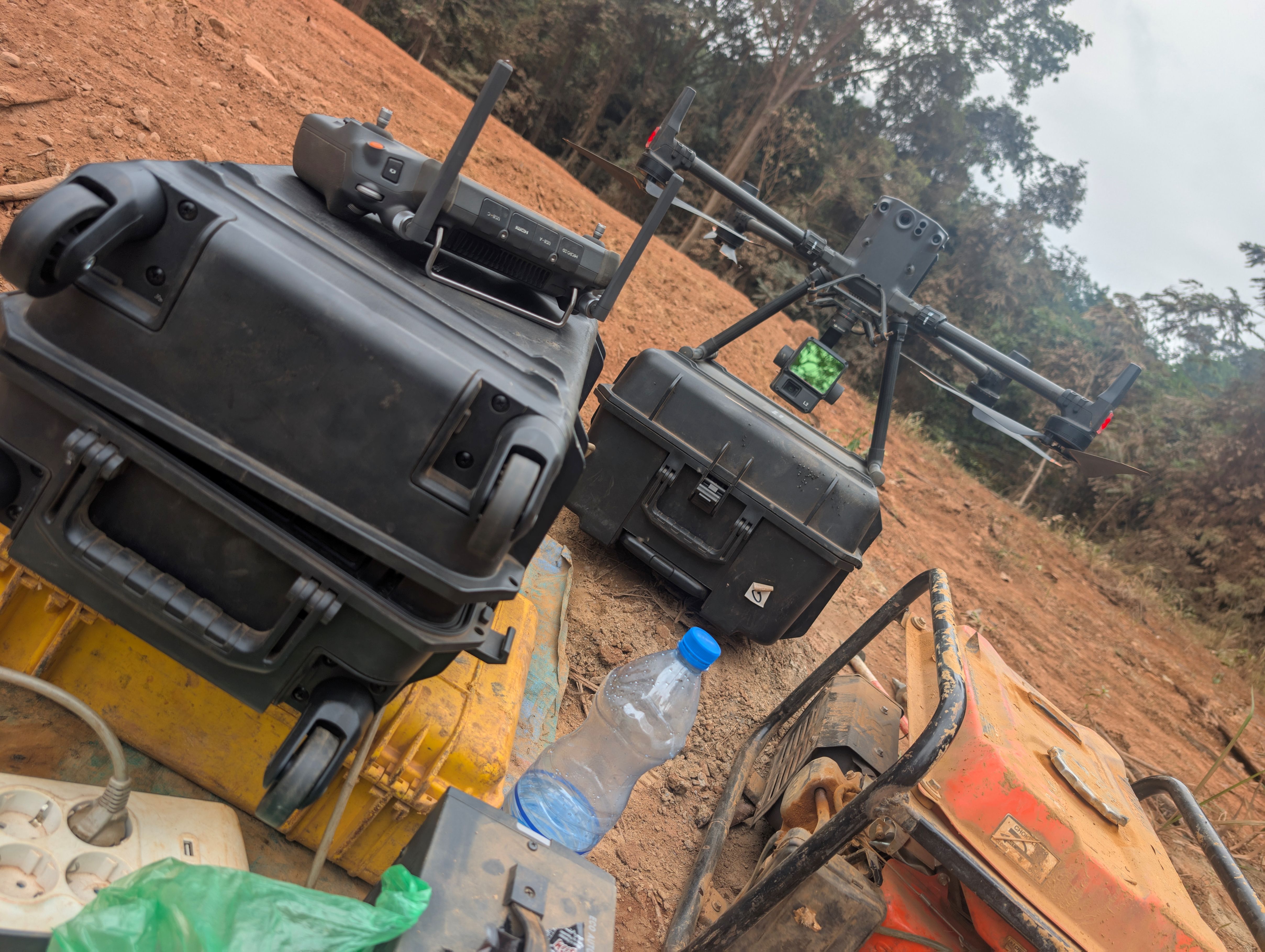
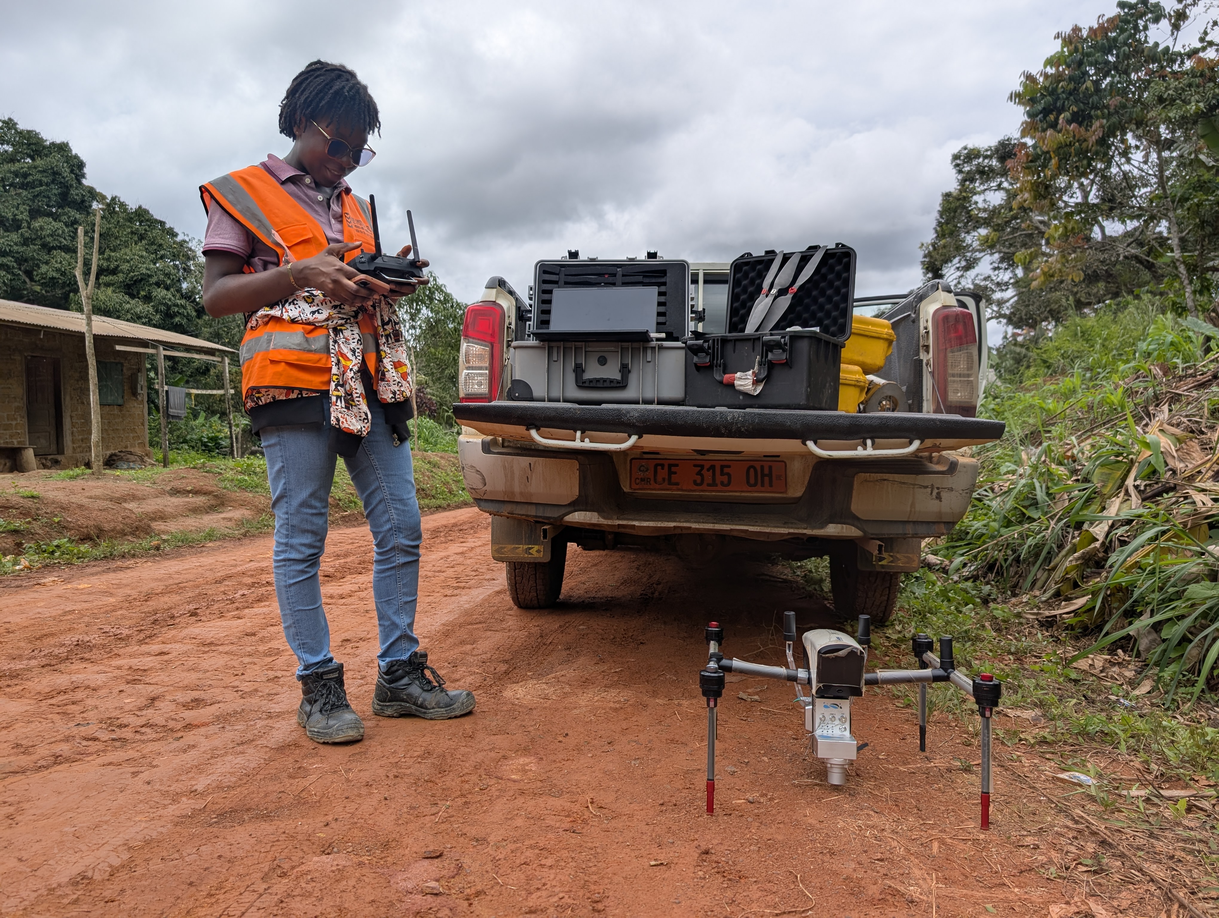
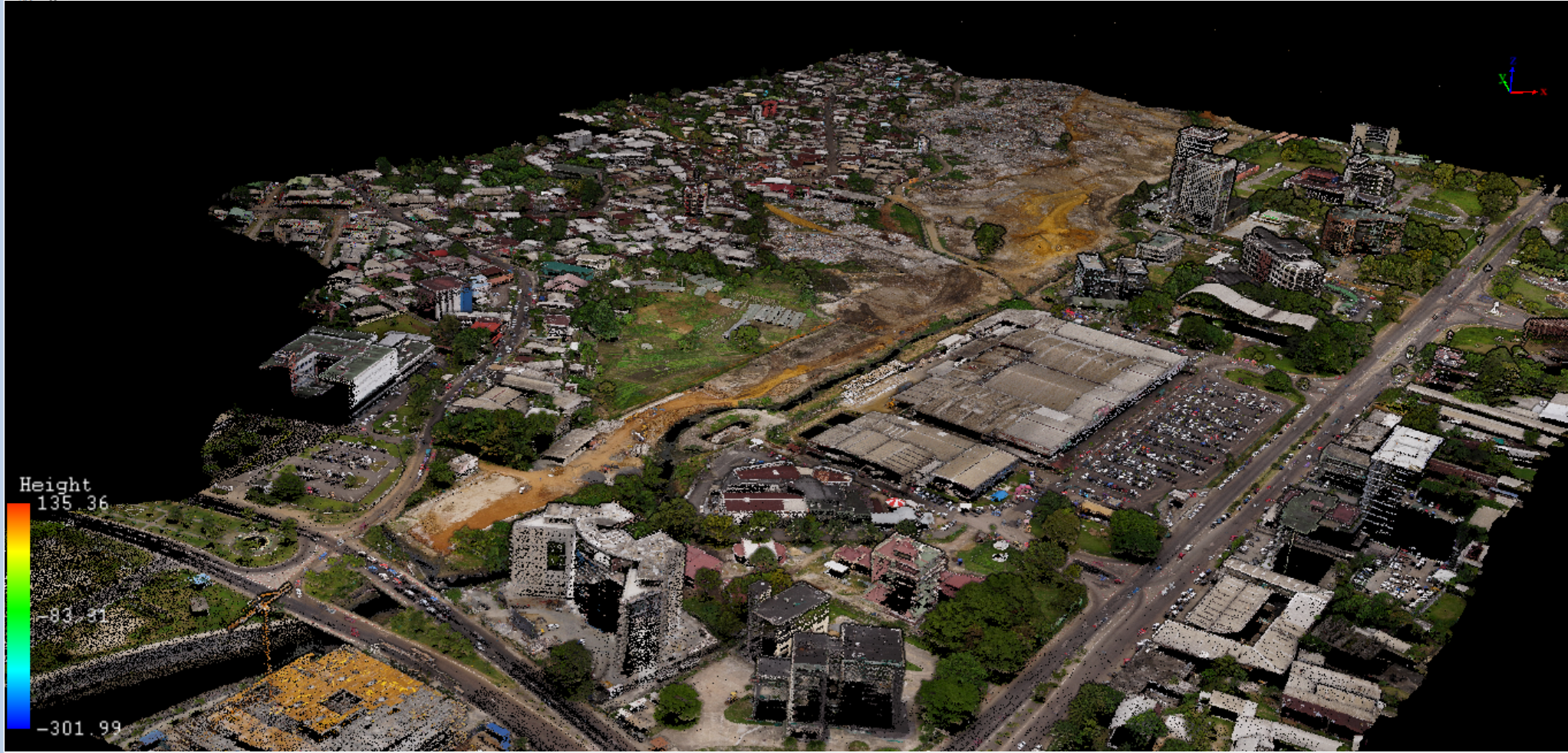
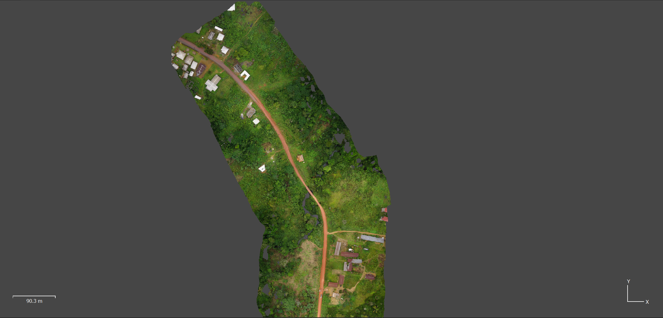
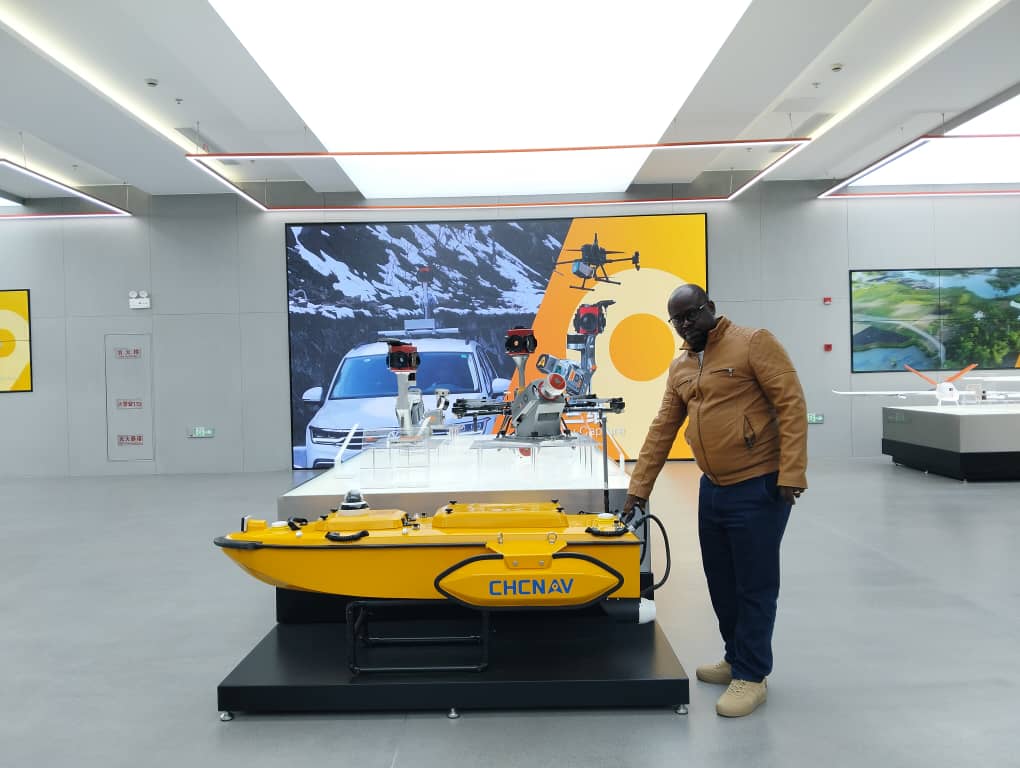
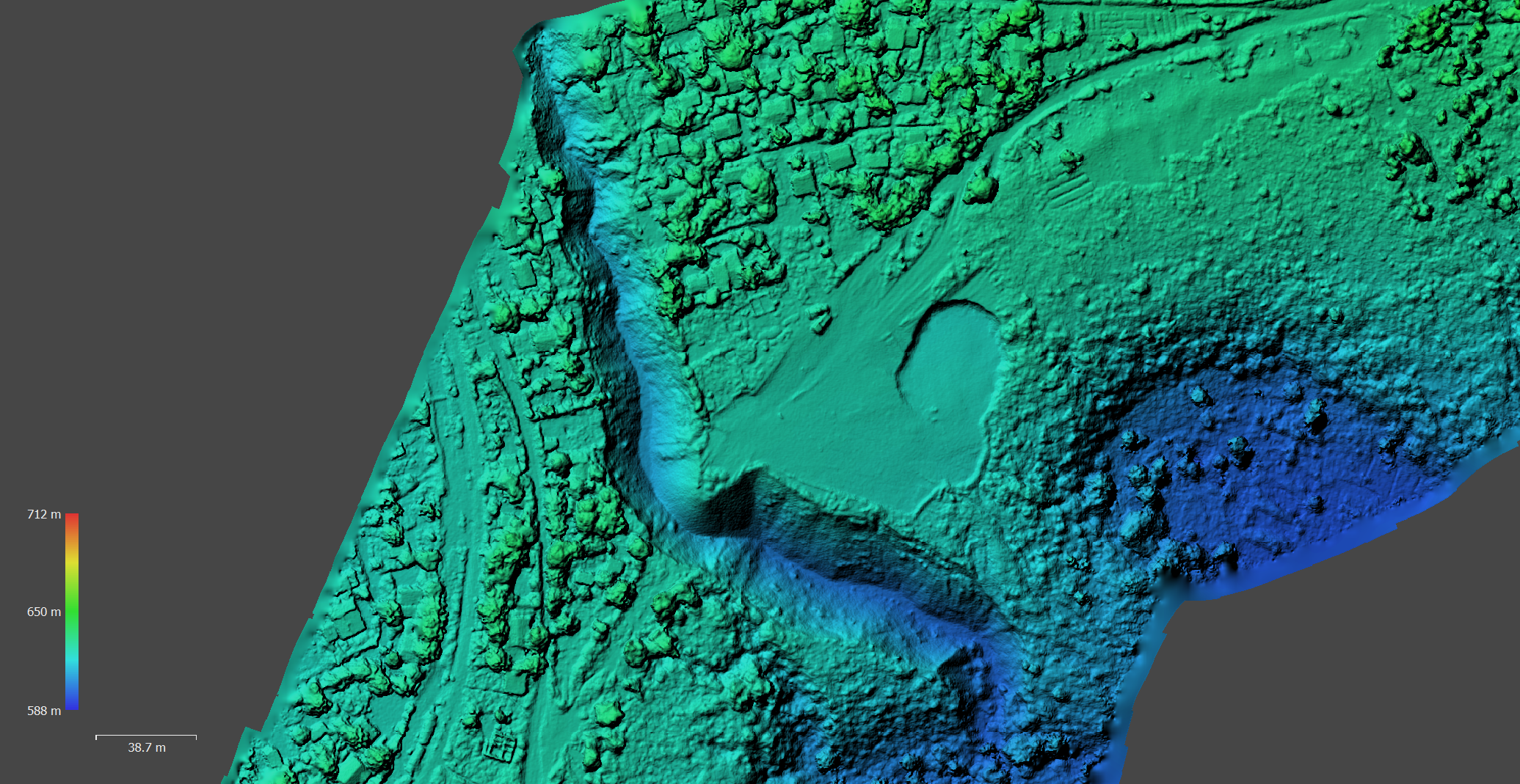
LiDAR, photogrammetric and Geodetic surveying

Activities:

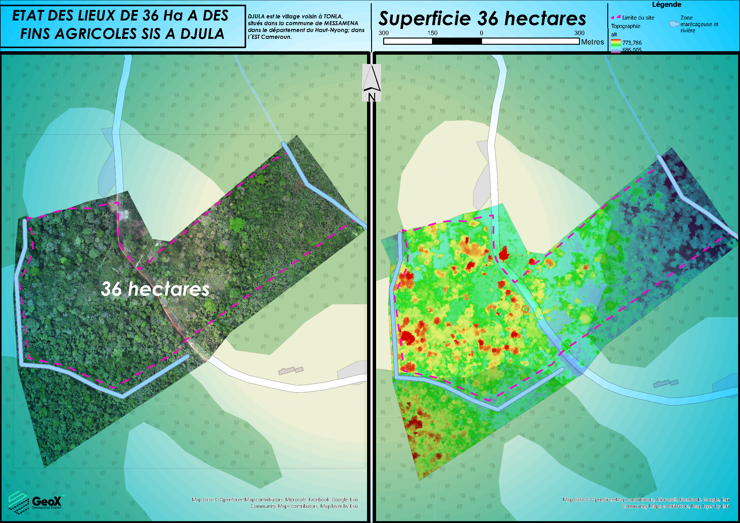
LiDAR AND PHOTOGRAMMETRIC STUDIES OF EROSION SITE

•LiDAR, photogrammetric surveying and processing,

•GNSS observations

•3D/2D mapping (slope, flooding simulation)


•3D/2D features extraction