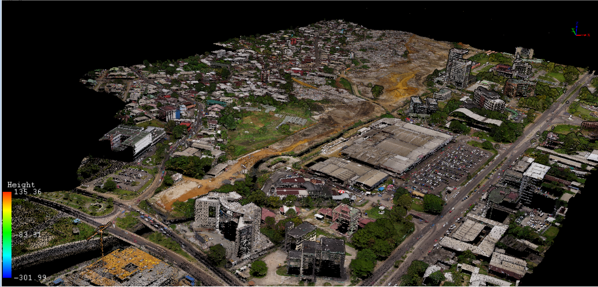


Projets récents
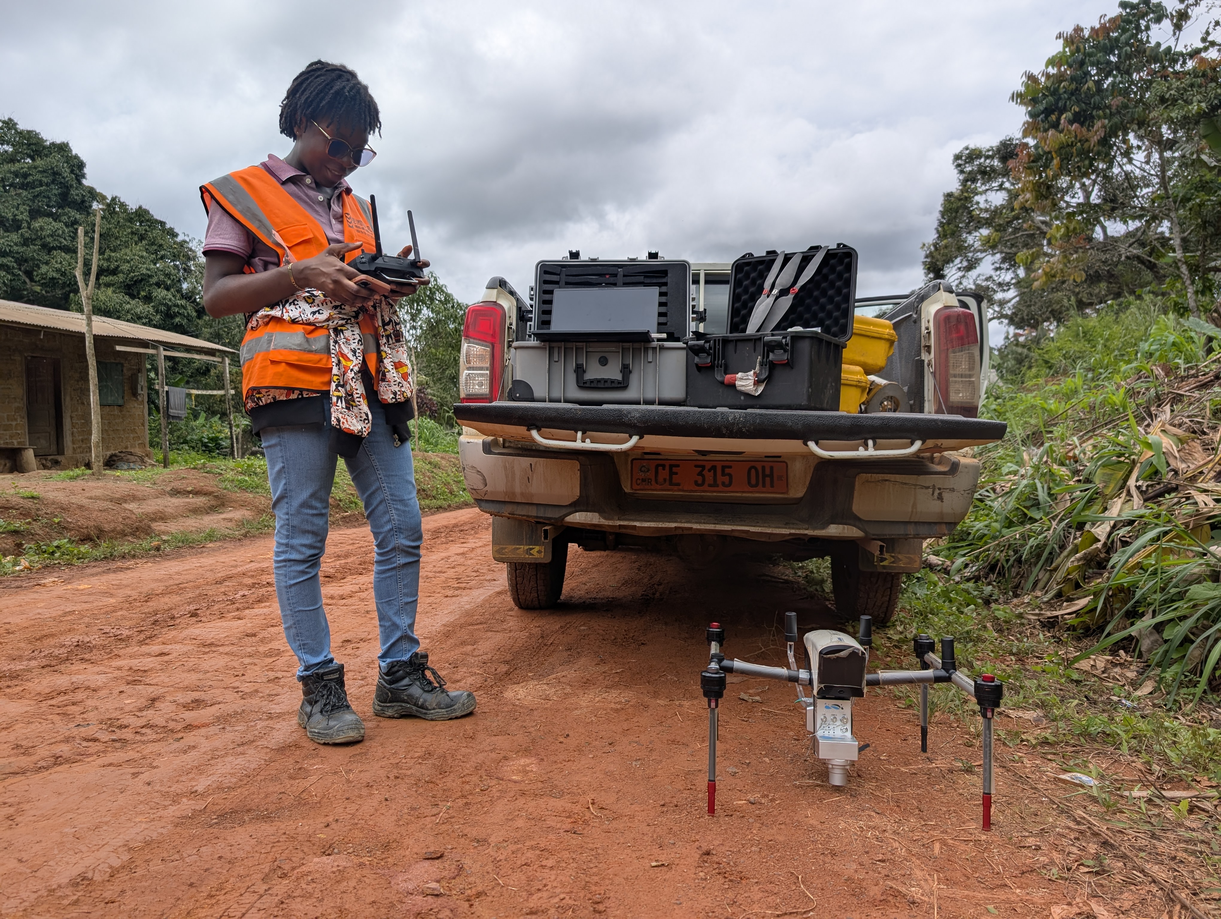
TESSANG FARMING PROJECT
🌾 Agriculture & Land Management
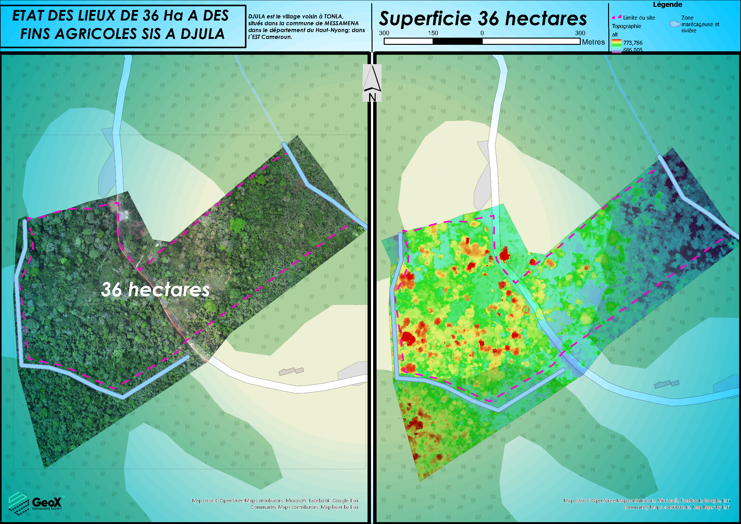
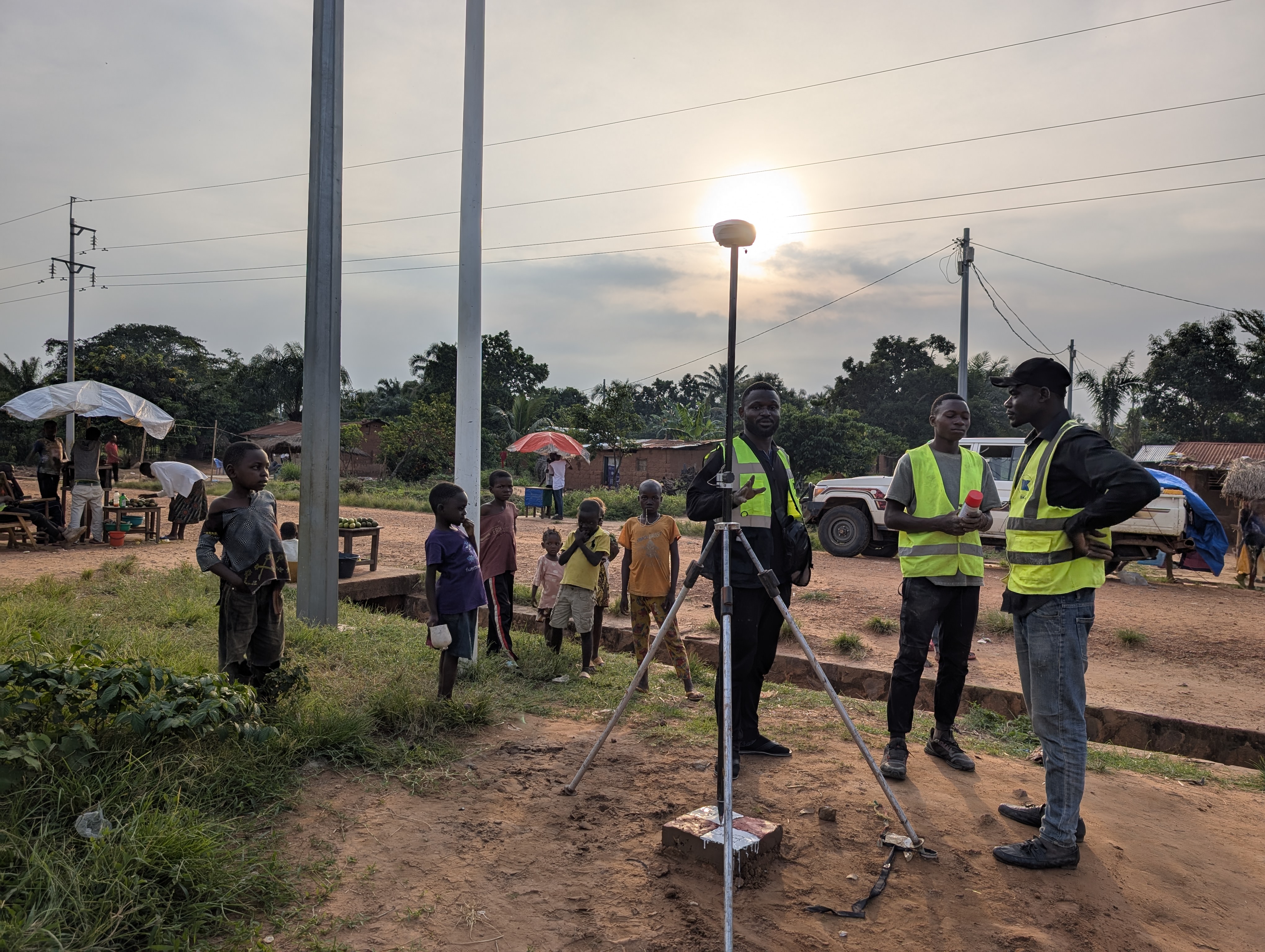
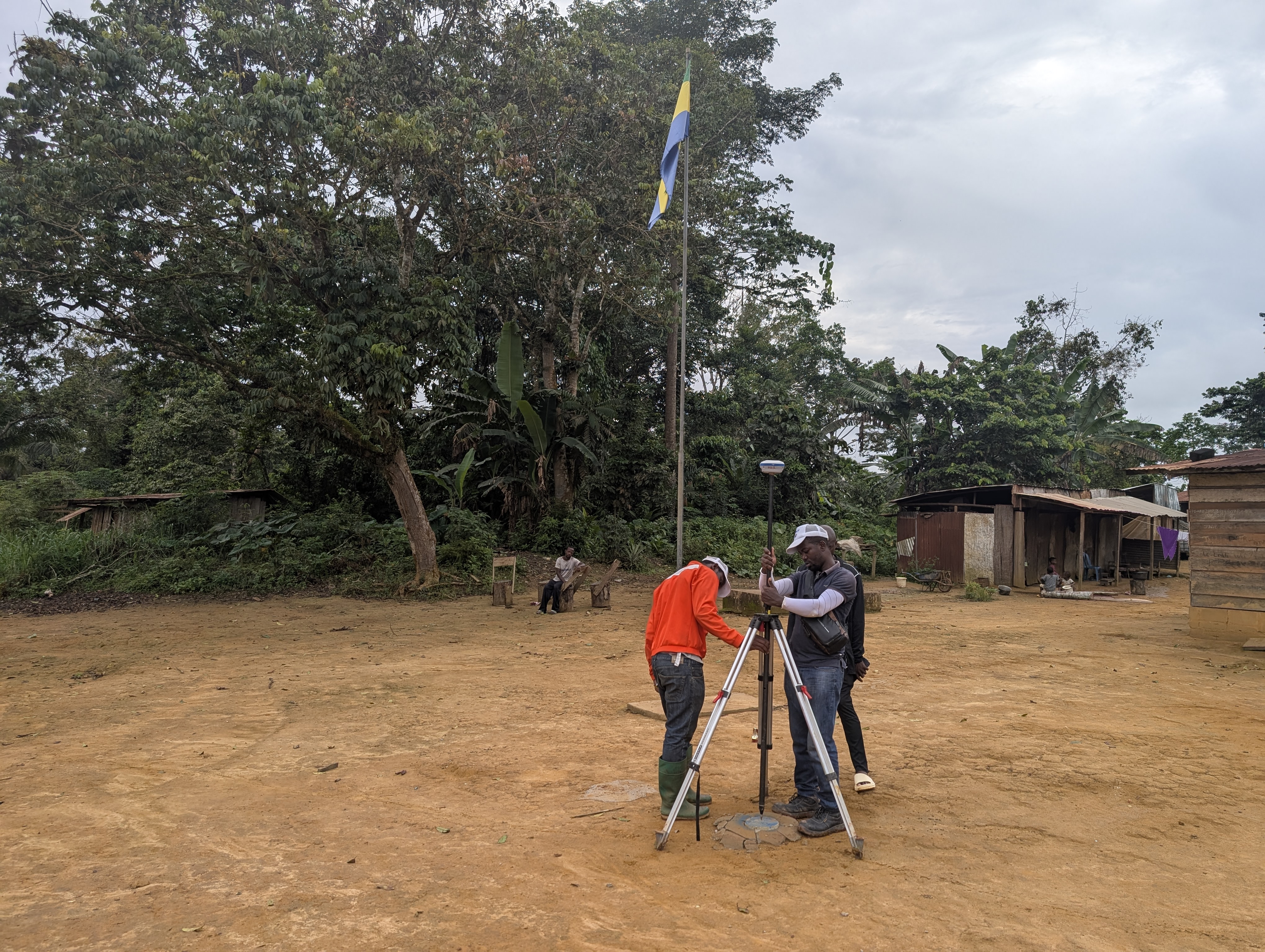
CADASTRAL DELINEATION OF LAND
🌾 Agriculture & Land Management
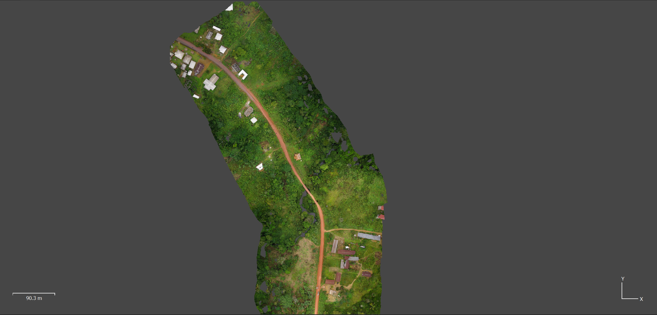
CONSTRUCTION KANANGA - TSHIBULU´s ROAD
🛣️ Roads & Highway Infrastructure
CONSTRUCTION MAKOKOU – OKONDJA´s ROAD
🛣️ Roads & Highway Infrastructure
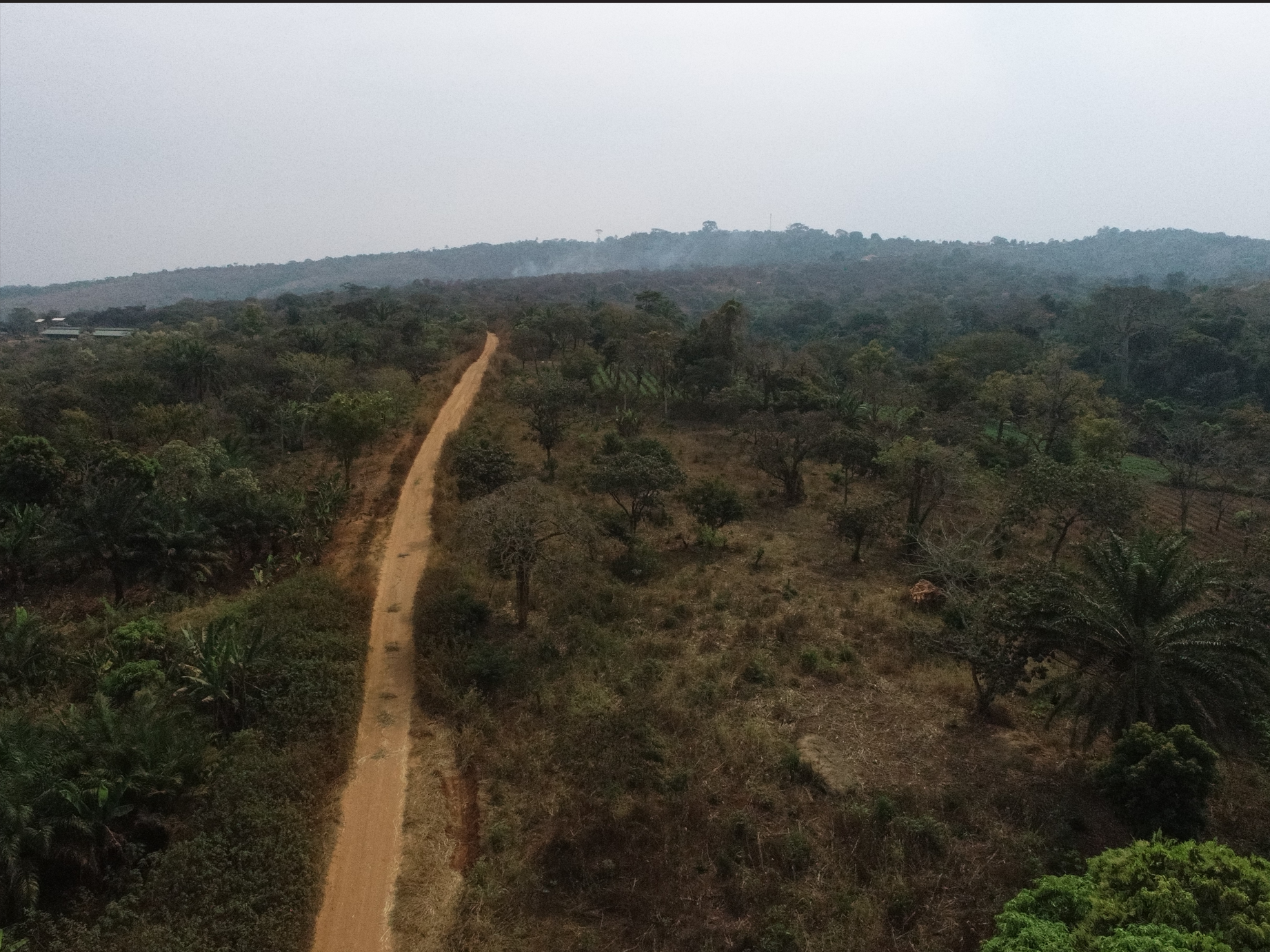
CONSTRUCTION ALEMBE – MIKOUYI´s ROAD
🛣️ Roads & Highway Infrastructure
Construction of Mvangan-Ebolowa´s Road
🛣️ Roads & Highway Infrastructure